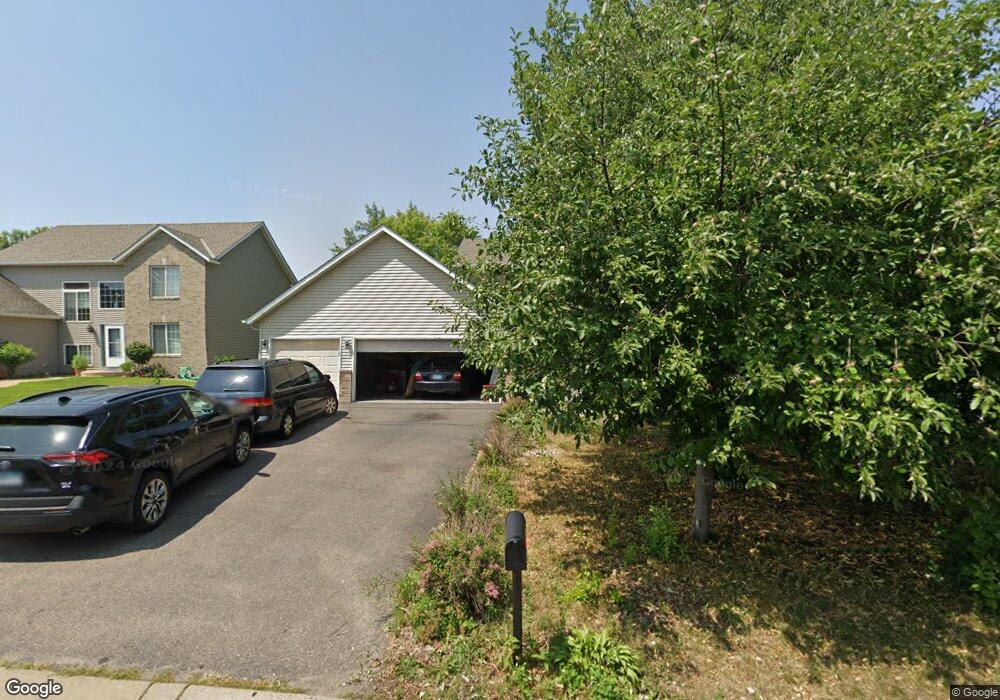
2026 Ormond Dr Shakopee, MN 55379
Estimated Value: $432,000 - $479,000
4
Beds
4
Baths
1,660
Sq Ft
$276/Sq Ft
Est. Value
About This Home
This home is located at 2026 Ormond Dr, Shakopee, MN 55379 and is currently estimated at $457,362, approximately $275 per square foot. 2026 Ormond Dr is a home located in Scott County with nearby schools including Sun Path Elementary School, Shakopee West Middle School, and Shakopee Senior High School.
Ownership History
Date
Name
Owned For
Owner Type
Purchase Details
Closed on
Mar 18, 2025
Sold by
Jumale Shukri
Bought by
Hassan Ayan
Current Estimated Value
Purchase Details
Closed on
Nov 10, 2022
Sold by
Hassan Ayan
Bought by
Jumale Shukri
Purchase Details
Closed on
Jan 8, 2019
Sold by
Jumale Shukri
Bought by
Jumale Shukri and Hassan Ayan A
Purchase Details
Closed on
Jul 31, 2017
Sold by
Dadashev Kamil and Siembab Anna
Bought by
Jumale Shukri
Home Financials for this Owner
Home Financials are based on the most recent Mortgage that was taken out on this home.
Original Mortgage
$212,180
Interest Rate
3.96%
Mortgage Type
Purchase Money Mortgage
Purchase Details
Closed on
Dec 11, 2003
Sold by
Mw Johnson Construction
Bought by
Kamil Dadashev
Create a Home Valuation Report for This Property
The Home Valuation Report is an in-depth analysis detailing your home's value as well as a comparison with similar homes in the area
Home Values in the Area
Average Home Value in this Area
Purchase History
| Date | Buyer | Sale Price | Title Company |
|---|---|---|---|
| Hassan Ayan | $500 | None Listed On Document | |
| Jumale Shukri | $500 | -- | |
| Jumale Shukri | -- | None Available | |
| Jumale Shukri | $317,400 | Cornerstone Title Inc | |
| Kamil Dadashev | $279,719 | -- |
Source: Public Records
Mortgage History
| Date | Status | Borrower | Loan Amount |
|---|---|---|---|
| Previous Owner | Jumale Shukri | $212,180 |
Source: Public Records
Tax History
| Year | Tax Paid | Tax Assessment Tax Assessment Total Assessment is a certain percentage of the fair market value that is determined by local assessors to be the total taxable value of land and additions on the property. | Land | Improvement |
|---|---|---|---|---|
| 2025 | $4,244 | $398,400 | $139,600 | $258,800 |
| 2024 | $4,116 | $402,000 | $139,600 | $262,400 |
| 2023 | $4,344 | $383,900 | $134,600 | $249,300 |
| 2022 | $4,114 | $397,900 | $153,000 | $244,900 |
| 2021 | $3,542 | $322,500 | $122,000 | $200,500 |
| 2020 | $3,814 | $302,600 | $117,000 | $185,600 |
| 2019 | $3,648 | $285,500 | $104,000 | $181,500 |
| 2018 | $3,804 | $0 | $0 | $0 |
| 2016 | $3,552 | $0 | $0 | $0 |
| 2014 | -- | $0 | $0 | $0 |
Source: Public Records
Map
Nearby Homes
- 2354 Ponds Way
- 2542 Mathias Rd
- 2577 Green Ash Ave
- 2468 Valley View Rd
- 2554 Green Ash Ave
- 2578 Green Ash Ave
- 2566 Green Ash Ave
- 2542 Green Ash Ave
- 2530 Green Ash Ave
- 3432 Baneberry Cir
- 2584 Aspen Ct
- 2697 Aspen Dr
- 2624 Aspen Dr
- 2642 Aspen Dr
- 2660 Aspen Dr
- 1976 Alden Ave
- 2694 Aspen Dr
- 2397 Rock Elm Rd
- 2113 Sandhill Dr
- 1832 Alden Ave
- 2018 Ormond Dr
- 2034 Ormond Dr
- 2025 Williams St
- 2033 Williams St
- 2010 Ormond Dr
- 2042 Ormond Dr
- 2017 Williams St
- 2710 Pampas Ct
- 2041 Williams St
- 2009 Williams St
- 2707 Pampas Ct
- 2002 Ormond Dr
- 2050 Ormond Dr
- 2049 Ormond Dr
- 2049 Williams St
- 2724 Pampas Ct
- 2001 Williams St
- 2721 Pampas Ct
- 2055 Ormond Dr
- 1994 Ormond Dr
Your Personal Tour Guide
Ask me questions while you tour the home.