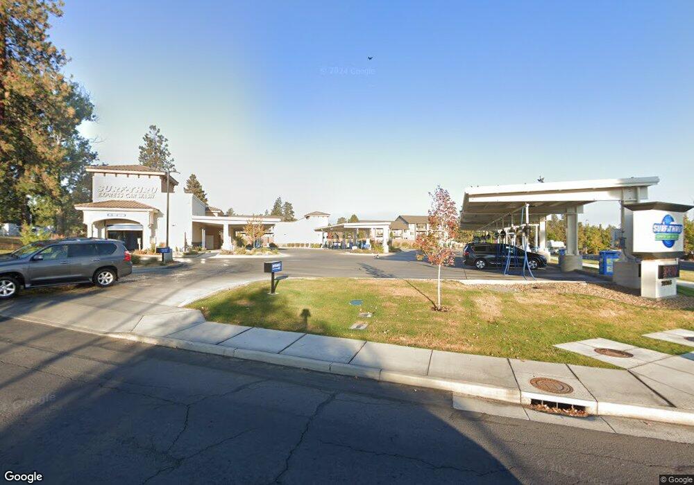
20265 Meyer Dr Bend, OR 97702
Old Farm District NeighborhoodEstimated Value: $2,669,953
--
Bed
--
Bath
9,952
Sq Ft
$268/Sq Ft
Est. Value
About This Home
This home is located at 20265 Meyer Dr, Bend, OR 97702 and is currently priced at $2,669,953, approximately $268 per square foot. 20265 Meyer Dr is a home located in Deschutes County with nearby schools including Pine Ridge Elementary School, Cascade Middle School, and Bend Senior High School.
Ownership History
Date
Name
Owned For
Owner Type
Purchase Details
Closed on
Jul 9, 2020
Sold by
Pp Bend Re Llc
Bought by
Surf Thru Inc
Current Estimated Value
Purchase Details
Closed on
Jan 1, 2007
Sold by
Moore Jack L
Bought by
Pp Bend Re Llc
Create a Home Valuation Report for This Property
The Home Valuation Report is an in-depth analysis detailing your home's value as well as a comparison with similar homes in the area
Home Values in the Area
Average Home Value in this Area
Purchase History
| Date | Buyer | Sale Price | Title Company |
|---|---|---|---|
| Surf Thru Inc | $1,800,000 | Amerititle | |
| Pp Bend Re Llc | -- | Accommodation | |
| Pp Bend Re Llc | -- | Accommodation |
Source: Public Records
Tax History Compared to Growth
Tax History
| Year | Tax Paid | Tax Assessment Tax Assessment Total Assessment is a certain percentage of the fair market value that is determined by local assessors to be the total taxable value of land and additions on the property. | Land | Improvement |
|---|---|---|---|---|
| 2025 | $34,181 | $2,022,970 | -- | -- |
| 2024 | $32,885 | $1,964,050 | -- | -- |
| 2023 | $30,484 | $1,906,850 | $0 | $0 |
| 2022 | $13,203 | $2,040,070 | $0 | $0 |
| 2021 | $32,330 | $1,980,660 | $0 | $0 |
| 2020 | $30,671 | $1,980,660 | $0 | $0 |
| 2019 | $29,817 | $1,922,980 | $0 | $0 |
| 2018 | $28,975 | $1,866,980 | $0 | $0 |
| 2017 | $28,126 | $1,812,610 | $0 | $0 |
| 2016 | $26,821 | $1,759,820 | $0 | $0 |
| 2015 | $25,787 | $1,708,570 | $0 | $0 |
| 2014 | $24,623 | $1,658,810 | $0 | $0 |
Source: Public Records
Map
Nearby Homes
- 20192 Reed Ln
- 20184 Merriewood Ln
- 1283 SW Mill Pond Place Unit 100 200 300
- 1217 SW Tanner Ct
- 1317 SW Boardwalk Ln
- 61528 Parrell Rd
- 1175 SW Chamberlain St
- 61574 SW Blakely Rd
- 20376 SE Lois Way
- 20372 Sonata Way
- 1217 SW Bryanwood Place
- 61531 SE Jennifer Ln Unit 1 & 2
- 20289 Knightsbridge Place
- 617 SW Peak View Place
- 1063 SW Crosscut Ct
- 20456 Brentwood Ave
- 977 SW Hill St
- 20085 Sally Ct
- 61366 SE Preston St
- 61379 Sally Ln
- 10 Eagles Landing
- 48 Eagles Landing
- 0 Eagles Landing Unit 2810570
- 0 Eagles Landing 60 Lots Unit 201007953
- 0 Eagles Landing Unit 201307710
- 0 Eagles Landing Unit 201303183
- 39 Eagles Landing
- 3 Eagles Landing
- 19 Eagles Landing
- 8 Eagles Landing
- 20255 Reed Ln
- 20273 Reed Ln
- 20240 Reed Ln
- 61479 S Highway 97
- 61455 S Highway 97
- 20235 Reed Ln
- 0 Reed Ln
- 61535 S Highwy 97