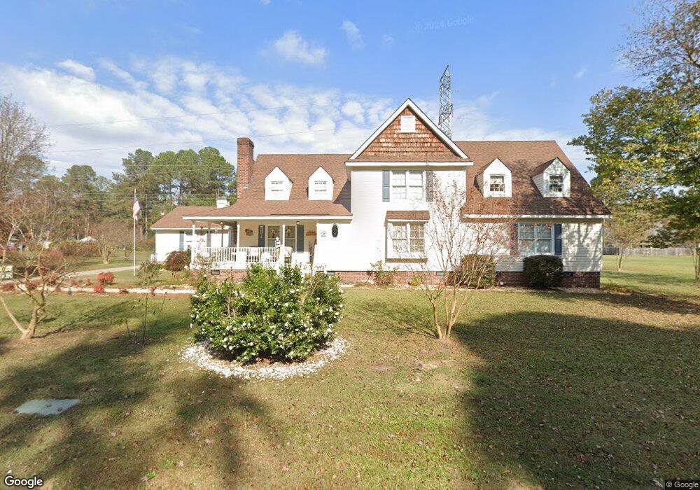
2028 Robert Ryan Dr Rocky Mount, NC 27803
Estimated Value: $438,070 - $482,000
5
Beds
5
Baths
3,800
Sq Ft
$121/Sq Ft
Est. Value
About This Home
This home is located at 2028 Robert Ryan Dr, Rocky Mount, NC 27803 and is currently estimated at $460,768, approximately $121 per square foot. 2028 Robert Ryan Dr is a home located in Nash County with nearby schools including Williford Elementary School, Winstead Avenue Elementary School, and G.R. Edwards Middle School.
Ownership History
Date
Name
Owned For
Owner Type
Purchase Details
Closed on
Nov 28, 2018
Sold by
Franks Brenda M and Reese Earl L
Bought by
Peyatt Hance J and Peyatt Rodneyyann
Current Estimated Value
Home Financials for this Owner
Home Financials are based on the most recent Mortgage that was taken out on this home.
Original Mortgage
$272,229
Outstanding Balance
$239,371
Interest Rate
4.8%
Mortgage Type
VA
Estimated Equity
$221,397
Purchase Details
Closed on
Dec 7, 1987
Bought by
Franks Wayne T and Franks Brenda M
Create a Home Valuation Report for This Property
The Home Valuation Report is an in-depth analysis detailing your home's value as well as a comparison with similar homes in the area
Home Values in the Area
Average Home Value in this Area
Purchase History
| Date | Buyer | Sale Price | Title Company |
|---|---|---|---|
| Peyatt Hance J | $266,500 | None Available | |
| Franks Wayne T | $25,000 | -- |
Source: Public Records
Mortgage History
| Date | Status | Borrower | Loan Amount |
|---|---|---|---|
| Open | Peyatt Hance J | $272,229 |
Source: Public Records
Tax History Compared to Growth
Tax History
| Year | Tax Paid | Tax Assessment Tax Assessment Total Assessment is a certain percentage of the fair market value that is determined by local assessors to be the total taxable value of land and additions on the property. | Land | Improvement |
|---|---|---|---|---|
| 2025 | $2,945 | $467,430 | $69,430 | $398,000 |
| 2024 | $2,945 | $258,910 | $69,430 | $189,480 |
| 2023 | $1,735 | $258,910 | $0 | $0 |
| 2022 | $1,774 | $258,910 | $69,430 | $189,480 |
| 2021 | $1,735 | $258,910 | $69,430 | $189,480 |
| 2020 | $1,735 | $258,910 | $69,430 | $189,480 |
| 2019 | $1,735 | $258,910 | $69,430 | $189,480 |
| 2018 | $1,735 | $258,910 | $0 | $0 |
| 2017 | $1,735 | $258,910 | $0 | $0 |
| 2015 | $1,909 | $284,879 | $0 | $0 |
| 2014 | $1,909 | $284,879 | $0 | $0 |
Source: Public Records
Map
Nearby Homes
- 600 Nichole Ln
- 616 Chad St
- 113 Edinborough Ct
- 1012 Turnstone Dr
- 4037 Brassfield Dr
- 5013 Brassfield Dr
- 108 Buckingham Ct
- 3232 Amherst Rd
- 5025 Netherwood Rd
- 108 Chelsea Ct
- 3609 Hawthorne Rd
- 3617 Hawthorne Rd
- 3545 Chelsea Dr
- 3801 Hawthorne Rd
- 3009 Wellington Dr
- 3108 Ridgecrest Dr
- 3812 Gloucester Rd
- 3712 Hawthorne Rd
- 3416 Hawthorne Rd
- 3617 Woodlawn Rd
- 2028 Robert Ryan Rd
- 2124 Robert Ryan Rd
- 601 Nichole Ln
- 2113 Edinborough Rd
- 2109 Edinborough Rd
- 2117 Edinborough Rd
- 2105 Edinborough Rd
- 2128 Robert Ryan Rd
- 604 Nichole Ln
- 2121 Edinborough Rd
- 601 Chad St
- 2101 Edinborough Rd
- 2125 Edinborough Rd
- 609 Nichole Ln
- 2132 Robert Ryan Rd
- 608 Nichole Ln
- 609 Chad St
- 2129 Edinborough Rd
- 2112 Edinborough Rd
- 2128 Edinborough Rd