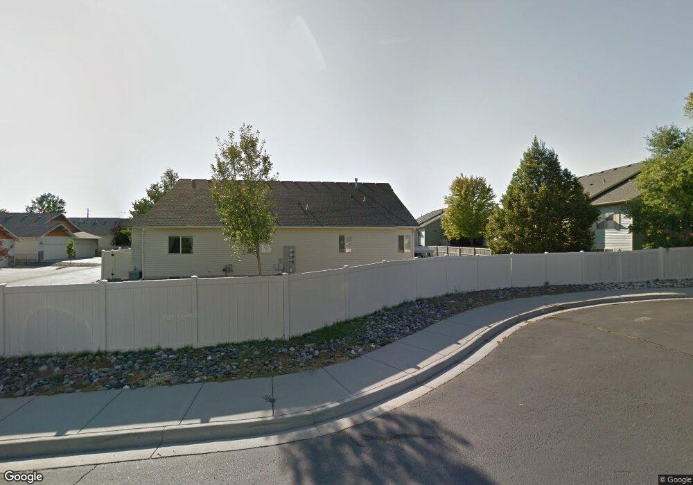
2028 Swanson Ln Billings, MT 59102
North Central Billings NeighborhoodEstimated Value: $308,000 - $389,000
3
Beds
3
Baths
1,192
Sq Ft
$301/Sq Ft
Est. Value
About This Home
This home is located at 2028 Swanson Ln, Billings, MT 59102 and is currently estimated at $359,329, approximately $301 per square foot. 2028 Swanson Ln is a home located in Yellowstone County with nearby schools including Arrowhead School, Ben Steele Middle School, and Billings West High School.
Ownership History
Date
Name
Owned For
Owner Type
Purchase Details
Closed on
Jun 25, 2015
Sold by
Beehn Donald D and Beehn Carolyn J
Bought by
Barthel Lawrence J and Barthel Rita J
Current Estimated Value
Home Financials for this Owner
Home Financials are based on the most recent Mortgage that was taken out on this home.
Original Mortgage
$184,000
Outstanding Balance
$142,817
Interest Rate
3.81%
Mortgage Type
New Conventional
Estimated Equity
$216,512
Purchase Details
Closed on
Apr 14, 2006
Sold by
Garcia Kimberlee and Brewer Kimberlee
Bought by
Beehn Donald D and Beehn Carolyn J
Home Financials for this Owner
Home Financials are based on the most recent Mortgage that was taken out on this home.
Original Mortgage
$115,000
Interest Rate
6.2%
Mortgage Type
New Conventional
Create a Home Valuation Report for This Property
The Home Valuation Report is an in-depth analysis detailing your home's value as well as a comparison with similar homes in the area
Home Values in the Area
Average Home Value in this Area
Purchase History
| Date | Buyer | Sale Price | Title Company |
|---|---|---|---|
| Barthel Lawrence J | -- | Chicago Title | |
| Beehn Donald D | -- | None Available |
Source: Public Records
Mortgage History
| Date | Status | Borrower | Loan Amount |
|---|---|---|---|
| Open | Barthel Lawrence J | $184,000 | |
| Previous Owner | Beehn Donald D | $115,000 |
Source: Public Records
Tax History Compared to Growth
Tax History
| Year | Tax Paid | Tax Assessment Tax Assessment Total Assessment is a certain percentage of the fair market value that is determined by local assessors to be the total taxable value of land and additions on the property. | Land | Improvement |
|---|---|---|---|---|
| 2025 | $3,351 | $387,900 | $41,273 | $346,627 |
| 2024 | $3,351 | $346,100 | $27,907 | $318,193 |
| 2023 | $3,351 | $346,100 | $27,907 | $318,193 |
| 2022 | $2,910 | $262,700 | $0 | $0 |
| 2021 | $2,781 | $262,700 | $0 | $0 |
| 2020 | $2,748 | $248,200 | $0 | $0 |
| 2019 | $2,623 | $248,200 | $0 | $0 |
| 2018 | $2,450 | $226,300 | $0 | $0 |
| 2017 | $2,378 | $226,300 | $0 | $0 |
| 2016 | $2,195 | $209,100 | $0 | $0 |
| 2015 | $2,172 | $214,200 | $0 | $0 |
| 2014 | $2,180 | $115,010 | $0 | $0 |
Source: Public Records
Map
Nearby Homes
- 2020 Swanson Ln
- 2213 Westfield Dr
- 2301 Elsa Dr
- 3865 Avenue C
- 3720 Parkhill Dr
- 1818 Tiburon Ln
- 4044 Backwoods Dr
- 1747 Tiburon Ln
- 4342 Rangeview Dr
- 1713 Tiburon Ln
- 3743 Hayden Dr
- 2280 Ridgewood Ln S
- 3928 Audubon Way
- TBD Rimrock Rd
- 3654 Donna Dr
- 3935 Pine Cove Rd
- 3210 40th St W
- 2238 Pine Creek Trail
- 4204 Pine Cove Rd
- 5073 Audubon Way
- 2026 Swanson Ln
- 2072 Swanson Ln
- 2070 Swanson Ln
- 2032 Swanson Ln
- 2030 Swanson Ln
- 2074 Swanson Ln
- 2012 Swanson Ln
- 2010 Swanson Ln
- 2014 Swanson Ln
- 2016 Swanson Ln
- 2076 Swanson Ln
- 2018 Swanson Ln
- 2022 Swanson Ln
- 3959 Fairmeadow Dr
- 2084 Swanson Ln
- 2086 Swanson Ln
- 2024 Swanson Ln
- 2082 Swanson Ln
- 2088 Swanson Ln
- 2061 Swanson Ln