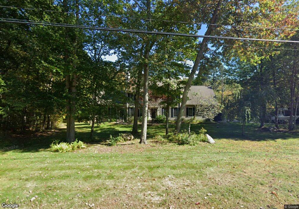
203 Charles St Tolland, CT 06084
Estimated Value: $660,000 - $693,026
4
Beds
7
Baths
3,138
Sq Ft
$216/Sq Ft
Est. Value
About This Home
This home is located at 203 Charles St, Tolland, CT 06084 and is currently estimated at $677,257, approximately $215 per square foot. 203 Charles St is a home located in Tolland County with nearby schools including Birch Grove Primary School, Tolland Intermediate School, and Tolland Middle School.
Ownership History
Date
Name
Owned For
Owner Type
Purchase Details
Closed on
Jul 22, 2009
Sold by
Cartus Financial Corp
Bought by
Ingraham Lea
Current Estimated Value
Purchase Details
Closed on
Jan 9, 2006
Sold by
Garland Steven and Garland Kimberly
Bought by
Smith Gary
Purchase Details
Closed on
Dec 13, 2000
Sold by
S D Williams Llc
Bought by
Garland Steven and Garland Kimberly
Create a Home Valuation Report for This Property
The Home Valuation Report is an in-depth analysis detailing your home's value as well as a comparison with similar homes in the area
Home Values in the Area
Average Home Value in this Area
Purchase History
| Date | Buyer | Sale Price | Title Company |
|---|---|---|---|
| Ingraham Lea | $400,000 | -- | |
| Cartus Financial Corp | $400,000 | -- | |
| Cartus Financial Corp | $400,000 | -- | |
| Smith Gary | $468,000 | -- | |
| Smith Gary | $468,000 | -- | |
| Garland Steven | $290,400 | -- | |
| Garland Steven | $290,400 | -- |
Source: Public Records
Mortgage History
| Date | Status | Borrower | Loan Amount |
|---|---|---|---|
| Open | Garland Steven | $40,000 | |
| Closed | Garland Steven | $15,000 |
Source: Public Records
Tax History Compared to Growth
Tax History
| Year | Tax Paid | Tax Assessment Tax Assessment Total Assessment is a certain percentage of the fair market value that is determined by local assessors to be the total taxable value of land and additions on the property. | Land | Improvement |
|---|---|---|---|---|
| 2025 | $11,673 | $429,300 | $79,900 | $349,400 |
| 2024 | $10,636 | $281,600 | $76,200 | $205,400 |
| 2023 | $10,512 | $281,600 | $76,200 | $205,400 |
| 2022 | $10,301 | $281,600 | $76,200 | $205,400 |
| 2021 | $10,450 | $281,600 | $76,200 | $205,400 |
| 2020 | $10,152 | $281,600 | $76,200 | $205,400 |
| 2019 | $10,822 | $300,200 | $78,500 | $221,700 |
| 2018 | $10,507 | $300,200 | $78,500 | $221,700 |
| 2017 | $10,264 | $300,200 | $78,500 | $221,700 |
| 2016 | $10,264 | $300,200 | $78,500 | $221,700 |
| 2015 | $10,015 | $300,200 | $78,500 | $221,700 |
| 2014 | $9,060 | $291,800 | $87,200 | $204,600 |
Source: Public Records
Map
Nearby Homes
- 487 Buff Cap Rd
- 644 Buff Cap Rd
- 745 Old Stafford Rd
- 0 Tolland Turnpike
- 8 Neff Hill Rd
- 15 Usher Ridge
- 68 Usher Ridge
- 36 Usher Ridge
- 110 Neff Hill Rd
- 130 Neff Hill Rd
- 105 Neff Hill Rd
- 137 Neff Hill Rd
- 100 Neff Hill Rd
- 77 Neff Hill Rd
- 84 Neff Hill Rd
- 71 Neff Hill Rd
- 5 Melissa Way
- 65 Blair Rd
- 42 Ladd Rd
- 184 Village Hill Rd
- 195 Charles St
- 215 Charles St
- 137 Deerwood Rd
- 140 Deerwood Rd
- 187 Charles St
- 89 Mt Laurel Dr
- 89 Mountain Laurel Dr
- 228 Charles St
- 218 Charles St
- 182 Charles St
- 23 Rudnansky Ln
- 22 Rudnansky Ln
- 179 Charles St
- 81 Mt Laurel Dr
- 81 Mountain Laurel Dr
- 30 Rudnansky Ln
- 174 Charles St
- 171 Charles St
- 124 Deerwood Rd
- 171 Plains Rd