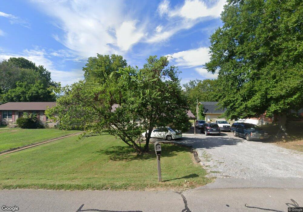
203 Pitt Ln Springfield, TN 37172
Estimated Value: $231,943 - $264,000
Studio
1
Bath
1,028
Sq Ft
$241/Sq Ft
Est. Value
About This Home
This home is located at 203 Pitt Ln, Springfield, TN 37172 and is currently estimated at $247,486, approximately $240 per square foot. 203 Pitt Ln is a home located in Robertson County with nearby schools including Westside Elementary School, Cheatham Park Elementary School, and Jo Byrns High School.
Ownership History
Date
Name
Owned For
Owner Type
Purchase Details
Closed on
Jun 30, 1992
Bought by
Vaden Michael W and Vaden Diane M
Current Estimated Value
Purchase Details
Closed on
Jan 29, 1991
Bought by
Secertary Of Housing& Urban Development
Purchase Details
Closed on
Jan 3, 1983
Bought by
Gardner Michael A Bankers Life Mortgage
Purchase Details
Closed on
Jan 1, 1978
Create a Home Valuation Report for This Property
The Home Valuation Report is an in-depth analysis detailing your home's value as well as a comparison with similar homes in the area
Home Values in the Area
Average Home Value in this Area
Purchase History
| Date | Buyer | Sale Price | Title Company |
|---|---|---|---|
| Vaden Michael W | $43,500 | -- | |
| Secertary Of Housing& Urban Development | $47,900 | -- | |
| Gardner Michael A Bankers Life Mortgage | -- | -- | |
| -- | $31,500 | -- |
Source: Public Records
Tax History
| Year | Tax Paid | Tax Assessment Tax Assessment Total Assessment is a certain percentage of the fair market value that is determined by local assessors to be the total taxable value of land and additions on the property. | Land | Improvement |
|---|---|---|---|---|
| 2025 | -- | $57,925 | $22,500 | $35,425 |
| 2024 | -- | $57,925 | $22,500 | $35,425 |
| 2023 | $1,452 | $57,925 | $22,500 | $35,425 |
| 2022 | $989 | $27,100 | $5,500 | $21,600 |
| 2021 | $863 | $23,650 | $5,500 | $18,150 |
| 2020 | $863 | $23,650 | $5,500 | $18,150 |
| 2019 | $26,009 | $23,650 | $5,500 | $18,150 |
| 2018 | $863 | $23,650 | $5,500 | $18,150 |
| 2017 | $872 | $20,350 | $4,925 | $15,425 |
| 2016 | $872 | $20,350 | $4,925 | $15,425 |
| 2015 | $847 | $20,350 | $4,925 | $15,425 |
| 2014 | $795 | $19,100 | $4,925 | $14,175 |
Source: Public Records
Map
Nearby Homes
- 244 Green Hills Dr
- 7373 New Chapel Rd
- 5148 Highway 49 W
- 506 15th Ave W
- 1024 Richard St
- 610 5th Ave W
- 409 7th Ave W
- 1421 Lawrence Ln
- 702 Richard St
- 2130 Bessie St
- 1 Bessie St
- 0 Bessie St
- 2067 Bessie St
- 588 19th Ave W
- 113 11th Ave W
- 213 21st Ave W
- 603 Crestview Dr
- 1205 S Main St
- 409 N Oak St
- 1137 Goose Dr
Your Personal Tour Guide
Ask me questions while you tour the home.