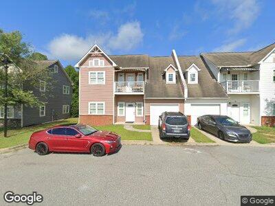
203 Solomon Cir Albany, GA 31705
Estimated Value: $91,000 - $113,756
2
Beds
3
Baths
1,435
Sq Ft
$71/Sq Ft
Est. Value
About This Home
This home is located at 203 Solomon Cir, Albany, GA 31705 and is currently estimated at $102,378, approximately $71 per square foot. 203 Solomon Cir is a home located in Dougherty County with nearby schools including Morningside Elementary School, Southside Middle School, and Monroe High School.
Ownership History
Date
Name
Owned For
Owner Type
Purchase Details
Closed on
Aug 28, 2012
Sold by
Georgia Affordable Housing Cor
Bought by
Yung Avenue Llc
Current Estimated Value
Purchase Details
Closed on
Apr 7, 2009
Sold by
Dwidon Albany Llc
Bought by
Georgia Affordable Housing Corporation
Purchase Details
Closed on
Feb 19, 2007
Sold by
Dwidon Development Group Llc
Bought by
Dwidon Albany Llc
Purchase Details
Closed on
Jul 27, 2006
Sold by
Liberty Partners Albany Land Llc
Bought by
Dwidon Development Group Llc
Create a Home Valuation Report for This Property
The Home Valuation Report is an in-depth analysis detailing your home's value as well as a comparison with similar homes in the area
Home Values in the Area
Average Home Value in this Area
Purchase History
| Date | Buyer | Sale Price | Title Company |
|---|---|---|---|
| Yung Avenue Llc | $375,000 | -- | |
| Georgia Affordable Housing Corporation | -- | -- | |
| Dwidon Albany Llc | -- | -- | |
| Dwidon Development Group Llc | $264,000 | -- |
Source: Public Records
Tax History Compared to Growth
Tax History
| Year | Tax Paid | Tax Assessment Tax Assessment Total Assessment is a certain percentage of the fair market value that is determined by local assessors to be the total taxable value of land and additions on the property. | Land | Improvement |
|---|---|---|---|---|
| 2024 | $1,107 | $23,200 | $2,800 | $20,400 |
| 2023 | $1,081 | $23,200 | $2,800 | $20,400 |
| 2022 | $1,085 | $23,200 | $2,800 | $20,400 |
| 2021 | $1,006 | $23,200 | $2,800 | $20,400 |
| 2020 | $1,008 | $23,200 | $2,800 | $20,400 |
| 2019 | $1,012 | $23,200 | $2,800 | $20,400 |
| 2018 | $1,016 | $23,200 | $2,800 | $20,400 |
| 2017 | $947 | $23,200 | $2,800 | $20,400 |
| 2016 | $947 | $23,200 | $2,800 | $20,400 |
| 2015 | $950 | $23,200 | $2,800 | $20,400 |
| 2014 | $938 | $23,200 | $2,800 | $20,400 |
Source: Public Records
Map
Nearby Homes
- 211 Collins St
- 502 Mitchell Ave
- 401 Mitchell Ave
- 1219 Bonnyview Ave
- 109 Collins St
- 1400 E Lincoln Ave
- 1401 E Waddell Ave
- 210 S Carroll St
- 1411 E Gordon Ave
- 916 Crawford Dr
- 1224 Mulberry Ave
- 608 Cason St
- 804 Cason St
- 1009 Crawford Dr
- 911 Mercedes St
- 939 Crawford Dr
- 811 S Maple St
- 1011 E Residence Ave
- 1003 E Residence Ave
- 1318 E Roosevelt Ave
- 203 Solomon Cir
- 205 Solomon Cir
- 201 Solomon Cir
- 207 Solomon Cir
- 211 Solomon Cir
- 213 Solomon Cir
- 215 Solomon Cir
- 217 Solomon Cir
- 1007 E Oglethorpe Blvd
- 700 Dunes Ave
- 800 Rood St
- 509 Dunes Ave
- 505 Dunes Ave
- 832 Frotscher St
- 501 Dunes Ave
- 709 Riley St
- 835 Van Deman St
- 801 Rood St
- 831 Frotscher St
- 834 Frotscher St