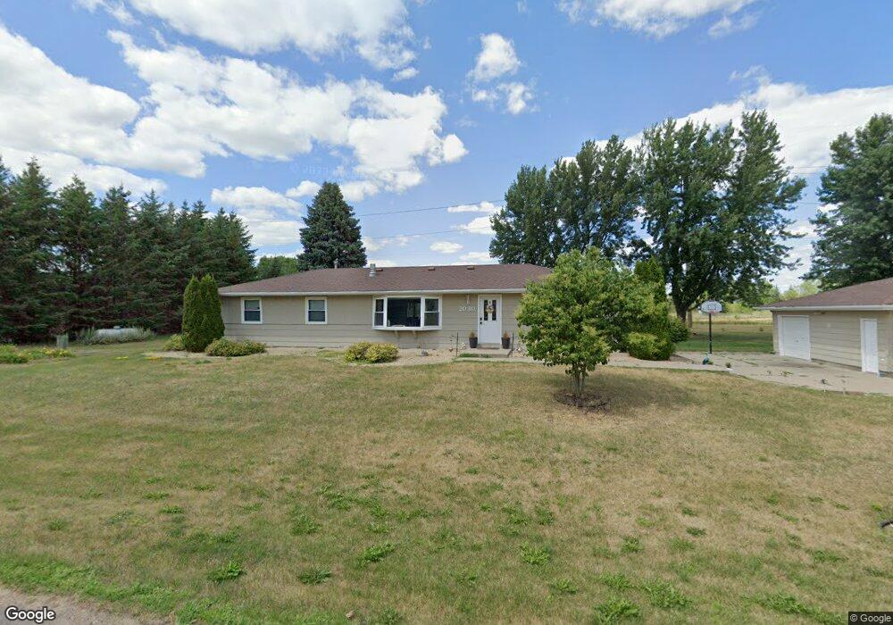
2030 Colburn Dr Shakopee, MN 55379
Estimated Value: $400,000 - $473,929
5
Beds
3
Baths
1,464
Sq Ft
$303/Sq Ft
Est. Value
About This Home
This home is located at 2030 Colburn Dr, Shakopee, MN 55379 and is currently estimated at $443,482, approximately $302 per square foot. 2030 Colburn Dr is a home located in Scott County with nearby schools including Sweeney Elementary School, East Middle School, and Shakopee Senior High School.
Ownership History
Date
Name
Owned For
Owner Type
Purchase Details
Closed on
Sep 15, 2016
Sold by
Theis Joel D and Theis Michelle A
Bought by
Langenbrunner Jeremiah J
Current Estimated Value
Home Financials for this Owner
Home Financials are based on the most recent Mortgage that was taken out on this home.
Original Mortgage
$228,000
Outstanding Balance
$182,118
Interest Rate
3.43%
Mortgage Type
New Conventional
Estimated Equity
$261,364
Create a Home Valuation Report for This Property
The Home Valuation Report is an in-depth analysis detailing your home's value as well as a comparison with similar homes in the area
Home Values in the Area
Average Home Value in this Area
Purchase History
| Date | Buyer | Sale Price | Title Company |
|---|---|---|---|
| Langenbrunner Jeremiah J | $285,000 | Trademark Title Services Inc |
Source: Public Records
Mortgage History
| Date | Status | Borrower | Loan Amount |
|---|---|---|---|
| Open | Langenbrunner Jeremiah J | $228,000 |
Source: Public Records
Tax History Compared to Growth
Tax History
| Year | Tax Paid | Tax Assessment Tax Assessment Total Assessment is a certain percentage of the fair market value that is determined by local assessors to be the total taxable value of land and additions on the property. | Land | Improvement |
|---|---|---|---|---|
| 2025 | $3,948 | $474,900 | $239,700 | $235,200 |
| 2024 | $3,718 | $468,800 | $241,800 | $227,000 |
| 2023 | $3,750 | $432,400 | $223,000 | $209,400 |
| 2022 | $3,190 | $431,300 | $205,900 | $225,400 |
| 2021 | $2,800 | $315,100 | $146,800 | $168,300 |
| 2020 | $3,330 | $313,300 | $144,800 | $168,500 |
| 2019 | $3,350 | $316,000 | $147,600 | $168,400 |
| 2018 | $3,140 | $0 | $0 | $0 |
| 2016 | $2,788 | $0 | $0 | $0 |
Source: Public Records
Map
Nearby Homes
- 2224 Quarry Ln
- 1279 Taylor St Unit 5
- 1259 Taylor St Unit 3
- 1226 Polk St S
- 1853 Stone Meadow Blvd
- The Cali Plan at Bluff View - Bluff View Freedom Series
- The Pattison Plan at Bluff View - Bluff View Cottage Series
- The Dover II Plan at Bluff View - Bluff View Freedom Series
- The Harmony Plan at Bluff View - Bluff View Freedom Series
- The Tatum Plan at Bluff View - Bluff View Cottage Series
- The Edison Plan at Bluff View - Bluff View Cottage Series
- The Ferguson Plan at Bluff View - Bluff View Cottage Series
- The Clifton II Plan at Bluff View - Bluff View Freedom Series
- 2074 Latour Dr
- 1675 Denali Dr
- 1687 Denali Dr
- 2110 La Tour Dr
- 2128 La Tour Dr
- 2146 La Tour Dr
- 2164 La Tour Dr
- 2030 2030 Colburn-Drive-
- 2090 Colburn Dr
- 2065 Colburn Dr
- 2121 Colburn Dr W
- 2121 Colburn Dr
- 2121 2121 Colburn Dr
- 2140 Colburn Dr
- 2021 Colburn Dr
- 2161 Colburn Dr
- 2005 Colburn Dr
- 2015 Colburn Dr
- 2183 Colburn Dr
- XXXXX Old Brick Yard Rd
- 11810 Bonnevista Dr
- 2175 Colburn Dr
- 740 Fern Lane Terrace
- 744 Fern Lane Terrace
- 746 Fern Lane Terrace
- 742 Fern Lane Terrace
- 748 Fern Lane Terrace