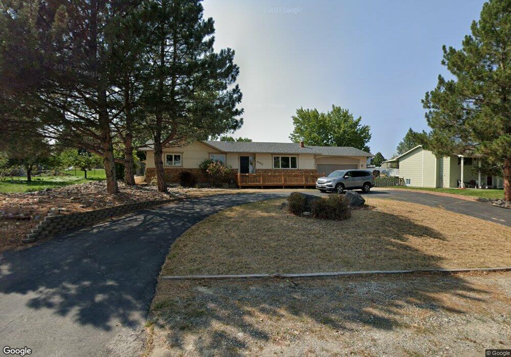
2030 Constellation Trail Billings, MT 59105
Billings Heights NeighborhoodEstimated Value: $462,000 - $542,000
5
Beds
3
Baths
3,368
Sq Ft
$148/Sq Ft
Est. Value
About This Home
This home is located at 2030 Constellation Trail, Billings, MT 59105 and is currently estimated at $499,608, approximately $148 per square foot. 2030 Constellation Trail is a home located in Yellowstone County with nearby schools including Bench School, Medicine Crow Middle School, and Skyview High School.
Ownership History
Date
Name
Owned For
Owner Type
Purchase Details
Closed on
Oct 16, 2014
Sold by
Ivie Lynn M and Ivie Jeffrey S
Bought by
Sasse Lyle S
Current Estimated Value
Home Financials for this Owner
Home Financials are based on the most recent Mortgage that was taken out on this home.
Original Mortgage
$264,029
Outstanding Balance
$202,267
Interest Rate
4.08%
Mortgage Type
New Conventional
Estimated Equity
$297,341
Create a Home Valuation Report for This Property
The Home Valuation Report is an in-depth analysis detailing your home's value as well as a comparison with similar homes in the area
Home Values in the Area
Average Home Value in this Area
Purchase History
| Date | Buyer | Sale Price | Title Company |
|---|---|---|---|
| Sasse Lyle S | -- | Chicago Title | |
| Sasse Lyle S | -- | Chicago Title |
Source: Public Records
Mortgage History
| Date | Status | Borrower | Loan Amount |
|---|---|---|---|
| Open | Sasse Lyle S | $264,029 | |
| Closed | Sasse Lyle S | $264,029 |
Source: Public Records
Tax History Compared to Growth
Tax History
| Year | Tax Paid | Tax Assessment Tax Assessment Total Assessment is a certain percentage of the fair market value that is determined by local assessors to be the total taxable value of land and additions on the property. | Land | Improvement |
|---|---|---|---|---|
| 2025 | $4,295 | $460,100 | $91,733 | $368,367 |
| 2024 | $4,295 | $412,800 | $67,559 | $345,241 |
| 2023 | $4,358 | $412,800 | $67,559 | $345,241 |
| 2022 | $3,863 | $318,600 | $0 | $0 |
| 2021 | $3,601 | $318,600 | $0 | $0 |
| 2020 | $3,444 | $291,300 | $0 | $0 |
| 2019 | $3,293 | $291,300 | $0 | $0 |
| 2018 | $3,019 | $259,200 | $0 | $0 |
| 2017 | $2,399 | $259,200 | $0 | $0 |
| 2016 | $2,649 | $235,600 | $0 | $0 |
| 2015 | $2,590 | $235,600 | $0 | $0 |
| 2014 | $2,324 | $110,929 | $0 | $0 |
Source: Public Records
Map
Nearby Homes
- 1949 St Andrews Dr
- TBD Gayle Block 17 Lot 4 Dr
- 2029 Ridgeview Dr
- 2030 Gayle Dr
- TBD Gayle Block 17 Lot 7 Dr
- TBD Gayle Blk 10 Lot 5 Dr
- TBD Sharron Block 14 Lot8 Ln
- TBD Gayle Block 17 Lot 8 Dr
- 2049 Saint Andrews Dr
- 2143 Interlachen Dr
- 2115 Saint Andrews Dr
- 511 Winged Foot Dr
- 104 Stillwater Ln
- 237 Sharron Ln
- 130 132 Stillwater Ln
- 2004 Lake Elmo Dr
- 1707 Broadview Dr
- 1937 Lake Elmo Dr
- TBD Saint Andrews Dr
- 1703 Cody Dr
- 2036 Constellation Trail
- 2018 Constellation Trail
- 2017 Interlachen Dr
- 2012 Constellation Trail
- 2011 Interlachen Dr
- 2042 Constellation Trail
- 2025 Interlachen Dr
- 2039 Constellation Trail
- 2003 Interlachen Dr
- 2033 Interlachen Dr
- 2043 Constellation Trail
- 2019 Constellation Trail
- 2016 Interlachen Dr
- 2041 Constellation Trail
- 1939 Southern Hills Dr
- 2050 Constellation Trail
- 2026 Interlachen Dr
- 2006 Interlachen Dr
- PARCEL 1 Eagle
- 2011 Constellation Trail