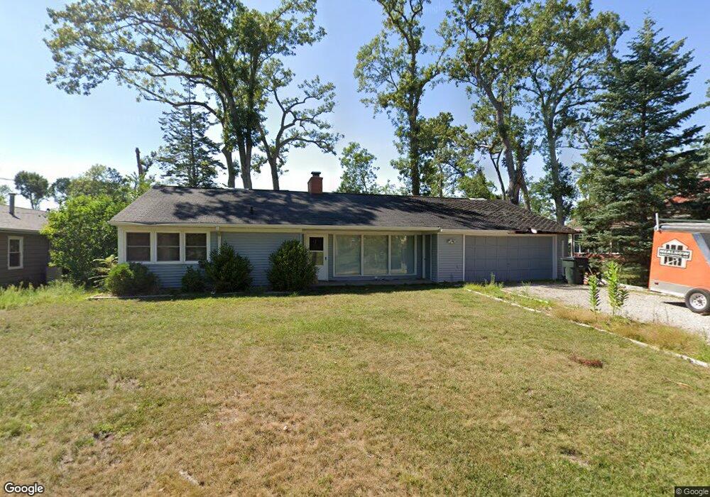
2030 Deerpath Ln SE Cedar Rapids, IA 52403
Bever Park NeighborhoodEstimated Value: $93,894 - $175,000
2
Beds
1
Bath
1,170
Sq Ft
$115/Sq Ft
Est. Value
About This Home
This home is located at 2030 Deerpath Ln SE, Cedar Rapids, IA 52403 and is currently estimated at $133,974, approximately $114 per square foot. 2030 Deerpath Ln SE is a home located in Linn County with nearby schools including Franklin Middle School, George Washington High School, and St. Matthew School.
Ownership History
Date
Name
Owned For
Owner Type
Purchase Details
Closed on
Mar 20, 2025
Sold by
Hahn David J and Carrara Lisa A
Bought by
David J Hahn And Lisa A Carrara Joint Revocab and Hahn
Current Estimated Value
Create a Home Valuation Report for This Property
The Home Valuation Report is an in-depth analysis detailing your home's value as well as a comparison with similar homes in the area
Home Values in the Area
Average Home Value in this Area
Purchase History
| Date | Buyer | Sale Price | Title Company |
|---|---|---|---|
| David J Hahn And Lisa A Carrara Joint Revocab | -- | None Listed On Document | |
| David J Hahn And Lisa A Carrara Joint Revocab | -- | None Listed On Document |
Source: Public Records
Tax History
| Year | Tax Paid | Tax Assessment Tax Assessment Total Assessment is a certain percentage of the fair market value that is determined by local assessors to be the total taxable value of land and additions on the property. | Land | Improvement |
|---|---|---|---|---|
| 2025 | $1,396 | $40,700 | $40,700 | -- |
| 2024 | $1,672 | $35,600 | $35,600 | -- |
| 2023 | $1,672 | $78,900 | $35,600 | $43,300 |
| 2022 | $1,624 | $79,300 | $35,600 | $43,700 |
| 2021 | $2,468 | $78,400 | $35,600 | $42,800 |
| 2020 | $2,468 | $111,900 | $27,200 | $84,700 |
| 2019 | $2,312 | $107,300 | $27,200 | $80,100 |
| 2018 | $2,454 | $107,300 | $27,200 | $80,100 |
| 2017 | $2,378 | $116,400 | $27,200 | $89,200 |
| 2016 | $2,378 | $111,900 | $27,200 | $84,700 |
| 2015 | $2,194 | $103,073 | $27,160 | $75,913 |
| 2014 | $2,194 | $114,646 | $33,950 | $80,696 |
| 2013 | $2,388 | $114,646 | $33,950 | $80,696 |
Source: Public Records
Map
Nearby Homes
- 329 Sinclair Ave SE
- 2027 Linn Blvd SE
- 2036 Linn Blvd SE
- 2241 Linden Dr SE
- 202 Forest Dr SE
- 190 Cottage Grove Ave SE Unit 104
- 2451 Grande Ave SE
- 2260 Country Club Pkwy SE
- 2135 1st Ave SE Unit 121
- 2135 1st Ave SE Unit 325
- 2135 1st Ave SE Unit 115
- 2135 1st Ave SE Unit 217
- 2131 1st Ave SE Unit 310
- 2249 Grande Ave SE
- 100 Thompson Dr SE Unit 212
- 100 Thompson Dr SE Unit 116
- 130 Thompson Dr SE Unit 214
- 130 Thompson Dr SE Unit 212
- 130 Thompson Dr SE Unit 210
- 237 34th St SE
- 2040 Deerpath Ln SE
- 494 Indian Rd SE
- 2025 Markert Blvd SE
- 2019 Markert Blvd SE
- 2041 Markert Blvd SE
- 2050 Deerpath Ln SE
- 2047 Markert Blvd SE
- 437 Liberty Dr SE
- 495 Indian Rd SE
- 2028 Markert Blvd SE
- 2022 Markert Blvd SE
- 2034 Markert Blvd SE
- 2012 Markert Blvd SE
- 2040 Markert Blvd SE
- 425 Liberty Dr SE
- 460 Liberty Dr SE
- 450 Liberty Dr SE
- 514 Indian Rd SE
- 457 Indian Rd SE
- 415 Liberty Dr SE