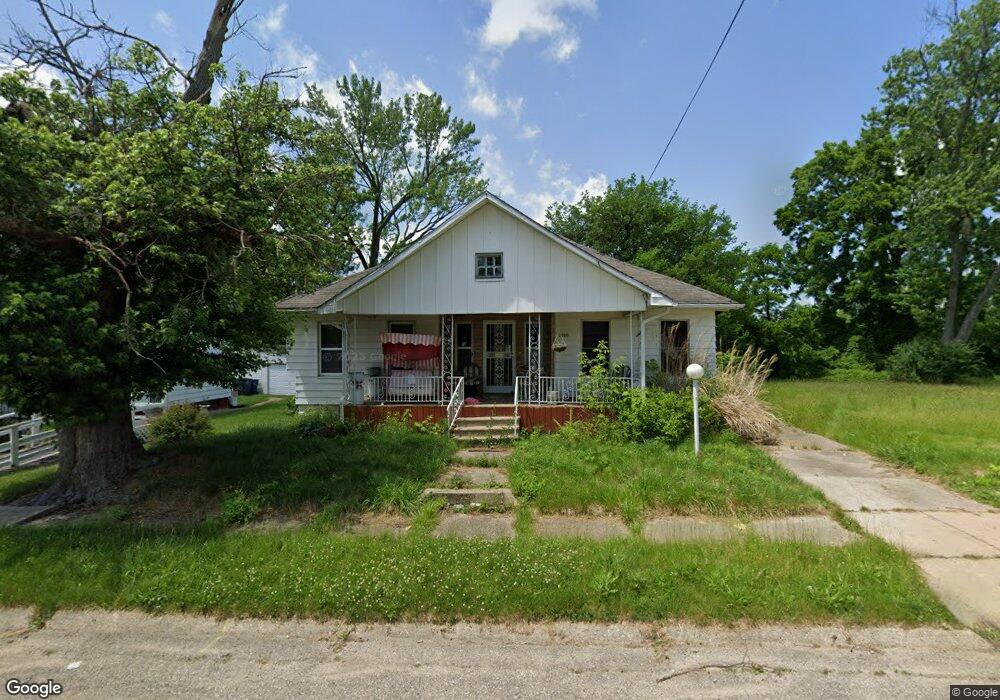
2030 Ferris Ave Flint, MI 48503
South Parks NeighborhoodEstimated Value: $41,000 - $61,000
3
Beds
1
Bath
1,288
Sq Ft
$40/Sq Ft
Est. Value
About This Home
This home is located at 2030 Ferris Ave, Flint, MI 48503 and is currently estimated at $51,518, approximately $39 per square foot. 2030 Ferris Ave is a home located in Genesee County with nearby schools including Freeman Elementary School, Flint Southwestern Classical Academy, and International Academy of Flint (K-12).
Ownership History
Date
Name
Owned For
Owner Type
Purchase Details
Closed on
Oct 10, 2025
Sold by
Watson Elaine D and Thomas Shelly
Bought by
Thomas Shelly D and Logan Cheryl
Current Estimated Value
Purchase Details
Closed on
Aug 4, 2014
Sold by
Genesee County Land Bank Authority
Bought by
Watson Elaine
Purchase Details
Closed on
Dec 20, 2012
Sold by
Cherry Deborah L and Genesee County Treasurer
Bought by
Genesee County Land Bank
Purchase Details
Closed on
Sep 23, 2008
Sold by
Watson Harold D and Watson Elaine D
Bought by
Watson Elaine D
Purchase Details
Closed on
Dec 28, 2006
Sold by
Etheridge David K and Estate Of Peggy Etheridge
Bought by
Watson Harold D and Watson Elaine D
Purchase Details
Closed on
Dec 7, 2000
Sold by
Ringer Stephanie K
Bought by
Ehteridge Peggy M
Create a Home Valuation Report for This Property
The Home Valuation Report is an in-depth analysis detailing your home's value as well as a comparison with similar homes in the area
Home Values in the Area
Average Home Value in this Area
Purchase History
| Date | Buyer | Sale Price | Title Company |
|---|---|---|---|
| Thomas Shelly D | -- | None Listed On Document | |
| Watson Elaine | $4,600 | None Available | |
| Genesee County Land Bank | -- | None Available | |
| Watson Elaine D | -- | None Available | |
| Watson Harold D | $21,500 | None Available | |
| Ehteridge Peggy M | -- | -- |
Source: Public Records
Tax History
| Year | Tax Paid | Tax Assessment Tax Assessment Total Assessment is a certain percentage of the fair market value that is determined by local assessors to be the total taxable value of land and additions on the property. | Land | Improvement |
|---|---|---|---|---|
| 2025 | $781 | $17,100 | $0 | $0 |
| 2024 | $731 | $14,400 | $0 | $0 |
| 2023 | $721 | $12,200 | $0 | $0 |
| 2022 | $0 | $10,700 | $0 | $0 |
| 2021 | $612 | $9,300 | $0 | $0 |
| 2020 | $564 | $9,100 | $0 | $0 |
| 2019 | $557 | $7,900 | $0 | $0 |
| 2018 | $531 | $7,100 | $0 | $0 |
| 2017 | $519 | $0 | $0 | $0 |
| 2016 | $516 | $0 | $0 | $0 |
| 2015 | -- | $0 | $0 | $0 |
| 2014 | -- | $0 | $0 | $0 |
| 2012 | -- | $7,900 | $0 | $0 |
Source: Public Records
Map
Nearby Homes
- 2050 Ferris Ave
- 2010 Crocker Ave
- 2224 Crocker Ave
- 1720 Park St
- 1701 Park St
- 2221 Howard Ave
- 2029 Winans Ave
- 149 E Tobias St
- 149 E Linsey Blvd
- 133 E Oakley St
- 2033 Seymour Ave
- 1851 Seymour Ave
- 517 Morley Ave
- 636 Partridge St
- 1517 Tacoma St
- 1511 Tacoma St
- 915 E 8th St
- 3218 Collingwood Pkwy
- 1510 S Franklin Ave
- 213 E Lakeview Ave
- 2026 Ferris Ave
- 2034 Ferris Ave
- 2038 Ferris Ave
- 2033 Warner Ave
- 2018 Ferris Ave
- 2042 Ferris Ave
- 2031 Ferris Ave
- 2027 Ferris Ave
- 2033 Ferris Ave
- 2017 Ferris Ave
- 2041 Warner Ave
- 2023 Ferris Ave
- 2046 Ferris Ave
- 2041 Ferris Ave
- 2045 Warner Ave
- 2015 Warner Ave
- 2010 Ferris Ave
- 2030 Warner Ave
- 2030 Dwight Ave
- 2026 Dwight Ave
Your Personal Tour Guide
Ask me questions while you tour the home.