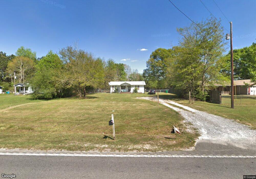
20300 Highway 613 Moss Point, MS 39562
Estimated Value: $89,908 - $217,000
--
Bed
1
Bath
1,064
Sq Ft
$143/Sq Ft
Est. Value
About This Home
This home is located at 20300 Highway 613, Moss Point, MS 39562 and is currently estimated at $152,477, approximately $143 per square foot. 20300 Highway 613 is a home located in Jackson County with nearby schools including East Central Lower Elementary School, East Central Upper Elementary School, and East Central Middle School.
Ownership History
Date
Name
Owned For
Owner Type
Purchase Details
Closed on
Aug 1, 2017
Sold by
Roberts Joshua
Bought by
Tunnell Cynthia Ann
Current Estimated Value
Home Financials for this Owner
Home Financials are based on the most recent Mortgage that was taken out on this home.
Original Mortgage
$98,188
Outstanding Balance
$81,167
Interest Rate
3.62%
Mortgage Type
FHA
Estimated Equity
$71,310
Purchase Details
Closed on
Feb 13, 2017
Sold by
Lewis Alfred F and Lewis Brandy A
Bought by
Roberts Joshua S
Create a Home Valuation Report for This Property
The Home Valuation Report is an in-depth analysis detailing your home's value as well as a comparison with similar homes in the area
Home Values in the Area
Average Home Value in this Area
Purchase History
| Date | Buyer | Sale Price | Title Company |
|---|---|---|---|
| Tunnell Cynthia Ann | -- | Dhi Title Of Al Dba Dhi Titl | |
| Roberts Joshua S | $23,000 | None Available |
Source: Public Records
Mortgage History
| Date | Status | Borrower | Loan Amount |
|---|---|---|---|
| Open | Tunnell Cynthia Ann | $98,188 |
Source: Public Records
Tax History Compared to Growth
Tax History
| Year | Tax Paid | Tax Assessment Tax Assessment Total Assessment is a certain percentage of the fair market value that is determined by local assessors to be the total taxable value of land and additions on the property. | Land | Improvement |
|---|---|---|---|---|
| 2024 | $267 | $3,372 | $190 | $3,182 |
| 2023 | $267 | $3,372 | $190 | $3,182 |
| 2022 | $255 | $3,372 | $190 | $3,182 |
| 2021 | $259 | $3,404 | $190 | $3,214 |
| 2020 | $246 | $3,077 | $176 | $2,901 |
| 2019 | $242 | $3,077 | $176 | $2,901 |
| 2018 | $375 | $3,077 | $176 | $2,901 |
| 2017 | $255 | $3,077 | $176 | $2,901 |
| 2016 | $240 | $3,077 | $176 | $2,901 |
| 2015 | $223 | $28,160 | $1,760 | $26,400 |
| 2014 | $217 | $2,816 | $176 | $2,640 |
| 2013 | $250 | $3,468 | $176 | $3,292 |
Source: Public Records
Map
Nearby Homes
- 21217 E Trails End Rd
- 7201 Park Ridge Dr S
- 7805 Songbird Ln
- 6709 Caraway Rd
- 0 Dap Rd E
- 01 Dap Rd E
- 18517 Goff Farm Rd
- 5402 Huckleberry Ln
- Lot 32 Huckleberry Ln
- 27 Acres Brinkman Rd E
- 8200 Butler Rd
- 23117 Hinton Rd
- 19014 Rucks Krans Rd
- 0 Frank Snell Rd Unit 4108021
- 19101 Rucks Krans Rd
- 17500 Goff Farm Rd
- 23601 Hinton Rd
- 0 Grafe Homestead Rd Unit 4113097
- 23ac Hinton Rd
- 37.9 Acres Ceres Farm Rd
- 20308 Highway 613
- 20232 Highway 613
- 20228 Highway 613
- 20312 Highway 613
- 20316 Mississippi 613
- 20316 Highway 613
- 20200 Highway 613
- 20324 Highway 613
- 20317 Highway 613
- 20320 Highway 613 Unit DRO
- 20201 Highway 613
- 20318 Highway 613 Unit DRO
- 20334 Highway 613
- 20146 Highway 613
- 20144 Highway 613
- 20100 Highway 613
- 20301 Highway 613 Unit DRO
- 20412 Highway 613
- 20101 Highway 613
- 20024 Highway 613