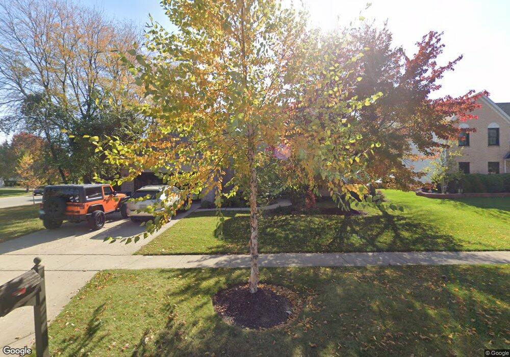
2031 Carlisle St Algonquin, IL 60102
Estimated Value: $501,000 - $571,831
4
Beds
3
Baths
2,960
Sq Ft
$183/Sq Ft
Est. Value
About This Home
This home is located at 2031 Carlisle St, Algonquin, IL 60102 and is currently estimated at $540,458, approximately $182 per square foot. 2031 Carlisle St is a home located in McHenry County with nearby schools including Westfield Community School, Kenneth E Neubert Elementary School, and United Junior High School.
Ownership History
Date
Name
Owned For
Owner Type
Purchase Details
Closed on
Nov 20, 2000
Sold by
Ellaboudy Sherif G and Ellaboudy Jeneina M
Bought by
Sabaj Jeffrey S and Sabaj Carissa A
Current Estimated Value
Home Financials for this Owner
Home Financials are based on the most recent Mortgage that was taken out on this home.
Original Mortgage
$230,800
Outstanding Balance
$84,985
Interest Rate
7.87%
Estimated Equity
$455,473
Purchase Details
Closed on
Mar 2, 1995
Sold by
Sentry Construction Inc
Bought by
Legacy Fine Custom Homes Inc
Purchase Details
Closed on
Aug 17, 1994
Sold by
The Steel City Bank Of Chicago
Bought by
Ellaboudy Sherif G and Ellaboudy Jeneina M
Create a Home Valuation Report for This Property
The Home Valuation Report is an in-depth analysis detailing your home's value as well as a comparison with similar homes in the area
Home Values in the Area
Average Home Value in this Area
Purchase History
| Date | Buyer | Sale Price | Title Company |
|---|---|---|---|
| Sabaj Jeffrey S | $288,500 | 1St American Title | |
| Legacy Fine Custom Homes Inc | $65,000 | -- | |
| Ellaboudy Sherif G | $56,500 | Chicago Title |
Source: Public Records
Mortgage History
| Date | Status | Borrower | Loan Amount |
|---|---|---|---|
| Open | Sabaj Jeffrey S | $230,800 |
Source: Public Records
Tax History Compared to Growth
Tax History
| Year | Tax Paid | Tax Assessment Tax Assessment Total Assessment is a certain percentage of the fair market value that is determined by local assessors to be the total taxable value of land and additions on the property. | Land | Improvement |
|---|---|---|---|---|
| 2024 | $13,233 | $177,157 | $46,008 | $131,149 |
| 2023 | $12,594 | $158,444 | $41,148 | $117,296 |
| 2022 | $11,650 | $141,844 | $45,721 | $96,123 |
| 2021 | $11,193 | $132,145 | $42,595 | $89,550 |
| 2020 | $10,907 | $127,467 | $41,087 | $86,380 |
| 2019 | $10,652 | $122,001 | $39,325 | $82,676 |
| 2018 | $10,171 | $112,703 | $36,328 | $76,375 |
| 2017 | $9,975 | $106,173 | $34,223 | $71,950 |
| 2016 | $9,841 | $99,581 | $32,098 | $67,483 |
| 2013 | -- | $81,510 | $29,944 | $51,566 |
Source: Public Records
Map
Nearby Homes
- 2161 Burnham Ct
- 000 County Line Rd
- 2043 Peach Tree Ln Unit 4122
- 1971 Peach Tree Ln
- 1900 Waverly Ln
- 30 Arbordale Ct Unit 4284
- 741 Regal Ln
- 1820 Crofton Dr
- 2235 Dawson Ln
- 661 Majestic Dr
- 2060 Dorchester Ave
- 700 Fairfield Ln
- 1 N Hubbard St
- SWC Talaga and Algonquin Rd
- Adams Plan at Algonquin Meadows - Single Family
- Sequoia Plan at Algonquin Meadows - Single Family
- Bryce Plan at Algonquin Meadows - Single Family
- Rainier Plan at Algonquin Meadows - Single Family
- Santa Rosa Plan at Algonquin Meadows - Single Family
- Biscayne Plan at Algonquin Meadows - Single Family
- 2051 Carlisle St
- 2071 Carlisle St
- 2010 Carlisle St
- 2030 Carlisle St
- 1405 Stonegate Rd
- 2101 Burnham Ct
- 1425 Stonegate Rd
- 2091 Carlisle St
- 2050 Carlisle St
- 1385 Stonegate Rd
- 1430 Darlington Ct
- 1400 Darlington Ct
- 2070 Carlisle St
- 2070 Carlisle St
- 2090 Burnham Ct
- 2011 Tunbridge Trail
- 1410 Darlington Ct
- 2111 Carlisle St
- 2121 Burnham Ct
- 2021 Tunbridge Trail