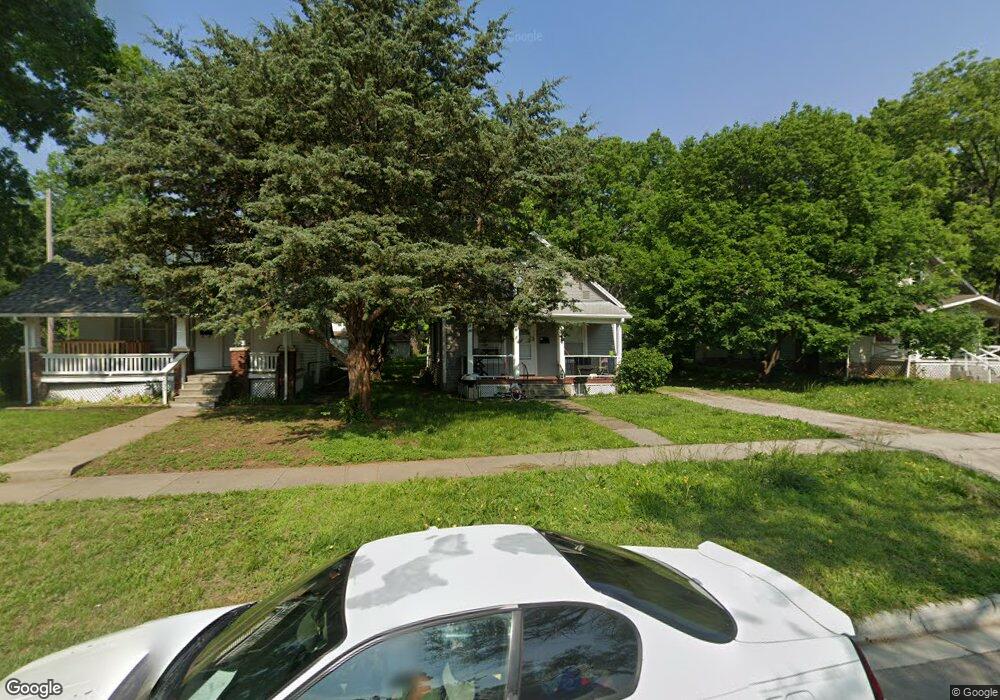
2031 SW Lane St Topeka, KS 66604
Chesney Park NeighborhoodEstimated Value: $70,000 - $145,000
3
Beds
1
Bath
1,111
Sq Ft
$98/Sq Ft
Est. Value
About This Home
This home is located at 2031 SW Lane St, Topeka, KS 66604 and is currently estimated at $109,000, approximately $98 per square foot. 2031 SW Lane St is a home located in Shawnee County with nearby schools including Robinson Middle School, Topeka High School, and Mater Dei Catholic School.
Ownership History
Date
Name
Owned For
Owner Type
Purchase Details
Closed on
Jun 21, 2019
Sold by
Carlat Kenneth L and Carlat Marie J
Bought by
Kmc5 Llc
Current Estimated Value
Home Financials for this Owner
Home Financials are based on the most recent Mortgage that was taken out on this home.
Original Mortgage
$236,759
Outstanding Balance
$207,321
Interest Rate
3.9%
Mortgage Type
Unknown
Estimated Equity
-$98,321
Purchase Details
Closed on
Jun 28, 2005
Sold by
Passow Realty Llc
Bought by
Carlat Kenneth L and Carlat Marie J
Create a Home Valuation Report for This Property
The Home Valuation Report is an in-depth analysis detailing your home's value as well as a comparison with similar homes in the area
Home Values in the Area
Average Home Value in this Area
Purchase History
| Date | Buyer | Sale Price | Title Company |
|---|---|---|---|
| Kmc5 Llc | -- | None Available | |
| Carlat Kenneth L | -- | None Available |
Source: Public Records
Mortgage History
| Date | Status | Borrower | Loan Amount |
|---|---|---|---|
| Open | Kmc5 Llc | $236,759 | |
| Closed | Kmc5 Llc | $70,000 |
Source: Public Records
Tax History Compared to Growth
Tax History
| Year | Tax Paid | Tax Assessment Tax Assessment Total Assessment is a certain percentage of the fair market value that is determined by local assessors to be the total taxable value of land and additions on the property. | Land | Improvement |
|---|---|---|---|---|
| 2025 | $742 | $6,041 | -- | -- |
| 2023 | $742 | $5,428 | $0 | $0 |
| 2022 | $692 | $5,072 | $0 | $0 |
| 2021 | $692 | $4,611 | $0 | $0 |
| 2020 | $447 | $3,115 | $0 | $0 |
| 2019 | $440 | $3,054 | $0 | $0 |
| 2018 | $427 | $2,966 | $0 | $0 |
| 2017 | $428 | $2,966 | $0 | $0 |
| 2014 | $432 | $2,966 | $0 | $0 |
Source: Public Records
Map
Nearby Homes
- 2058 SW Buchanan St
- 1907 SW Buchanan St
- 1647 SW 21st St
- 1822 SW Lane St
- 1912 SW Buchanan St
- 2129 SW Buchanan St
- 1556 SW 23rd St
- 1501-1599 SW 17th St
- 1700 SW Buchanan St
- 1630 SW Buchanan St
- 918 SW 17th St
- 1620 SW Clay St
- 1527 SW Mulvane St
- 1637 SW Fillmore St
- 1608 SW 26th St
- 1610 SW Central Park Ave
- 1531 SW 15th St
- 1500 SW Mulvane St
- 1015 SW 16th St
- 1717 SW 15th St
- 2035 SW Lane St
- 2027 SW Lane St
- 2021 SW Lane St
- 1514 SW Hampton St
- 2028 SW Washburn Ave
- 2026 SW Washburn Ave
- 2051 SW Lane St
- 2017 SW Lane St
- 2024 SW Washburn Ave
- 2032 SW Washburn Ave
- 2032 SW Lane St
- 2028 SW Lane St
- 2034 SW Lane St
- 2020 SW Lane St
- 2024 SW Lane St
- 2020 SW Washburn Ave
- 2056 SW Washburn Ave
- 2059 SW Lane St
- 2050 SW Lane St
- 2012 SW Washburn Ave