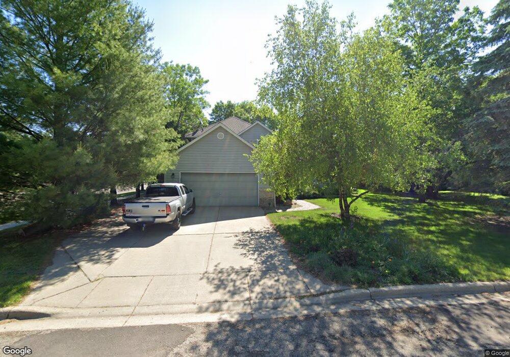
2031 Taylor Ct Northfield, MN 55057
Estimated Value: $403,000 - $421,000
4
Beds
3
Baths
1,415
Sq Ft
$290/Sq Ft
Est. Value
About This Home
This home is located at 2031 Taylor Ct, Northfield, MN 55057 and is currently estimated at $410,405, approximately $290 per square foot. 2031 Taylor Ct is a home located in Rice County with nearby schools including Bridgewater Elementary School, Northfield Middle School, and Northfield Senior High School.
Ownership History
Date
Name
Owned For
Owner Type
Purchase Details
Closed on
Apr 19, 2004
Sold by
Watts Timothy M and Watts Ann M
Bought by
Hoschouer Jack D and Hoschouer Natividad Ayako
Current Estimated Value
Purchase Details
Closed on
Feb 8, 2002
Sold by
Jasnoch Construction Inc
Bought by
Watts Timothy M and Watts Ann M
Purchase Details
Closed on
Nov 20, 2001
Sold by
Dockstader James H and Dockstader Sandra A
Bought by
Jasnoch Construction Inc
Create a Home Valuation Report for This Property
The Home Valuation Report is an in-depth analysis detailing your home's value as well as a comparison with similar homes in the area
Home Values in the Area
Average Home Value in this Area
Purchase History
| Date | Buyer | Sale Price | Title Company |
|---|---|---|---|
| Hoschouer Jack D | $228,500 | -- | |
| Watts Timothy M | $197,000 | -- | |
| Jasnoch Construction Inc | $200,000 | -- |
Source: Public Records
Tax History Compared to Growth
Tax History
| Year | Tax Paid | Tax Assessment Tax Assessment Total Assessment is a certain percentage of the fair market value that is determined by local assessors to be the total taxable value of land and additions on the property. | Land | Improvement |
|---|---|---|---|---|
| 2025 | $6,370 | $388,800 | $75,400 | $313,400 |
| 2024 | $6,370 | $353,700 | $73,200 | $280,500 |
| 2023 | $5,108 | $353,700 | $73,200 | $280,500 |
| 2022 | $4,750 | $322,000 | $73,200 | $248,800 |
| 2021 | $4,504 | $292,500 | $68,700 | $223,800 |
| 2020 | $4,272 | $274,700 | $69,500 | $205,200 |
| 2019 | $4,032 | $256,600 | $67,200 | $189,400 |
| 2018 | $3,732 | $240,400 | $67,200 | $173,200 |
| 2017 | $3,346 | $220,500 | $62,700 | $157,800 |
| 2016 | $3,266 | $215,500 | $62,700 | $152,800 |
| 2015 | $3,210 | $201,600 | $62,700 | $138,900 |
| 2014 | -- | $199,600 | $62,700 | $136,900 |
Source: Public Records
Map
Nearby Homes
- 2004 Lincoln St S
- 2206 Grant Ct
- 709 Carter Dr
- 1741 Roosevelt Dr
- 2116 Park Pointe Dr
- 1819 Truman Ct
- 2200 Greenfield Dr W
- 1707 Jackson Ct
- 2220 Greenfield Dr E
- Outlot Honeylocust Dr
- 2620 Oak Lawn Dr
- 1513 Senate Ln
- 2704 Oak Lawn Dr
- 2708 Oak Lawn Dr
- 2804 Oak Lawn Dr
- XXXX Division St S
- 546 Cannon Way
- 1301 Presidential Dr
- 555 Cannon Way
- 511 French Ln
- 2035 Taylor Ct
- 2030 Taylor Ct
- 2101 Taylor Ct
- 2034 Taylor Ct
- 2100 Taylor Ct
- 2109 Taylor Ct
- 2115 Taylor Ct
- 2009 Lincoln St S
- 2013 Lincoln St S
- 2104 Taylor Ct
- 1940 Roosevelt Dr
- 2005 2005 Lincoln-Street-s
- 2005 Lincoln St S
- 2101 Lincoln St S
- 2125 Taylor Ct
- 2108 Taylor Ct
- 2001 Lincoln St S
- 2105 Lincoln St S
- 2112 Taylor Ct
- 1920 Roosevelt Dr