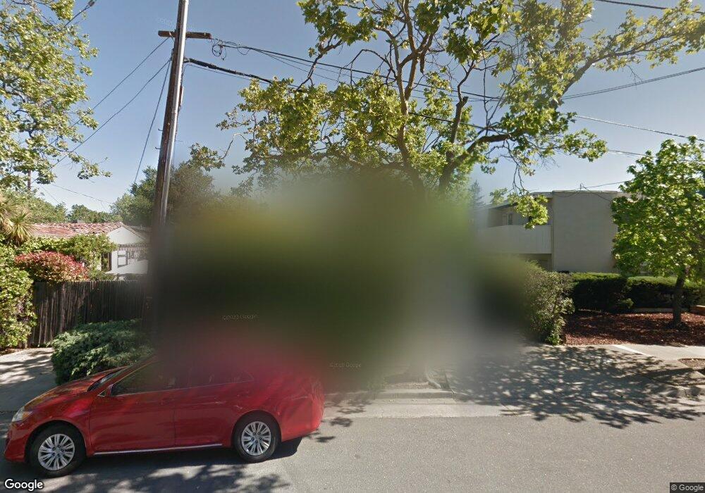
2031 Wellesley St Palo Alto, CA 94306
Estimated Value: $2,755,000 - $2,957,000
3
Beds
3
Baths
1,786
Sq Ft
$1,609/Sq Ft
Est. Value
About This Home
This home is located at 2031 Wellesley St, Palo Alto, CA 94306 and is currently estimated at $2,872,799, approximately $1,608 per square foot. 2031 Wellesley St is a home located in Santa Clara County with nearby schools including Escondido Elementary School, Frank S. Greene Jr. Middle, and Palo Alto High School.
Ownership History
Date
Name
Owned For
Owner Type
Purchase Details
Closed on
Nov 18, 1997
Sold by
Nathan Rosenthal S
Bought by
Rosenthal S N
Current Estimated Value
Home Financials for this Owner
Home Financials are based on the most recent Mortgage that was taken out on this home.
Original Mortgage
$400,000
Interest Rate
7.12%
Create a Home Valuation Report for This Property
The Home Valuation Report is an in-depth analysis detailing your home's value as well as a comparison with similar homes in the area
Home Values in the Area
Average Home Value in this Area
Purchase History
| Date | Buyer | Sale Price | Title Company |
|---|---|---|---|
| Rosenthal S N | -- | First American Title Co |
Source: Public Records
Mortgage History
| Date | Status | Borrower | Loan Amount |
|---|---|---|---|
| Closed | Rosenthal S N | $400,000 |
Source: Public Records
Tax History Compared to Growth
Tax History
| Year | Tax Paid | Tax Assessment Tax Assessment Total Assessment is a certain percentage of the fair market value that is determined by local assessors to be the total taxable value of land and additions on the property. | Land | Improvement |
|---|---|---|---|---|
| 2025 | $10,100 | $788,809 | $429,945 | $358,864 |
| 2024 | $10,100 | $773,343 | $421,515 | $351,828 |
| 2023 | $9,948 | $758,180 | $413,250 | $344,930 |
| 2022 | $9,827 | $743,315 | $405,148 | $338,167 |
| 2021 | $9,632 | $728,741 | $397,204 | $331,537 |
| 2020 | $9,446 | $721,270 | $393,132 | $328,138 |
| 2019 | $9,338 | $707,128 | $385,424 | $321,704 |
| 2018 | $9,097 | $693,264 | $377,867 | $315,397 |
| 2017 | $8,936 | $679,671 | $370,458 | $309,213 |
| 2016 | $8,698 | $666,345 | $363,195 | $303,150 |
| 2015 | $8,608 | $656,337 | $357,740 | $298,597 |
| 2014 | $8,365 | $643,481 | $350,733 | $292,748 |
Source: Public Records
Map
Nearby Homes
- 2131 Harvard St
- 1630 Portola Ave
- 425 Grant Ave Unit 19
- 410 Sheridan Ave Unit 446
- 200 Sheridan Ave Unit 304
- 200 Sheridan Ave Unit 303
- 200 Sheridan Ave Unit 103
- 200 Sheridan Ave Unit 307
- 2573 Park Blvd Unit U204
- 1932 Emerson St
- 103 Peter Coutts Cir
- 843 Sonoma Terrace
- 5 Plan at Acacia
- 4X Plan at Acacia
- 4 Plan at Acacia
- 3 Plan at Acacia
- 2A Plan at Acacia
- 2 Plan at Acacia
- 1 Plan at Acacia
- 125 Lowell Ave
- 749 Stanford Ave
- 771 Stanford Ave
- 761 Stanford Ave
- 747 Stanford Ave
- 745 Stanford Ave Unit 3
- 745 Stanford Ave Unit 2
- 745 Stanford Ave Unit 1
- 745 Stanford Ave
- 2070 Williams St
- 731 Stanford Ave
- 2054 Williams St
- 2050 Williams St
- 2052 Williams St
- 2086 Williams St
- 2040 Wellesley St
- 2030 Williams St
- 2000 Williams St
- 407 Olmsted Rd
- 411 Olmsted Rd
- 2108 Williams St