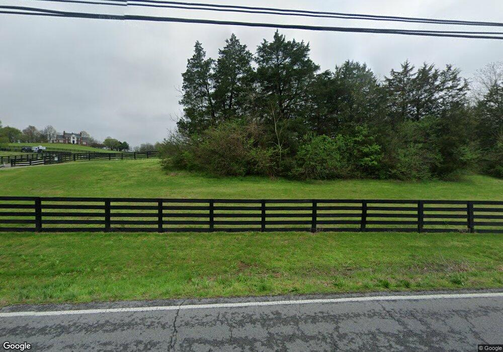
2031 Wilson Pike Franklin, TN 37067
Triune Area NeighborhoodEstimated Value: $2,204,000 - $2,764,000
--
Bed
5
Baths
5,111
Sq Ft
$509/Sq Ft
Est. Value
About This Home
This home is located at 2031 Wilson Pike, Franklin, TN 37067 and is currently estimated at $2,602,973, approximately $509 per square foot. 2031 Wilson Pike is a home located in Williamson County with nearby schools including Trinity Elementary School, Fred J. Page Middle School, and Fred J. Page High School.
Ownership History
Date
Name
Owned For
Owner Type
Purchase Details
Closed on
Jan 4, 2012
Sold by
Flautt Joseph and Waugh Hannah Flautt
Bought by
Coakley Sean P and Coakley Monica M
Current Estimated Value
Purchase Details
Closed on
Oct 13, 2011
Sold by
Anderson James C and Anderson Josephine L
Bought by
Coakley Monica and Coakley Sean
Home Financials for this Owner
Home Financials are based on the most recent Mortgage that was taken out on this home.
Original Mortgage
$417,000
Interest Rate
4.2%
Mortgage Type
New Conventional
Create a Home Valuation Report for This Property
The Home Valuation Report is an in-depth analysis detailing your home's value as well as a comparison with similar homes in the area
Home Values in the Area
Average Home Value in this Area
Purchase History
| Date | Buyer | Sale Price | Title Company |
|---|---|---|---|
| Coakley Sean P | $295,000 | Stewart Title Company | |
| Coakley Monica | $1,070,000 | Stewart Title Company Tn Div |
Source: Public Records
Mortgage History
| Date | Status | Borrower | Loan Amount |
|---|---|---|---|
| Previous Owner | Coakley Monica | $417,000 |
Source: Public Records
Tax History Compared to Growth
Tax History
| Year | Tax Paid | Tax Assessment Tax Assessment Total Assessment is a certain percentage of the fair market value that is determined by local assessors to be the total taxable value of land and additions on the property. | Land | Improvement |
|---|---|---|---|---|
| 2024 | $7,032 | $374,050 | $100,700 | $273,350 |
| 2023 | $7,032 | $374,050 | $100,700 | $273,350 |
| 2022 | $7,032 | $374,050 | $100,700 | $273,350 |
| 2021 | $7,032 | $374,050 | $100,700 | $273,350 |
| 2020 | $6,772 | $305,025 | $67,125 | $237,900 |
| 2019 | $6,772 | $305,025 | $67,125 | $237,900 |
| 2018 | $6,558 | $305,025 | $67,125 | $237,900 |
| 2017 | $6,558 | $305,025 | $67,125 | $237,900 |
| 2016 | $6,558 | $305,025 | $67,125 | $237,900 |
| 2015 | -- | $234,800 | $51,625 | $183,175 |
| 2014 | -- | $234,800 | $51,625 | $183,175 |
Source: Public Records
Map
Nearby Homes
- 1006 Dovecrest Way
- 1820 Lanceford Ct
- 4165 Clovercroft Rd
- 1607 Sand Dollar Ct
- 1055 Amelia Park Dr
- 0 Lasata Unit RTC2787689
- 1068 Amelia Park Dr
- 1132 Amelia Park Dr
- 1029 Watkins Creek Dr
- 4160 Clovercroft Rd
- 6001 Poplar Farms Dr
- 2085 Wilson Pike
- 5049 Poplar Farms Dr
- 5043 Poplar Farms Dr
- 5037 Poplar Farms Dr
- 1407 Hanson Dr
- 5031 Poplar Farms Dr
- 5025 Poplar Farms Dr
- 7037 Chardon St
- 7043 Chardon St
- 2027 Wilson Pike
- 2039 Wilson Pike
- 2035 Wilson Pike
- 3801 N Chapel Rd
- 3795 N Chapel Rd
- 3815 N Chapel Rd
- 2041 Wilson Pike
- 2017 Wilson Pike
- 7024 Farmhouse Dr
- 7013 Farmhouse Dr
- 7013 Farmhouse Dr
- 7018 Farmhouse Dr
- 2009 Wilson Pike
- 3057 Nolencrest Way
- 3057 Nolencrest Way
- 7007 Farmhouse Dr
- 7012 Farmhouse Dr
- 3051 Nolencrest Way
- 3063 Nolencrest Way
- 3064 Cecil Lewis Dr
