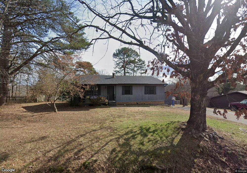
2033 Millard Rd Soddy Daisy, TN 37379
Estimated Value: $186,000 - $284,000
--
Bed
--
Bath
1,232
Sq Ft
$199/Sq Ft
Est. Value
About This Home
This home is located at 2033 Millard Rd, Soddy Daisy, TN 37379 and is currently estimated at $245,550, approximately $199 per square foot. 2033 Millard Rd is a home located in Hamilton County with nearby schools including Loftis Middle School.
Ownership History
Date
Name
Owned For
Owner Type
Purchase Details
Closed on
Jun 12, 2025
Sold by
Spletzer Martha L and Spletzer Harold J
Bought by
Spletzer Harold J
Current Estimated Value
Purchase Details
Closed on
Oct 30, 2020
Sold by
Spletzer Harold J and Spletzer Martha L
Bought by
Spletzer Harold J and Spletzer Martha L
Home Financials for this Owner
Home Financials are based on the most recent Mortgage that was taken out on this home.
Original Mortgage
$88,000
Interest Rate
2.9%
Mortgage Type
New Conventional
Create a Home Valuation Report for This Property
The Home Valuation Report is an in-depth analysis detailing your home's value as well as a comparison with similar homes in the area
Home Values in the Area
Average Home Value in this Area
Purchase History
| Date | Buyer | Sale Price | Title Company |
|---|---|---|---|
| Spletzer Harold J | -- | None Listed On Document | |
| Spletzer Harold J | -- | None Listed On Document | |
| Spletzer Harold J | -- | Lakeside Title & Escrow Llc |
Source: Public Records
Mortgage History
| Date | Status | Borrower | Loan Amount |
|---|---|---|---|
| Previous Owner | Spletzer Harold J | $88,000 |
Source: Public Records
Tax History Compared to Growth
Tax History
| Year | Tax Paid | Tax Assessment Tax Assessment Total Assessment is a certain percentage of the fair market value that is determined by local assessors to be the total taxable value of land and additions on the property. | Land | Improvement |
|---|---|---|---|---|
| 2024 | $763 | $34,125 | $0 | $0 |
| 2023 | $772 | $34,125 | $0 | $0 |
| 2022 | $772 | $34,125 | $0 | $0 |
| 2021 | $772 | $34,125 | $0 | $0 |
| 2020 | $693 | $24,725 | $0 | $0 |
| 2019 | $693 | $24,725 | $0 | $0 |
| 2018 | $693 | $24,725 | $0 | $0 |
| 2017 | $693 | $24,725 | $0 | $0 |
| 2016 | $625 | $0 | $0 | $0 |
| 2015 | $625 | $22,275 | $0 | $0 |
| 2014 | $625 | $0 | $0 | $0 |
Source: Public Records
Map
Nearby Homes
- 2031 Millard Rd
- 2109 Millard Rd
- 1818 Millard Rd
- 9429 Hackberry Ln
- 11111 Hixson Pike
- 1848 Coffee Tree Ln
- 1818 Short Leaf Ln
- 2228 Lakesite Dr
- 2119 Collins Ln
- 1724 Magnum Ln
- 2316 Lakesite Dr
- 9802 Shoreline Heights Dr
- 21362124 Short Leaf Ln
- 21182112 Short Leaf Ln
- 2136+2124 Short Leaf Ln
- 1601 Short Leaf Ln
- 1733 Short Leaf Ln
- 2118+2112 Short Leaf Ln
- 1915 Port Royal Dr
- 8900 Wellthor Cir
- 2031 Millard Rd
- 2031 Millard Rd Unit 133
- 2037 Millard Rd
- 2106 N Fork Dr
- 2911 Millard Rd
- 9501 Glenda Ln
- 2041 Millard Rd
- 9503 Glenda Ln
- 2111 Millard Rd
- 2025 Bice Rd
- 2025 Bice Rd Unit 133
- 2105 N Fork Dr
- 2045 Millard Rd
- 2045 Millard Rd Unit 133
- 2045 Millard Rd Unit 4
- 211 Glenda Ln
- 2024 Millard Rd
- 2107 N Fork Dr
- 9500 Glenda Ln
- 2023 Bice Rd