2033 Old Dial Rd Morganton, GA 30560
Estimated Value: $740,441 - $938,000
2
Beds
2
Baths
1,960
Sq Ft
$444/Sq Ft
Est. Value
About This Home
This home is located at 2033 Old Dial Rd, Morganton, GA 30560 and is currently estimated at $870,610, approximately $444 per square foot. 2033 Old Dial Rd is a home located in Fannin County with nearby schools including Fannin County High School.
Ownership History
Date
Name
Owned For
Owner Type
Purchase Details
Closed on
Jan 22, 2016
Sold by
Ferer Barbara J
Bought by
Godbold Alton Landy and Godbold Nancy P
Current Estimated Value
Purchase Details
Closed on
Aug 24, 1998
Sold by
Stewart Norman G
Bought by
Woods Wendell D
Purchase Details
Closed on
Sep 30, 1992
Sold by
Stewart Norman G
Bought by
Stewart Norman G
Purchase Details
Closed on
Nov 8, 1985
Bought by
Stewart Norman G
Create a Home Valuation Report for This Property
The Home Valuation Report is an in-depth analysis detailing your home's value as well as a comparison with similar homes in the area
Home Values in the Area
Average Home Value in this Area
Purchase History
| Date | Buyer | Sale Price | Title Company |
|---|---|---|---|
| Godbold Alton Landy | $299,888 | -- | |
| Woods Wendell D | $135,500 | -- | |
| Stewart Norman G | -- | -- | |
| Stewart Norman G | -- | -- |
Source: Public Records
Tax History
| Year | Tax Paid | Tax Assessment Tax Assessment Total Assessment is a certain percentage of the fair market value that is determined by local assessors to be the total taxable value of land and additions on the property. | Land | Improvement |
|---|---|---|---|---|
| 2025 | $2,971 | $327,438 | $35,544 | $291,894 |
| 2024 | $30 | $327,438 | $35,544 | $291,894 |
| 2023 | $2,677 | $262,570 | $35,544 | $227,026 |
| 2022 | $2,721 | $266,923 | $35,544 | $231,379 |
| 2021 | $2,012 | $143,504 | $35,544 | $107,960 |
| 2020 | $2,045 | $143,504 | $35,544 | $107,960 |
| 2019 | $2,085 | $143,504 | $35,544 | $107,960 |
| 2018 | $1,925 | $124,974 | $17,014 | $107,960 |
| 2016 | $2,102 | $123,761 | $17,014 | $106,747 |
| 2015 | $1,170 | $124,982 | $17,014 | $107,969 |
| 2014 | $1,221 | $122,340 | $23,747 | $98,593 |
| 2013 | -- | $96,647 | $23,746 | $72,900 |
Source: Public Records
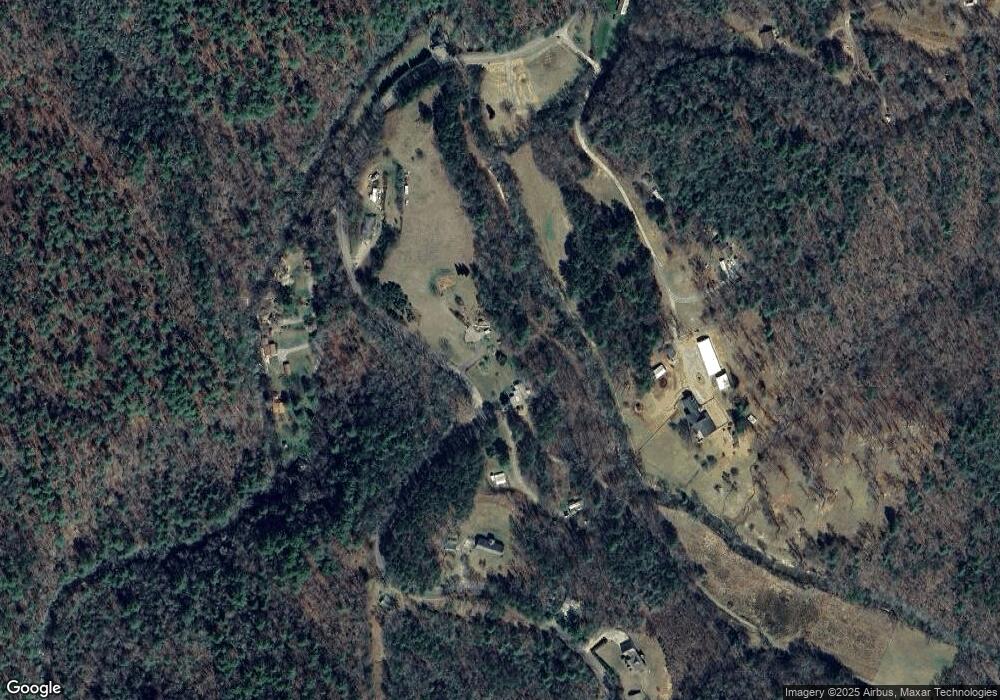
Map
Nearby Homes
- 2351 Old Dial Rd
- 79 Stewart Ln
- 571 Misty Mountain Trail
- 185 Mountain Rd
- 335 Mountain Rd
- 8 Mountain Rd
- 4 Mountain Rd
- 558 Tipton Springs Rd
- 161 Old Dial Rd
- 2.24 AC Lower Star Creek Rd
- 128 Overlake Ct
- 14576 Morganton Hwy
- 721 Lower Star Creek Rd
- 770 Fish Hook Point
- 670 Magnolia Dr
- 365 Lower Star Creek Rd
- 16894 Morganton Hwy
- 18131 Morganton Hwy
- 75 Stewart Ln
- 75 Stewart Ln
- 256 Stewart Ln
- LOT 4 Wilscot Winds
- 2303 Old Dial Rd
- 136 Wilscot Ln
- 1935 Old Dial Rd
- 38 Wilscott Ln
- 0 Wilscot Ln Unit 7188686
- 0 Wilscot Ln
- 56 Wilscott Ln
- 136 Wilscott Ln
- 90 Wilscott Ln
- 169 Stewart Ln
- 163 Shepherds Walk
- 163 Shepherds Walk
- 3.3AC Stewart Ln
- 42 Wilscot Ln
- 1904 Old Dial Rd
- 1800 Old Dial Rd
Your Personal Tour Guide
Ask me questions while you tour the home.