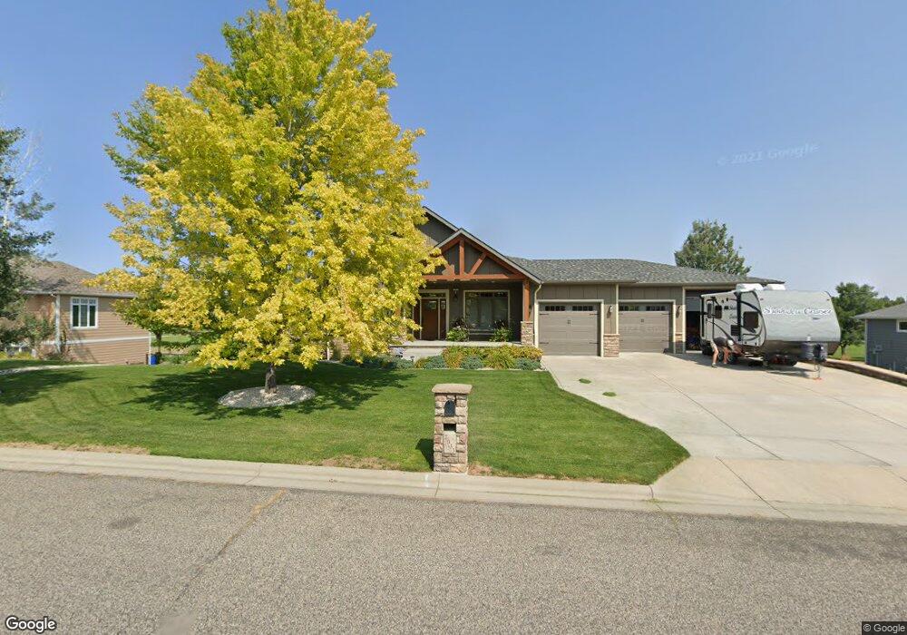
2033 Wentworth Dr Billings, MT 59105
Billings Heights NeighborhoodEstimated Value: $480,000 - $737,865
4
Beds
3
Baths
2,245
Sq Ft
$284/Sq Ft
Est. Value
About This Home
This home is located at 2033 Wentworth Dr, Billings, MT 59105 and is currently estimated at $637,966, approximately $284 per square foot. 2033 Wentworth Dr is a home with nearby schools including Sandstone School, Castle Rock Junior High School, and Skyview High School.
Ownership History
Date
Name
Owned For
Owner Type
Purchase Details
Closed on
Dec 20, 2006
Sold by
Quade Garth W and Quade Jilln A
Bought by
Keeling Janell
Current Estimated Value
Purchase Details
Closed on
May 31, 2005
Sold by
Skinner Keith J and Skinner Lindas R
Bought by
Quade Garth W and Quade Jill A
Home Financials for this Owner
Home Financials are based on the most recent Mortgage that was taken out on this home.
Original Mortgage
$40,000
Interest Rate
5.74%
Mortgage Type
Future Advance Clause Open End Mortgage
Create a Home Valuation Report for This Property
The Home Valuation Report is an in-depth analysis detailing your home's value as well as a comparison with similar homes in the area
Home Values in the Area
Average Home Value in this Area
Purchase History
| Date | Buyer | Sale Price | Title Company |
|---|---|---|---|
| Keeling Janell | -- | None Available | |
| Quade Garth W | -- | None Available |
Source: Public Records
Mortgage History
| Date | Status | Borrower | Loan Amount |
|---|---|---|---|
| Previous Owner | Quade Garth W | $40,000 |
Source: Public Records
Tax History Compared to Growth
Tax History
| Year | Tax Paid | Tax Assessment Tax Assessment Total Assessment is a certain percentage of the fair market value that is determined by local assessors to be the total taxable value of land and additions on the property. | Land | Improvement |
|---|---|---|---|---|
| 2025 | $6,848 | $706,300 | $110,671 | $595,629 |
| 2024 | $6,848 | $675,300 | $104,310 | $570,990 |
| 2023 | $6,826 | $675,300 | $104,310 | $570,990 |
| 2022 | $5,778 | $498,200 | $0 | $0 |
| 2021 | $5,460 | $498,200 | $0 | $0 |
| 2020 | $5,529 | $483,400 | $0 | $0 |
| 2019 | $5,288 | $483,400 | $0 | $0 |
| 2018 | $5,275 | $473,700 | $0 | $0 |
| 2017 | $4,385 | $473,700 | $0 | $0 |
| 2016 | $4,799 | $446,000 | $0 | $0 |
| 2015 | $4,700 | $446,000 | $0 | $0 |
| 2014 | $4,744 | $240,675 | $0 | $0 |
Source: Public Records
Map
Nearby Homes
- 2164 Greenbriar Rd
- Lot 1, Block 1 Greenbriar Rd
- 2043 Cypress Point
- 00 Winged Foot Drive Lot 10
- 0 Winged Foot Dr
- 2115 Saint Andrews Dr
- 00
- 0 Greenbriar Rd
- 0 Clubhouse Way
- LOT 3 Clubhouse Way
- LOT 4 Clubhouse Way
- 2049 Saint Andrews Dr
- 2032 Clubhouse Way
- 2029 Ridgeview Dr
- 0 Greenbriar Block 12 Lot 5 Rd Unit 352965
- 2435 Lake Heights Dr
- 2143 Interlachen Dr
- 1949 St Andrews Dr
- 418 Montecito Ave
- 650 Pinehurst Rd
- 2031 Wentworth Dr
- 2037 Wentworth Dr
- 2030 Wentworth Dr
- 2036 Wentworth Dr
- 2026 Wentworth Dr
- 2025 Wentworth Dr
- 2101 Wentworth Dr
- 359 Tamarisk Dr
- 354 Tamarisk Dr
- 2020 Wentworth Dr
- 2021 Wentworth Dr
- 360 Tamarisk Dr
- 2105 Wentworth Dr
- 401 Tamarisk Dr
- 407 Tamarisk Dr
- 400 Tamarisk Dr
- 2017 Wentworth Dr
- 2202 W Skokie Dr
- 2109 Wentworth Dr
- 2018 Wentworth Dr