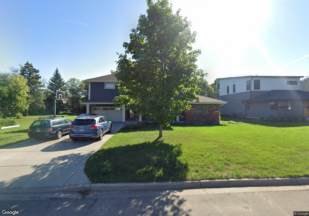
2034 Asbury St Saint Paul, MN 55113
Roselawn NeighborhoodEstimated Value: $413,000 - $682,000
4
Beds
3
Baths
2,487
Sq Ft
$238/Sq Ft
Est. Value
About This Home
This home is located at 2034 Asbury St, Saint Paul, MN 55113 and is currently estimated at $590,862, approximately $237 per square foot. 2034 Asbury St is a home located in Ramsey County with nearby schools including Falcon Heights Elementary, Roseville Area Middle School, and Roseville Area Senior High School.
Ownership History
Date
Name
Owned For
Owner Type
Purchase Details
Closed on
Jun 19, 2020
Sold by
Crump Phillip J and Kessee Crump Lashonda
Bought by
Crump Phillip J and Kessee Crump Lashonda
Current Estimated Value
Home Financials for this Owner
Home Financials are based on the most recent Mortgage that was taken out on this home.
Original Mortgage
$370,800
Outstanding Balance
$328,686
Interest Rate
3.2%
Mortgage Type
New Conventional
Estimated Equity
$262,176
Purchase Details
Closed on
Jan 19, 1996
Sold by
Fleming John M
Bought by
Crump Phillip J
Create a Home Valuation Report for This Property
The Home Valuation Report is an in-depth analysis detailing your home's value as well as a comparison with similar homes in the area
Home Values in the Area
Average Home Value in this Area
Purchase History
| Date | Buyer | Sale Price | Title Company |
|---|---|---|---|
| Crump Phillip J | -- | Dca Title | |
| Crump Phillip J | $110,000 | -- |
Source: Public Records
Mortgage History
| Date | Status | Borrower | Loan Amount |
|---|---|---|---|
| Open | Crump Phillip J | $370,800 |
Source: Public Records
Tax History Compared to Growth
Tax History
| Year | Tax Paid | Tax Assessment Tax Assessment Total Assessment is a certain percentage of the fair market value that is determined by local assessors to be the total taxable value of land and additions on the property. | Land | Improvement |
|---|---|---|---|---|
| 2025 | $7,782 | $599,600 | $84,000 | $515,600 |
| 2023 | $7,782 | $544,800 | $76,000 | $468,800 |
| 2022 | $6,574 | $488,000 | $76,000 | $412,000 |
| 2021 | $6,304 | $437,200 | $76,000 | $361,200 |
| 2020 | $5,820 | $442,700 | $68,000 | $374,700 |
| 2019 | $5,932 | $389,300 | $68,000 | $321,300 |
| 2018 | $5,718 | $386,400 | $64,900 | $321,500 |
| 2017 | $5,648 | $364,700 | $64,900 | $299,800 |
| 2016 | $5,130 | $0 | $0 | $0 |
| 2015 | $2,482 | $344,700 | $55,000 | $289,700 |
| 2014 | $2,292 | $0 | $0 | $0 |
Source: Public Records
Map
Nearby Homes
- 1455 Shryer Ave W
- 1446 Shryer Ave W
- 1620 County Road B W
- 1624 County Road B W
- 57X Roselawn Ave W
- 1690 Highway 36 W Unit 216
- 1265 Shryer Ave W
- 1776 Saint Marys St
- 1836 Hamline Ave N
- 692 Skillman Ave W
- 1150 Summer St
- 1116 Roselawn Ave W
- 1986 Sharondale Ave
- 1609 Huron St
- 1615 Chelsea St
- 1031 Ryan Ave W
- 1544 Asbury St
- 204X Eldridge Ave W
- 1075 Sherren St W
- 2044 Eldridge Ave W
- 2026 Asbury St
- 2020 Asbury St
- 2033 Asbury St
- 2025 Asbury St
- 2008 Asbury St
- 2021 Asbury St
- 2030 Snelling Ave N
- 2009 Asbury St
- 2026 Snelling Ave N
- 2000 Asbury St
- 2020 Snelling Ave N
- 2001 Asbury St
- 2012 Snelling Ave N
- 1994 Asbury St
- 2010 Snelling Ave N
- 1995 Asbury St
- 2000 Snelling Ave N
- 1986 Asbury St
- 1987 Asbury St
- 1992 Snelling Ave N