2034 Norman Way Hamilton, MT 59840
Estimated Value: $1,100,290
3
Beds
5
Baths
2,125
Sq Ft
$518/Sq Ft
Est. Value
About This Home
This home is located at 2034 Norman Way, Hamilton, MT 59840 and is currently estimated at $1,100,290, approximately $517 per square foot. 2034 Norman Way is a home located in Ravalli County with nearby schools including Darby Elementary School and Darby High School.
Ownership History
Date
Name
Owned For
Owner Type
Purchase Details
Closed on
May 6, 2021
Sold by
Nickles Craig A
Bought by
Nickles Family Trust
Current Estimated Value
Purchase Details
Closed on
Aug 31, 2017
Sold by
Odegard David W
Bought by
Nickles Craig A and Nickles Sandra L
Home Financials for this Owner
Home Financials are based on the most recent Mortgage that was taken out on this home.
Original Mortgage
$416,000
Interest Rate
3.96%
Mortgage Type
New Conventional
Purchase Details
Closed on
Dec 30, 2002
Bought by
Odegard David W and May Jodie L
Create a Home Valuation Report for This Property
The Home Valuation Report is an in-depth analysis detailing your home's value as well as a comparison with similar homes in the area
Home Values in the Area
Average Home Value in this Area
Purchase History
| Date | Buyer | Sale Price | Title Company |
|---|---|---|---|
| Nickles Family Trust | -- | None Listed On Document | |
| Nickles Craig A | $520,000 | First American Title | |
| Odegard David W | -- | -- |
Source: Public Records
Mortgage History
| Date | Status | Borrower | Loan Amount |
|---|---|---|---|
| Previous Owner | Nickles Craig A | $416,000 |
Source: Public Records
Tax History Compared to Growth
Tax History
| Year | Tax Paid | Tax Assessment Tax Assessment Total Assessment is a certain percentage of the fair market value that is determined by local assessors to be the total taxable value of land and additions on the property. | Land | Improvement |
|---|---|---|---|---|
| 2025 | $1,707 | $559,335 | $0 | $0 |
| 2024 | $2,425 | $509,993 | $0 | $0 |
| 2023 | $2,395 | $509,993 | $0 | $0 |
| 2022 | $2,038 | $381,367 | $0 | $0 |
| 2021 | $2,205 | $381,367 | $0 | $0 |
| 2020 | $2,361 | $393,665 | $0 | $0 |
| 2019 | $2,327 | $393,665 | $0 | $0 |
| 2018 | $2,155 | $345,406 | $0 | $0 |
| 2017 | $1,392 | $227,606 | $0 | $0 |
| 2016 | $1,392 | $220,857 | $0 | $0 |
| 2015 | $1,389 | $220,857 | $0 | $0 |
| 2014 | $1,136 | $106,895 | $0 | $0 |
Source: Public Records
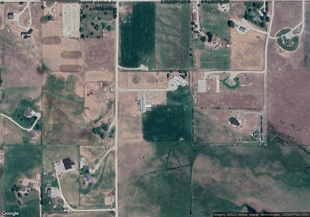
Map
Nearby Homes
- 505 Camas Creek Loop
- NHN Trout Ln
- 229 Camas Creek Loop
- 349 Harlan Creek Rd
- 459 Hayes Creek Rd
- 2133 Lost Horse Trail
- 456 Blue Jay Ln
- 438 Blue Jay Ln
- 24 Russell Dr
- 246 Otter Path Ln
- 560 Hayes Creek Rd
- 643 Gold Creek Loop
- 511 Gold Creek Loop
- 1798 Rocky Top Rd
- 121 Camas Ranch Rd
- 1977 Rocky Top Rd
- 3408 Whiskey Jack Ln
- 1310 Sleeping Child Rd
- 257 N Gold Creek Loop
- 545 Whispering Pines Rd
- 2034 Norman Way
- 2012 Norman Way
- 2033 Norman Way
- 2059 Norman Way
- 2049 Como Peaks
- 2011 Norman Way
- 209 Cooper Loop
- 321 Cooper Loop
- 216 Cooper Loop
- 191 Cooper Loop
- 255 Cooper Loop
- 246 Cooper Loop
- 0 Como Peak
- 234 Forest Hill Rd
- 204 Cooper Loop
- 173 Cooper Loop
- 297 Cooper Loop
- 236 Cooper Loop
- 347 Cooper Loop
- 205 Cooper Ln