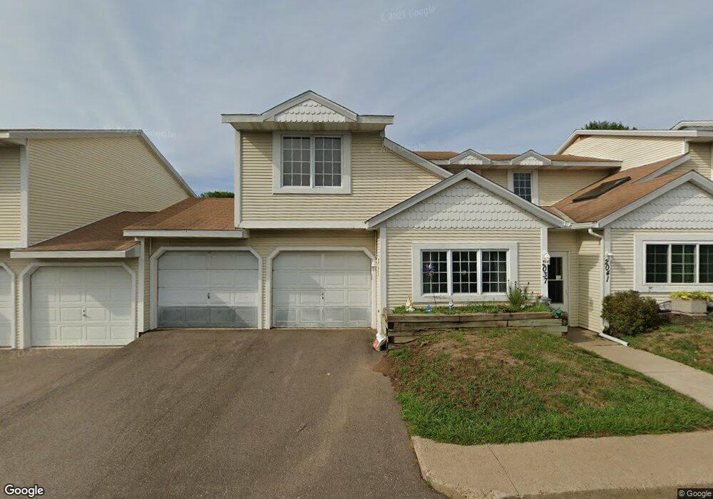
2035 Creekside Way Saint Paul, MN 55119
Battle Creek NeighborhoodEstimated Value: $197,000 - $208,000
3
Beds
2
Baths
1,272
Sq Ft
$160/Sq Ft
Est. Value
About This Home
This home is located at 2035 Creekside Way, Saint Paul, MN 55119 and is currently estimated at $203,395, approximately $159 per square foot. 2035 Creekside Way is a home located in Ramsey County with nearby schools including Battle Creek Elementary School, Battle Creek Middle School, and Harding Senior High School.
Ownership History
Date
Name
Owned For
Owner Type
Purchase Details
Closed on
Mar 9, 2018
Sold by
Ahmed Amal F
Bought by
Ahmed Amal F and Ahmed Kareem
Current Estimated Value
Home Financials for this Owner
Home Financials are based on the most recent Mortgage that was taken out on this home.
Original Mortgage
$65,000
Interest Rate
4.4%
Purchase Details
Closed on
Jul 15, 2009
Sold by
Chaidez Manuel Reyes and Chaidez Luz Nereyda Reyes
Bought by
Oyesanmi Ejovwokeoghene
Purchase Details
Closed on
Oct 23, 2003
Sold by
Pearson Thomas E and Pearson Cynthia J
Bought by
Rubio Barbara A
Purchase Details
Closed on
Nov 16, 1998
Sold by
Demike Donna J and Demike Dennis P
Bought by
Mccoy Cynthia J
Create a Home Valuation Report for This Property
The Home Valuation Report is an in-depth analysis detailing your home's value as well as a comparison with similar homes in the area
Home Values in the Area
Average Home Value in this Area
Purchase History
| Date | Buyer | Sale Price | Title Company |
|---|---|---|---|
| Ahmed Amal F | -- | Premier Title Ins Agcy Inc | |
| Ahmed Amal F | $121,000 | Premier Title Oins Agcy Inc | |
| Oyesanmi Ejovwokeoghene | $89,500 | -- | |
| Rubio Barbara A | $152,000 | -- | |
| Mccoy Cynthia J | $80,500 | -- |
Source: Public Records
Mortgage History
| Date | Status | Borrower | Loan Amount |
|---|---|---|---|
| Previous Owner | Ahmed Amal F | $65,000 |
Source: Public Records
Tax History
| Year | Tax Paid | Tax Assessment Tax Assessment Total Assessment is a certain percentage of the fair market value that is determined by local assessors to be the total taxable value of land and additions on the property. | Land | Improvement |
|---|---|---|---|---|
| 2025 | $2,508 | $178,300 | $30,000 | $148,300 |
| 2023 | $2,508 | $171,900 | $30,000 | $141,900 |
| 2022 | $2,040 | $161,800 | $30,000 | $131,800 |
| 2021 | $1,846 | $145,200 | $30,000 | $115,200 |
| 2020 | $1,656 | $137,800 | $30,000 | $107,800 |
| 2019 | $1,668 | $119,800 | $15,800 | $104,000 |
| 2018 | $1,906 | $114,100 | $15,800 | $98,300 |
| 2017 | $1,790 | $103,700 | $15,800 | $87,900 |
| 2016 | $1,130 | $0 | $0 | $0 |
| 2015 | $1,160 | $84,500 | $15,800 | $68,700 |
| 2014 | $1,394 | $0 | $0 | $0 |
Source: Public Records
Map
Nearby Homes
- 2076 Pathways Dr Unit 1
- 192 Bridlewood Dr
- 120 Ruth St N Unit 1
- 2063 N Park Dr Unit 6
- 2023 Parkside Dr
- 2112 Suburban Ave
- 70 W Sandra Lee Dr
- 1918 Upper Afton Rd E
- 1883 Garden Way
- 2196 Howard Ct
- 2029 Conway St
- 2243 Edgebrook Ave
- 2169 Glenridge Ave
- 2138 3rd St E
- 442 White Bear Ave N
- 1935 Fremont Ave E
- 1641 Leone Ave
- 2186 4th St E
- TBD Kennard St
- 1924 5th St E
- 0 Creekside Way
- 2039 Creekside Way
- 2029 Creekside Way
- 2038 Pathways Dr
- 2043 Creekside Way
- 2025 Creekside Way
- 2042 Pathways Dr
- 2032 Pathways Dr
- 0 Pathways Dr
- 2036 Creekside Way
- 2040 Creekside Way
- 2028 Pathways Dr
- 2046 Pathways Dr
- 2030 Creekside Way
- 2044 Creekside Way
- 2021 Creekside Way
- 2026 Creekside Way
- 2024 2024 Pathways-Drive-
- 2024 Pathways Dr
- 2022 Creekside Way
Your Personal Tour Guide
Ask me questions while you tour the home.