20350 SE MacK Dairy Rd Jupiter, FL 33478
Estimated Value: $3,877,000 - $6,105,975
5
Beds
6
Baths
6,814
Sq Ft
$655/Sq Ft
Est. Value
About This Home
This home is located at 20350 SE MacK Dairy Rd, Jupiter, FL 33478 and is currently estimated at $4,460,744, approximately $654 per square foot. 20350 SE MacK Dairy Rd is a home located in Martin County with nearby schools including Crystal Lake Elementary School, Dr. David L. Anderson Middle School, and South Fork High School.
Ownership History
Date
Name
Owned For
Owner Type
Purchase Details
Closed on
Dec 23, 2011
Sold by
Theissen Frank J
Bought by
Rankin David and Rankin Cameo D
Current Estimated Value
Home Financials for this Owner
Home Financials are based on the most recent Mortgage that was taken out on this home.
Original Mortgage
$1,147,500
Outstanding Balance
$786,850
Interest Rate
4.06%
Estimated Equity
$3,673,894
Purchase Details
Closed on
Oct 1, 1985
Bought by
Rankin David and Rankin Cameo D
Create a Home Valuation Report for This Property
The Home Valuation Report is an in-depth analysis detailing your home's value as well as a comparison with similar homes in the area
Home Values in the Area
Average Home Value in this Area
Purchase History
| Date | Buyer | Sale Price | Title Company |
|---|---|---|---|
| Rankin David | $1,350,000 | Cove Title | |
| Rankin David | $214,000 | -- |
Source: Public Records
Mortgage History
| Date | Status | Borrower | Loan Amount |
|---|---|---|---|
| Open | Rankin David | $1,147,500 |
Source: Public Records
Tax History Compared to Growth
Tax History
| Year | Tax Paid | Tax Assessment Tax Assessment Total Assessment is a certain percentage of the fair market value that is determined by local assessors to be the total taxable value of land and additions on the property. | Land | Improvement |
|---|---|---|---|---|
| 2025 | $26,808 | $1,696,474 | -- | -- |
| 2024 | $26,376 | $1,648,663 | -- | -- |
| 2023 | $26,376 | $1,599,264 | $0 | $0 |
| 2022 | $25,532 | $1,552,684 | $0 | $0 |
| 2021 | $25,760 | $1,507,461 | $0 | $0 |
| 2020 | $25,541 | $1,486,648 | $0 | $0 |
| 2019 | $22,924 | $1,320,537 | $0 | $0 |
| 2018 | $19,621 | $1,139,109 | $0 | $0 |
| 2017 | $16,210 | $1,010,165 | $0 | $0 |
| 2016 | $16,394 | $1,003,065 | $0 | $0 |
| 2015 | $15,372 | $976,595 | $0 | $0 |
| 2014 | $15,372 | $958,421 | $0 | $0 |
Source: Public Records
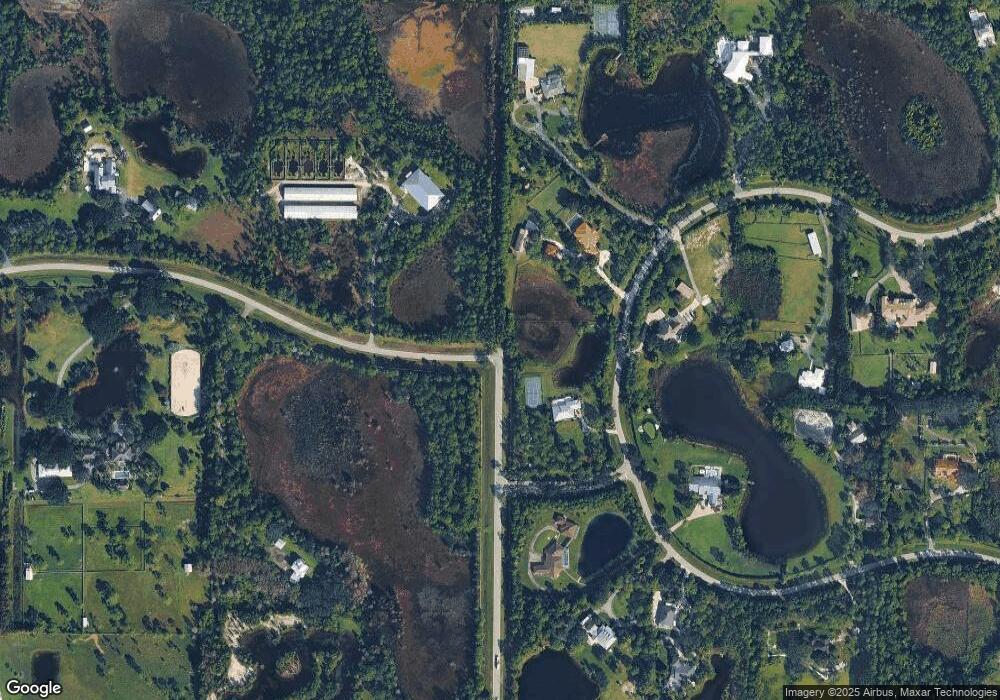
Map
Nearby Homes
- 20000 SE MacK Dairy Rd
- 12275 185th St N
- 12456 185th St N
- 12818 Old Indiantown Rd
- 1488 SE Colony Way
- 18369 Mellen Ln
- 7160 Mellen Ln N
- 18420 128th Trail N
- 18238 128th Trail N
- 18055 126th Terrace N
- 18398 131st Trail N
- 18851 SE MacK Dairy Rd
- 18395 131st Trail N
- 11075 Indiantown Rd Unit 6
- 18047 131st Trail N
- 3551 SE Tailwinds Rd
- 1901 SE Ranch Rd
- 17593 Winterhawk
- 3120 SE Downwinds Rd
- 17647 112th Dr N
- 12079 189th Ct N
- 12037 189th Ct N
- 12111 189th Ct N
- Xxx 189th Ct N
- 18910 120th Terrace N
- 18899 120th Terrace N
- 12104 189th Ct N
- 12183 189th Ct N
- 12132 189th Ct N
- 12132 189th Ct N Unit JUPITE
- 12160 189th Ct N
- 18856 120th Terrace N
- 12200 189th Ct N
- 12192 189th Ct N
- 12077 188th St N
- 12101 188th St N
- 12216 189th Ct N
- 12131 188th St N
- 1210 SE Colony Way
- 12206 188th St N