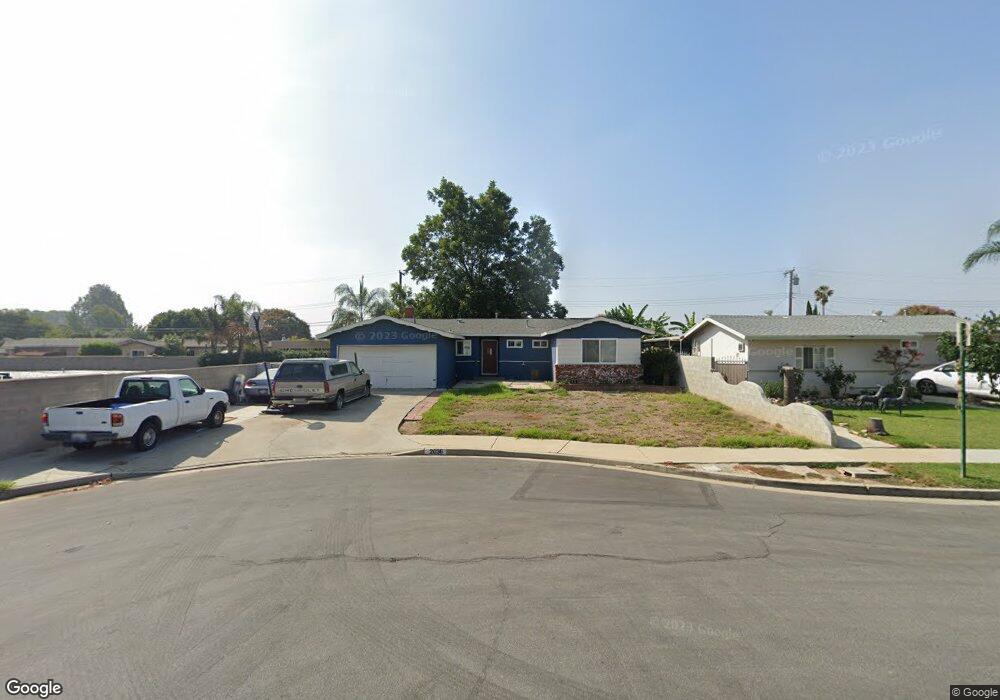
2036 12th St La Verne, CA 91750
Old Town NeighborhoodEstimated Value: $716,000 - $814,000
About This Home
This home is located at 2036 12th St, La Verne, CA 91750 and is currently estimated at $776,944, approximately $613 per square foot. 2036 12th St is a home located in Los Angeles County with nearby schools including J. Marion Roynon Elementary School, Ramona Middle School, and Bonita High School.
Ownership History
We collect this data history from publicly available records. To have your information removed, we recommend requesting removal directly through your county’s website.
Purchase Details
Home Financials for this Owner
Home Financials are based on the most recent Mortgage that was taken out on this home.Purchase Details
Home Values in the Area
Average Home Value in this Area
Purchase History
We collect this data history from publicly available records. To have your information removed, we recommend requesting removal directly through your county’s website.
| Date | Buyer | Sale Price | Title Company |
|---|---|---|---|
| $130,000 | Gateway Title | ||
| $133,399 | Stewart Title |
Mortgage History
We collect this data history from publicly available records. To have your information removed, we recommend requesting removal directly through your county’s website.
| Date | Status | Borrower | Loan Amount |
|---|---|---|---|
| Closed | $126,100 |
Tax History
We collect this data history from publicly available records. To have your information removed, we recommend requesting removal directly through your county’s website.
| Year | Tax Paid | Tax Assessment Tax Assessment Total Assessment is a certain percentage of the fair market value that is determined by local assessors to be the total taxable value of land and additions on the property. | Land | Improvement |
|---|---|---|---|---|
| 2025 | $8,410 | $218,332 | $114,039 | $104,293 |
| 2024 | $8,294 | $214,052 | $111,803 | $102,249 |
| 2023 | $8,233 | $209,856 | $109,611 | $100,245 |
| 2022 | $8,185 | $205,742 | $107,462 | $98,280 |
| 2021 | $8,129 | $201,708 | $105,355 | $96,353 |
| 2019 | $8,032 | $195,728 | $102,231 | $93,497 |
| 2018 | $7,860 | $191,891 | $100,227 | $91,664 |
| 2016 | $3,916 | $184,441 | $96,336 | $88,105 |
| 2015 | $3,888 | $181,671 | $94,889 | $86,782 |
| 2014 | $2,247 | $178,114 | $93,031 | $85,083 |
Map
- 1946 Canopy Ln
- 2302 8th St
- 1975 5th St
- 2366 8th St
- 3041 Knollwood Ave
- 3003 Knollwood Ave Unit 2
- 3502 Towne Center Dr
- 2506 Hayes Dr
- 2524 Price Dr
- 4095 Fruit St Unit 843
- 4095 Fruit St Unit Spc 328
- 4095 Fruit St Unit 303
- 4257 Emerald Ave
- 4265 Emerald Ave
- 2382 Bonita Ave
- 1425 Ancona Dr
- 3832 Bixby Dr
- 2633 I St
- 4308 Emerald Ave
- 2567 Hayes Dr
Ask me questions while you tour the home.