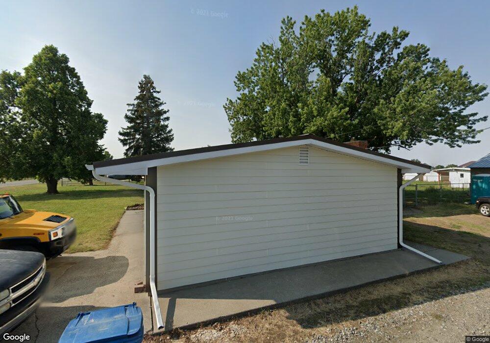
2036 Bitterroot Dr Billings, MT 59105
Billings Heights NeighborhoodEstimated Value: $331,000 - $506,000
3
Beds
2
Baths
1,734
Sq Ft
$240/Sq Ft
Est. Value
About This Home
This home is located at 2036 Bitterroot Dr, Billings, MT 59105 and is currently estimated at $416,876, approximately $240 per square foot. 2036 Bitterroot Dr is a home located in Yellowstone County with nearby schools including Beartooth School, Medicine Crow Middle School, and Skyview High School.
Ownership History
Date
Name
Owned For
Owner Type
Purchase Details
Closed on
Aug 4, 2014
Sold by
Watson Donald Dale and Watson Rita Rowe
Bought by
Rogers Allbright Jean
Current Estimated Value
Home Financials for this Owner
Home Financials are based on the most recent Mortgage that was taken out on this home.
Original Mortgage
$100,000
Outstanding Balance
$32,331
Interest Rate
4.13%
Mortgage Type
New Conventional
Estimated Equity
$384,545
Create a Home Valuation Report for This Property
The Home Valuation Report is an in-depth analysis detailing your home's value as well as a comparison with similar homes in the area
Home Values in the Area
Average Home Value in this Area
Purchase History
| Date | Buyer | Sale Price | Title Company |
|---|---|---|---|
| Rogers Allbright Jean | -- | Chicago Title |
Source: Public Records
Mortgage History
| Date | Status | Borrower | Loan Amount |
|---|---|---|---|
| Open | Rogers Allbright Jean | $100,000 |
Source: Public Records
Tax History
| Year | Tax Paid | Tax Assessment Tax Assessment Total Assessment is a certain percentage of the fair market value that is determined by local assessors to be the total taxable value of land and additions on the property. | Land | Improvement |
|---|---|---|---|---|
| 2025 | $3,026 | $434,200 | $86,542 | $347,658 |
| 2024 | $3,026 | $378,200 | $76,977 | $301,223 |
| 2023 | $3,019 | $378,200 | $76,977 | $301,223 |
| 2022 | $2,450 | $255,700 | $0 | $0 |
| 2021 | $2,439 | $255,700 | $0 | $0 |
| 2020 | $2,134 | $224,800 | $0 | $0 |
| 2019 | $2,095 | $224,800 | $0 | $0 |
| 2018 | $1,961 | $203,900 | $0 | $0 |
| 2017 | $1,904 | $203,900 | $0 | $0 |
| 2016 | $1,920 | $209,300 | $0 | $0 |
| 2015 | $1,877 | $209,300 | $0 | $0 |
| 2014 | $1,597 | $92,379 | $0 | $0 |
Source: Public Records
Map
Nearby Homes
- 1588 Peony Dr
- 1961 Bitterroot Dr
- 1517 Peony Dr
- 1320 Mading Dr
- 1724 Natalie St
- 1635 Elaine St
- 1215 Gardenia Dr
- 2130 E Echo Dr
- 1312 Maurine St
- 1512 Mustang Valley Dr
- 1403 Eugene Ave
- 2106 W Echo Dr
- 1602 Wicks Ln Unit 8
- 1374 Kelsey Ln
- 2610 Bowles Way
- 2542 Kaley Ln
- 2530 Kaley Ln
- 1402 Emma Ave
- 1377 W Eugene Ave
- 1359 W Eugene Ave
- 3640 Bitterroot Dr
- 2028 Bitterroot Dr
- 2046 Bitterroot Dr
- 1528 Mading Dr
- 1518 Mading Dr
- 2122 Bitterroot Dr
- 1578 Peony Dr
- 1564 Peony Dr
- 1552 Peony Dr
- 1540 Peony Dr
- 1528 Peony Dr
- 1589 Peony Dr
- 1597 Peony Dr
- 1579 Peony Dr
- 1565 Peony Dr
- 1553 Peony Dr
- 1516 Peony Dr
- 1442 Mading Dr
- 1504 Peony Dr
- 1529 Peony Dr
Your Personal Tour Guide
Ask me questions while you tour the home.