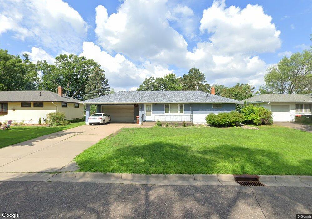
2037 Duluth St Saint Paul, MN 55109
Sherwood Glen NeighborhoodEstimated Value: $316,275 - $363,000
3
Beds
1
Bath
912
Sq Ft
$374/Sq Ft
Est. Value
About This Home
This home is located at 2037 Duluth St, Saint Paul, MN 55109 and is currently estimated at $341,069, approximately $373 per square foot. 2037 Duluth St is a home located in Ramsey County with nearby schools including Weaver Elementary School, John Glenn Middle School, and St Jerome Elementary School.
Ownership History
Date
Name
Owned For
Owner Type
Purchase Details
Closed on
Apr 30, 2018
Sold by
Brake Matthew S
Bought by
Lee Mai Tong and Vang Mong
Current Estimated Value
Home Financials for this Owner
Home Financials are based on the most recent Mortgage that was taken out on this home.
Original Mortgage
$223,250
Outstanding Balance
$192,447
Interest Rate
4.45%
Mortgage Type
New Conventional
Estimated Equity
$148,622
Purchase Details
Closed on
Jan 30, 1998
Sold by
Miller Randall A and Miller Anissa M
Bought by
Parkos Michael A
Create a Home Valuation Report for This Property
The Home Valuation Report is an in-depth analysis detailing your home's value as well as a comparison with similar homes in the area
Home Values in the Area
Average Home Value in this Area
Purchase History
| Date | Buyer | Sale Price | Title Company |
|---|---|---|---|
| Lee Mai Tong | $235,000 | Titlesmart Inc | |
| Parkos Michael A | $113,000 | -- |
Source: Public Records
Mortgage History
| Date | Status | Borrower | Loan Amount |
|---|---|---|---|
| Open | Lee Mai Tong | $223,250 |
Source: Public Records
Tax History Compared to Growth
Tax History
| Year | Tax Paid | Tax Assessment Tax Assessment Total Assessment is a certain percentage of the fair market value that is determined by local assessors to be the total taxable value of land and additions on the property. | Land | Improvement |
|---|---|---|---|---|
| 2025 | $4,092 | $313,900 | $65,800 | $248,100 |
| 2023 | $4,092 | $296,100 | $65,800 | $230,300 |
| 2022 | $3,580 | $284,200 | $65,800 | $218,400 |
| 2021 | $3,446 | $251,000 | $65,800 | $185,200 |
| 2020 | $3,152 | $247,400 | $65,800 | $181,600 |
| 2019 | $2,764 | $215,000 | $65,800 | $149,200 |
| 2018 | $3,366 | $194,700 | $65,800 | $128,900 |
| 2017 | $3,296 | $183,300 | $65,800 | $117,500 |
| 2016 | $3,168 | $0 | $0 | $0 |
| 2015 | $3,128 | $162,900 | $60,300 | $102,600 |
| 2014 | $2,636 | $0 | $0 | $0 |
Source: Public Records
Map
Nearby Homes
- 1201 Frost Ave
- 1875 E Shore Dr Unit 302
- 1779 Frank St
- 1869 Birmingham St
- 1467 County Road B E
- 1940 Barclay St
- 1730 Atlantic St
- 2020 Arcade St
- 1740 English St
- 1509 Sandhurst Ave E
- 1854 Barclay St
- 1435 Price Ave
- 1018 Sextant Ave
- 1984 Prosperity Rd
- 1639 Clarence St
- 1672 Manton St
- 727 Laurie Ct
- 1567 Atlantic St
- 955 Brooks Ct
- 739 Maple Hills Dr E Unit H
- 2029 Duluth St
- 2043 Duluth St
- 2023 Duluth St
- 2049 Duluth St
- 2032 Duluth St
- 2026 Duluth St
- 2048 Duluth St
- 2057 Duluth St
- 2017 Duluth St
- 1203 Shryer Ave E
- 1206 Skillman Ave E
- 2058 Duluth St
- 2065 Duluth St
- 2009 Duluth St
- 1211 Skillman Ave E
- 1211 Shryer Ave E
- 2001 Duluth St
- 1212 Skillman Ave E
- 2071 Duluth St
- 1200 Belmont Ln E