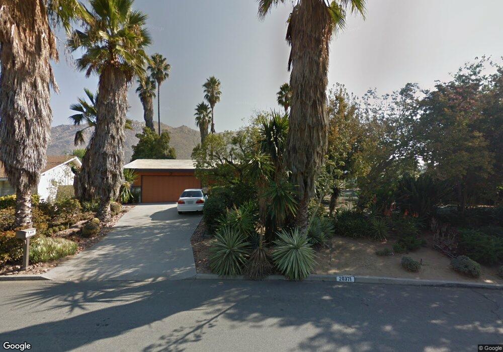
20371 Stanford Ave Riverside, CA 92507
North Moreno Valley NeighborhoodEstimated Value: $572,933 - $699,000
3
Beds
2
Baths
1,808
Sq Ft
$352/Sq Ft
Est. Value
About This Home
This home is located at 20371 Stanford Ave, Riverside, CA 92507 and is currently estimated at $635,983, approximately $351 per square foot. 20371 Stanford Ave is a home located in Riverside County with nearby schools including Seneca Elementary School, Vista Heights Middle School, and Canyon Springs High School.
Ownership History
Date
Name
Owned For
Owner Type
Purchase Details
Closed on
Jan 17, 2002
Sold by
Mcelvain Shelby and Mcelvain Ila Marie
Bought by
Wilhelm Frederick H and Bergen Paula M
Current Estimated Value
Home Financials for this Owner
Home Financials are based on the most recent Mortgage that was taken out on this home.
Original Mortgage
$151,800
Outstanding Balance
$62,033
Interest Rate
7.04%
Estimated Equity
$573,950
Purchase Details
Closed on
May 2, 2000
Sold by
Mcelvain Shelby and Mcelvain Ila Marie
Bought by
Mcelvain Shelby and Mcelvain Ilamarie
Home Financials for this Owner
Home Financials are based on the most recent Mortgage that was taken out on this home.
Original Mortgage
$45,000
Interest Rate
8.22%
Mortgage Type
Stand Alone Second
Create a Home Valuation Report for This Property
The Home Valuation Report is an in-depth analysis detailing your home's value as well as a comparison with similar homes in the area
Home Values in the Area
Average Home Value in this Area
Purchase History
We collect this data history from publicly available records. To have your information removed, we recommend requesting removal directly through your county’s website.
| Date | Buyer | Sale Price | Title Company |
|---|---|---|---|
| Wilhelm Frederick H | $190,000 | Commonwealth Land Title Co | |
| Mcelvain Shelby | -- | -- |
Source: Public Records
Mortgage History
We collect this data history from publicly available records. To have your information removed, we recommend requesting removal directly through your county’s website.
| Date | Status | Borrower | Loan Amount |
|---|---|---|---|
| Open | Wilhelm Frederick H | $151,800 | |
| Previous Owner | Mcelvain Shelby | $45,000 |
Source: Public Records
Tax History
| Year | Tax Paid | Tax Assessment Tax Assessment Total Assessment is a certain percentage of the fair market value that is determined by local assessors to be the total taxable value of land and additions on the property. | Land | Improvement |
|---|---|---|---|---|
| 2025 | $3,010 | $280,663 | $73,851 | $206,812 |
| 2023 | $3,010 | $269,766 | $70,984 | $198,782 |
| 2022 | $2,887 | $264,478 | $69,593 | $194,885 |
| 2021 | $2,829 | $259,293 | $68,229 | $191,064 |
| 2020 | $2,797 | $256,635 | $67,530 | $189,105 |
| 2019 | $2,748 | $251,604 | $66,206 | $185,398 |
| 2018 | $2,690 | $246,671 | $64,909 | $181,762 |
| 2017 | $2,627 | $241,836 | $63,637 | $178,199 |
| 2016 | $2,597 | $237,095 | $62,390 | $174,705 |
| 2015 | $2,557 | $233,535 | $61,453 | $172,082 |
| 2014 | $2,370 | $228,962 | $60,250 | $168,712 |
Source: Public Records
Map
Nearby Homes
- 0 Harvard Way
- 11517 Tulane Ave
- 11543 Tulane Ave
- 20517 Claremont Ave
- 11407 Eton Ln
- 5423 Canmore Ct
- 20996 Mountain Gate Dr
- 1379 Withorn Ct
- 11516 Wordsworth Rd
- 0 Pettegrew Rd Unit IV25281686
- 20682 Hill Top Dr
- 375 Central Ave Unit 124
- 375 Central Ave Unit 83
- 11764 Betula Cir
- 6050 Cannich Rd
- 21401 Greyson Rd
- 21396 Lilium Ct
- 21391 Blossom Hill Ln
- 702 Via Zapata
- 700 Via Concepcion
- 20385 Stanford Ave
- 20355 Stanford Ave
- 20422 Harvard Way
- 20350 Stanford Ave
- 20345 Stanford Ave
- 20410 Harvard Way
- 20401 Stanford Ave
- 20436 Harvard Way
- 20443 College Blvd
- 20380 Stanford Ave
- 20398 Harvard Way
- 20400 Stanford Ave
- 20344 Stanford Ave
- 20337 Stanford Ave
- 20448 Harvard Way
- 20388 Harvard Way
- 20336 Stanford Ave
- 11581 Cornell Ave
- 20387 College Blvd
- 11564 Cornell Ave
Your Personal Tour Guide
Ask me questions while you tour the home.