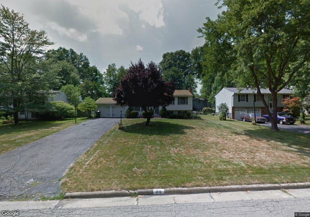
2038 Elm Trace St Youngstown, OH 44515
Austintown NeighborhoodEstimated Value: $219,627 - $246,000
3
Beds
2
Baths
1,520
Sq Ft
$154/Sq Ft
Est. Value
About This Home
This home is located at 2038 Elm Trace St, Youngstown, OH 44515 and is currently estimated at $234,657, approximately $154 per square foot. 2038 Elm Trace St is a home located in Mahoning County with nearby schools including Austintown Elementary School, Austintown Intermediate School, and Austintown Middle School.
Ownership History
Date
Name
Owned For
Owner Type
Purchase Details
Closed on
Dec 20, 2001
Sold by
Barton Matthew W and Barton Vicki R
Bought by
Rivera Miguel A and Rivera Athena M
Current Estimated Value
Home Financials for this Owner
Home Financials are based on the most recent Mortgage that was taken out on this home.
Original Mortgage
$92,547
Outstanding Balance
$34,454
Interest Rate
6.52%
Mortgage Type
FHA
Estimated Equity
$200,203
Purchase Details
Closed on
Jun 26, 1998
Sold by
Miller Ralph M and Miller Kathryn Ann
Bought by
Baitan Matthew W and Baitan Vicki R
Home Financials for this Owner
Home Financials are based on the most recent Mortgage that was taken out on this home.
Original Mortgage
$87,000
Interest Rate
7.27%
Purchase Details
Closed on
May 9, 1994
Bought by
Miller Ralph M and Miller Kathryn
Create a Home Valuation Report for This Property
The Home Valuation Report is an in-depth analysis detailing your home's value as well as a comparison with similar homes in the area
Home Values in the Area
Average Home Value in this Area
Purchase History
| Date | Buyer | Sale Price | Title Company |
|---|---|---|---|
| Rivera Miguel A | $94,000 | -- | |
| Baitan Matthew W | $87,000 | -- | |
| Miller Ralph M | $83,000 | -- |
Source: Public Records
Mortgage History
| Date | Status | Borrower | Loan Amount |
|---|---|---|---|
| Open | Rivera Miguel A | $92,547 | |
| Closed | Baitan Matthew W | $87,000 |
Source: Public Records
Tax History
| Year | Tax Paid | Tax Assessment Tax Assessment Total Assessment is a certain percentage of the fair market value that is determined by local assessors to be the total taxable value of land and additions on the property. | Land | Improvement |
|---|---|---|---|---|
| 2025 | $2,849 | $59,020 | $8,700 | $50,320 |
| 2024 | $2,721 | $59,020 | $8,700 | $50,320 |
| 2023 | $2,674 | $59,020 | $8,700 | $50,320 |
| 2022 | $2,199 | $38,910 | $7,930 | $30,980 |
| 2021 | $2,201 | $38,910 | $7,930 | $30,980 |
| 2020 | $2,209 | $38,910 | $7,930 | $30,980 |
| 2019 | $2,197 | $35,060 | $7,150 | $27,910 |
| 2018 | $2,113 | $35,060 | $7,150 | $27,910 |
| 2017 | $2,019 | $35,060 | $7,150 | $27,910 |
| 2016 | $1,939 | $32,040 | $7,150 | $24,890 |
| 2015 | $1,880 | $32,040 | $7,150 | $24,890 |
| 2014 | $1,888 | $32,040 | $7,150 | $24,890 |
| 2013 | $1,867 | $32,040 | $7,150 | $24,890 |
Source: Public Records
Map
Nearby Homes
- 2063 Woodland Trace
- 4829 New Rd
- 4656 Pinegrove Ave
- 2351 Birch Trace Dr
- 1707 Westhampton Dr
- 2612 Frostwood Dr
- 0 Collingwood Place
- 3313 Starwick Dr
- 1540 Pimlico Dr
- 325 S Inglewood Ave
- 1556 Pimlico Dr Unit 15
- 4828 Shadow Oak Dr
- 4888 Shadow Oak Dr
- 4876 Shadow Oak Dr
- 5362 Willow Crest Ave
- 4314 Kerrybrook Dr
- 5365 Oakcrest Ave
- 285 Aldrich Rd
- 4387 Burkey Rd
- 1853 Lancaster Dr
- 2014 Elm Trace St
- 2062 Elm Trace St
- 2039 Woodland Trace
- 1990 Elm Trace St
- 2086 Elm Trace St
- 2015 Woodland Trace
- 2039 Elm Trace St
- 2035 Elm Trace St
- 1991 Woodland Trace
- 2085 Woodland Trace
- 2063 Elm Trace St
- 1966 Elm Trace St
- 2110 Elm Trace St
- 1991 Elm Trace St
- 2085 Elm Trace St
- 1967 Woodland Trace
- 2111 Woodland Trace
- 1967 Elm Trace St
- 1942 Elm Trace St
- 2134 Elm Trace St
Your Personal Tour Guide
Ask me questions while you tour the home.