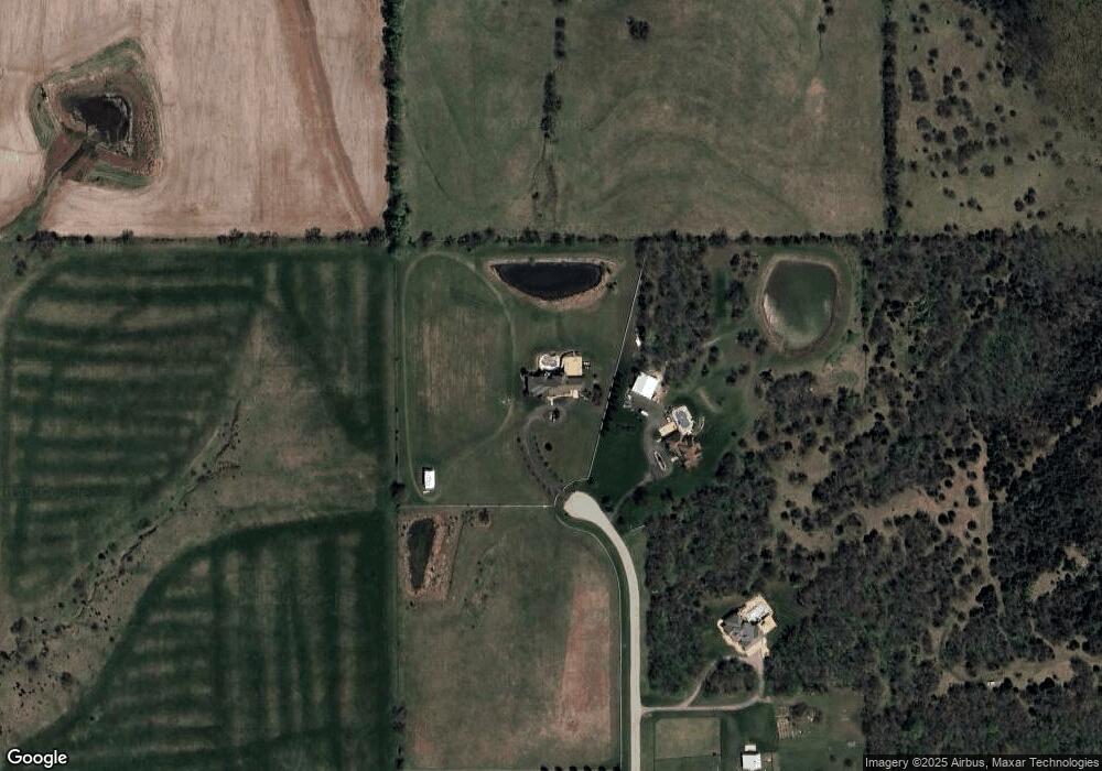
20382 Red Bird St Spring Hill, KS 66083
Gardner-Edgerton NeighborhoodEstimated Value: $867,000 - $1,870,000
5
Beds
7
Baths
4,681
Sq Ft
$320/Sq Ft
Est. Value
About This Home
This home is located at 20382 Red Bird St, Spring Hill, KS 66083 and is currently estimated at $1,497,692, approximately $319 per square foot. 20382 Red Bird St is a home located in Johnson County with nearby schools including Wolf Creek Elementary School, Spring Hill Middle School, and Spring Hill High School.
Ownership History
Date
Name
Owned For
Owner Type
Purchase Details
Closed on
Feb 4, 2010
Sold by
Curry Brent J and Curry Leah M
Bought by
Jones Van L and Jones Kandi L
Current Estimated Value
Home Financials for this Owner
Home Financials are based on the most recent Mortgage that was taken out on this home.
Original Mortgage
$748,000
Outstanding Balance
$493,810
Interest Rate
4.98%
Mortgage Type
New Conventional
Estimated Equity
$1,003,882
Create a Home Valuation Report for This Property
The Home Valuation Report is an in-depth analysis detailing your home's value as well as a comparison with similar homes in the area
Home Values in the Area
Average Home Value in this Area
Purchase History
| Date | Buyer | Sale Price | Title Company |
|---|---|---|---|
| Jones Van L | -- | Midwest Title Company Inc | |
| Curry Brent J | -- | Midwest Title Company Inc |
Source: Public Records
Mortgage History
| Date | Status | Borrower | Loan Amount |
|---|---|---|---|
| Open | Curry Brent J | $748,000 |
Source: Public Records
Tax History Compared to Growth
Tax History
| Year | Tax Paid | Tax Assessment Tax Assessment Total Assessment is a certain percentage of the fair market value that is determined by local assessors to be the total taxable value of land and additions on the property. | Land | Improvement |
|---|---|---|---|---|
| 2024 | $25,052 | $198,588 | $14,822 | $183,766 |
| 2023 | $20,756 | $171,631 | $12,936 | $158,695 |
| 2022 | $21,320 | $165,628 | $12,224 | $153,404 |
| 2021 | $21,204 | $161,538 | $10,215 | $151,323 |
| 2020 | $20,308 | $152,614 | $10,206 | $142,408 |
| 2019 | $17,790 | $144,760 | $10,185 | $134,575 |
| 2018 | $16,337 | $135,334 | $10,167 | $125,167 |
| 2017 | $15,172 | $1,738 | $210 | $1,528 |
| 2016 | $13,249 | $109,812 | $7,281 | $102,531 |
| 2015 | $12,931 | $106,624 | $7,260 | $99,364 |
| 2013 | -- | $105,942 | $7,242 | $98,700 |
Source: Public Records
Map
Nearby Homes
- 17758 Red Bird St
- W 199th St
- 000 W 199th St 25 Acres
- 0 W 207th St Unit 2425721
- 24200 W 199th St
- 21411 Deer Ridge Dr
- 21350 Deer Ridge Dr
- 19110 S Sunray Dr
- 18975 Clare Rd
- 25987 W 215th St
- 18913 Ocheltree St
- 21004 Millridge St
- 0 169 Hwy Unit HMS2507540
- 21141 Millridge St
- 21743 Johnson Ct
- 24950 W 183rd St
- 501 N Franklin St
- 20480 S Gardner Rd
- 28520 W 199th St
- 28420 W 199th St
- 20387 Red Bird St
- 17764 Red Bird St
- 17771 Red Bird St
- 20449 Red Bird St
- 20555 Red Bird St
- 20602 Red Bird St
- 25700 W 207th St
- 24990 W 207th St
- 20677 Red Bird St
- 24912 W 207th St
- 25495 W 207th St
- 20311 S Cedar Niles Rd
- 25065 W 207th St
- 26000 W 207th St
- 25133 W 207th St
- 24650 W 207th St
- 20380 Appleridge Ln
- 20549 S Cedar Niles Rd
- 24985 W 199th St
- 20300 Appleridge Ln
