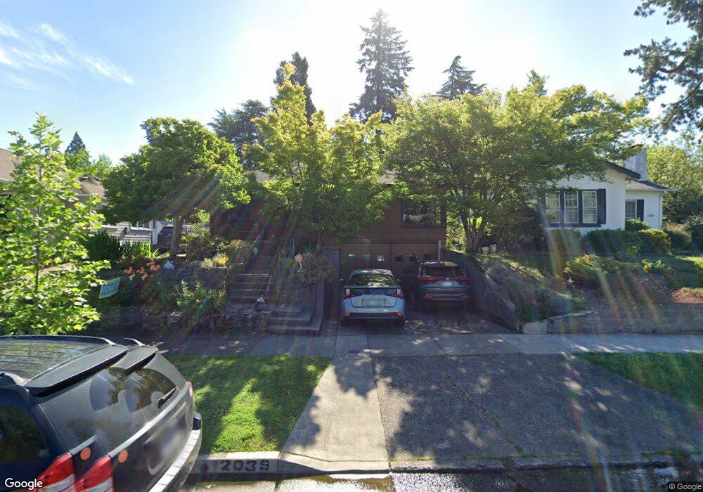
2039 Harris St Eugene, OR 97405
South University NeighborhoodEstimated Value: $753,879 - $877,000
4
Beds
2
Baths
1,647
Sq Ft
$485/Sq Ft
Est. Value
About This Home
This home is located at 2039 Harris St, Eugene, OR 97405 and is currently estimated at $798,220, approximately $484 per square foot. 2039 Harris St is a home located in Lane County with nearby schools including Edison Elementary School, Roosevelt Middle School, and South Eugene High School.
Ownership History
Date
Name
Owned For
Owner Type
Purchase Details
Closed on
Aug 23, 2023
Sold by
Woolfson Nancy E and Levin William L
Bought by
Levin Woolfson Joint Revocable Trust and Levin
Current Estimated Value
Purchase Details
Closed on
Oct 28, 2004
Sold by
Goldman Paul and Goldman Marion S
Bought by
Woolfson Nancy E and Levin William L
Home Financials for this Owner
Home Financials are based on the most recent Mortgage that was taken out on this home.
Original Mortgage
$290,000
Interest Rate
5.69%
Mortgage Type
Purchase Money Mortgage
Create a Home Valuation Report for This Property
The Home Valuation Report is an in-depth analysis detailing your home's value as well as a comparison with similar homes in the area
Home Values in the Area
Average Home Value in this Area
Purchase History
| Date | Buyer | Sale Price | Title Company |
|---|---|---|---|
| Levin Woolfson Joint Revocable Trust | -- | None Listed On Document | |
| Woolfson Nancy E | $385,000 | Western Title & Escrow Co |
Source: Public Records
Mortgage History
| Date | Status | Borrower | Loan Amount |
|---|---|---|---|
| Previous Owner | Woolfson Nancy E | $290,000 |
Source: Public Records
Tax History
| Year | Tax Paid | Tax Assessment Tax Assessment Total Assessment is a certain percentage of the fair market value that is determined by local assessors to be the total taxable value of land and additions on the property. | Land | Improvement |
|---|---|---|---|---|
| 2025 | $7,536 | $386,807 | -- | -- |
| 2024 | $7,443 | $375,541 | -- | -- |
| 2023 | $7,443 | $364,603 | $0 | $0 |
| 2022 | $6,972 | $353,984 | $0 | $0 |
| 2021 | $6,549 | $343,674 | $0 | $0 |
| 2020 | $6,572 | $333,665 | $0 | $0 |
| 2019 | $6,347 | $323,947 | $0 | $0 |
| 2018 | $5,975 | $305,351 | $0 | $0 |
| 2017 | $5,707 | $305,351 | $0 | $0 |
| 2016 | $5,565 | $296,457 | $0 | $0 |
| 2015 | $5,406 | $287,822 | $0 | $0 |
| 2014 | $5,297 | $279,439 | $0 | $0 |
Source: Public Records
Map
Nearby Homes
- 2042 Onyx St
- 940 E 23rd Ave
- 780 E 22nd Ave
- 2121 Hilyard St
- 1828 Hilyard St
- 1350 E 25th Ave
- 2571 Alder St
- 1826 Mill St
- 1733 Mill Aly
- 2580 Chula Vista Blvd
- 2683 Alder St
- 0 Agate St
- 508 E 14th Ave
- 1857 Pearl St
- 193 E 20th Ave
- 181 Civic Dr
- 177 E 20th Ave
- 2642 Central Blvd
- 344 E 14th Ave
- 1600 Pearl St Unit 608
- 2061 Harris St
- 2027 Harris St
- 1046 E 20th Ave
- 2075 Harris St
- 1010 E 20th Ave
- 1039 E 21st Ave
- 1025 E 21st Ave
- 1066 E 20th Ave
- 2052 Potter St
- 2028 Potter St
- 1063 E 21st Ave
- 994 E 20th Ave
- 2064 Potter St
- 2042 Harris St
- 2058 Harris St
- 1995 Harris St
- 1096 E 20th Ave
- 976 E 20th Ave
- 2088 Harris St
- 2086 Potter St
Your Personal Tour Guide
Ask me questions while you tour the home.