20391 Foresthill Rd Foresthill, CA 95631
Estimated Value: $463,875 - $704,000
3
Beds
2
Baths
1,654
Sq Ft
$320/Sq Ft
Est. Value
About This Home
This home is located at 20391 Foresthill Rd, Foresthill, CA 95631 and is currently estimated at $528,719, approximately $319 per square foot. 20391 Foresthill Rd is a home located in Placer County with nearby schools including Foresthill Elementary School and Foresthill High School.
Ownership History
Date
Name
Owned For
Owner Type
Purchase Details
Closed on
Nov 1, 1995
Sold by
Davis Lyle H and Davis Margaret E
Bought by
Davis Lyle Hansen and Davis Margaret Edwina
Current Estimated Value
Home Financials for this Owner
Home Financials are based on the most recent Mortgage that was taken out on this home.
Original Mortgage
$70,000
Interest Rate
7.62%
Mortgage Type
Purchase Money Mortgage
Create a Home Valuation Report for This Property
The Home Valuation Report is an in-depth analysis detailing your home's value as well as a comparison with similar homes in the area
Home Values in the Area
Average Home Value in this Area
Purchase History
| Date | Buyer | Sale Price | Title Company |
|---|---|---|---|
| Davis Lyle Hansen | -- | -- | |
| Davis Lyle H | -- | Commonwealth Land Title Ins |
Source: Public Records
Mortgage History
| Date | Status | Borrower | Loan Amount |
|---|---|---|---|
| Closed | Davis Lyle H | $70,000 |
Source: Public Records
Tax History
| Year | Tax Paid | Tax Assessment Tax Assessment Total Assessment is a certain percentage of the fair market value that is determined by local assessors to be the total taxable value of land and additions on the property. | Land | Improvement |
|---|---|---|---|---|
| 2025 | $3,231 | $273,679 | $57,732 | $215,947 |
| 2023 | $3,231 | $263,053 | $55,491 | $207,562 |
| 2022 | $3,113 | $257,896 | $54,403 | $203,493 |
| 2021 | $3,040 | $252,840 | $53,337 | $199,503 |
| 2020 | $2,997 | $250,249 | $52,791 | $197,458 |
| 2019 | $2,934 | $245,343 | $51,756 | $193,587 |
| 2018 | $2,600 | $240,534 | $50,742 | $189,792 |
| 2017 | $2,551 | $235,819 | $49,748 | $186,071 |
| 2016 | $2,495 | $231,196 | $48,773 | $182,423 |
| 2015 | $2,434 | $227,724 | $48,041 | $179,683 |
| 2014 | $2,396 | $223,264 | $47,100 | $176,164 |
Source: Public Records
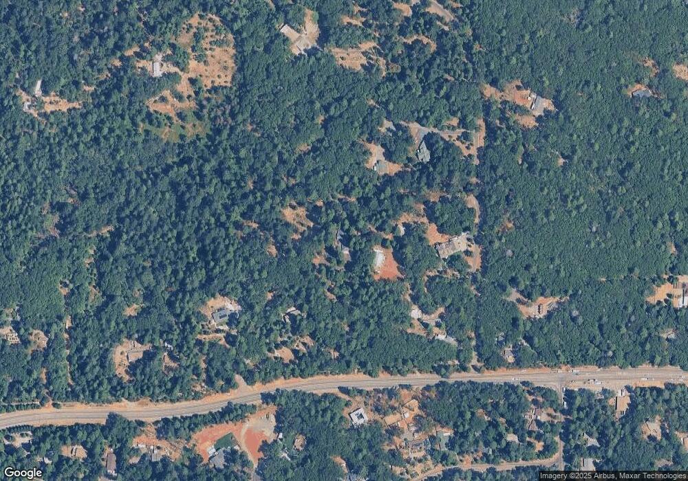
Map
Nearby Homes
- 5043 Virginia Bird Mine Ct
- 5352 Buttonwood Ct
- 5211 Clear Creek Ct
- 5117- Cold Springs Dr
- 5120 McKeon Ponderosa Way
- 5260 McKeon Ponderosa Way
- 5379 Crestline Dr
- 20860 Todd Valley Rd
- 5454 Crestline Dr
- 5627 Maywood Dr
- 5897 Silverleaf Dr
- 5772 Arrowhead Dr
- 5701 Maywood Dr
- 19751 Shirley Ln
- 6035 Acorn Ct
- 20025 Redwood Ct
- 20120 Redwood Dr
- 21200 Todd Valley Rd Unit 13
- 21200 Todd Valley Rd Unit 111
- 21200 Todd Valley Rd Unit 57
- 20401 Foresthill Rd
- 4960 Gray Eagle Ln
- 4900 Gray Eagle Ln
- 20345 Foresthill Rd
- 5056 Cold Springs Dr
- 20341 Foresthill Rd
- 5009 Lode Stone Ct
- 20301 Foresthill Rd
- 5036 Cold Springs Dr
- 4981 Gray Eagle Ln
- 5021 Lode Stone Ct
- 5026 Cold Springs Dr
- 5016 Cold Springs Dr
- 4997 Gray Ct
- 4997 Gray Eagle Ln
- 5046 Cold Springs Dr
- 5066 Cold Springs Dr
- 4848 Indian Ln
- 5008 Lode Stone Ct
- 5006 Cold Springs Dr
Your Personal Tour Guide
Ask me questions while you tour the home.