Estimated Value: $973,000 - $1,662,000
3
Beds
3
Baths
3,300
Sq Ft
$369/Sq Ft
Est. Value
About This Home
This home is located at 204 Abijah Bridge Rd, Weare, NH 03281 and is currently estimated at $1,218,468, approximately $369 per square foot. 204 Abijah Bridge Rd is a home located in Hillsborough County with nearby schools including Center Woods Elementary School, Weare Middle School, and John Stark Regional High School.
Ownership History
Date
Name
Owned For
Owner Type
Purchase Details
Closed on
Sep 30, 2013
Sold by
Pendleton Scott T
Bought by
Rodrigues Vera and Rodrigues Peter C
Current Estimated Value
Purchase Details
Closed on
Apr 29, 2004
Sold by
Rikeman Herbert J
Bought by
Pendleton Scott T
Purchase Details
Closed on
Jun 1, 2001
Sold by
Walls Keith G
Bought by
Rikeman Herbert J
Purchase Details
Closed on
May 29, 1998
Sold by
Pendleton Scott T
Bought by
Walls Keith G
Purchase Details
Closed on
Jan 5, 1996
Sold by
Moran Dennis C and Moran Katherine A
Bought by
Palmer John W and Palmer Heidemarie
Create a Home Valuation Report for This Property
The Home Valuation Report is an in-depth analysis detailing your home's value as well as a comparison with similar homes in the area
Home Values in the Area
Average Home Value in this Area
Purchase History
| Date | Buyer | Sale Price | Title Company |
|---|---|---|---|
| Rodrigues Vera | $512,500 | -- | |
| Rodrigues Vera | $512,500 | -- | |
| Pendleton Scott T | $418,000 | -- | |
| Pendleton Scott T | $418,000 | -- | |
| Rikeman Herbert J | $295,000 | -- | |
| Rikeman Herbert J | $295,000 | -- | |
| Walls Keith G | $236,500 | -- | |
| Walls Keith G | $236,500 | -- | |
| Palmer John W | $83,000 | -- | |
| Palmer John W | $83,000 | -- |
Source: Public Records
Mortgage History
| Date | Status | Borrower | Loan Amount |
|---|---|---|---|
| Previous Owner | Palmer John W | $376,700 | |
| Previous Owner | Palmer John W | $400,000 |
Source: Public Records
Tax History Compared to Growth
Tax History
| Year | Tax Paid | Tax Assessment Tax Assessment Total Assessment is a certain percentage of the fair market value that is determined by local assessors to be the total taxable value of land and additions on the property. | Land | Improvement |
|---|---|---|---|---|
| 2024 | $17,105 | $838,900 | $186,200 | $652,700 |
| 2023 | $15,805 | $838,900 | $186,200 | $652,700 |
| 2022 | $14,151 | $813,300 | $186,200 | $627,100 |
| 2021 | $13,989 | $813,300 | $186,200 | $627,100 |
| 2020 | $14,686 | $613,200 | $159,000 | $454,200 |
| 2019 | $14,539 | $613,200 | $159,000 | $454,200 |
| 2018 | $12,515 | $543,400 | $159,000 | $384,400 |
| 2016 | $10,487 | $468,800 | $152,200 | $316,600 |
| 2015 | $9,863 | $440,100 | $152,200 | $287,900 |
| 2014 | $9,768 | $439,800 | $152,200 | $287,600 |
| 2013 | $8,174 | $375,800 | $152,200 | $223,600 |
Source: Public Records
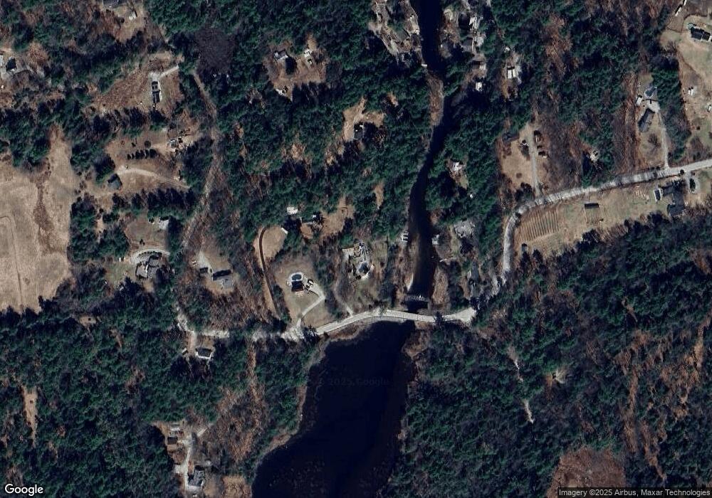
Map
Nearby Homes
- 107 Branch Rd
- 30 Dels Way
- Lot 13 E Deering Rd
- 194 Buckley Rd Unit 2
- 194 Buckley Rd Unit 44
- 62 Collins Landing Rd Unit 46
- 281 Hodgdon Rd
- 108 E Shore Dr
- 101-125 Winslow Rd
- 233 N Stark Hwy
- 9 Reservoir Rd
- 92 Woodbury Rd
- 10 Sap House Rd
- 126 Fisher Rd
- 463 Craney Hill Rd
- 200 Mountain Rd
- 196 Deering Center Rd
- 11 White Birch Rd
- 475 Old County Rd
- 586 C-4 Craney Hill Rd
- 214 Abijah Bridge Rd
- 210 Abijah Bridge Rd
- 15 Beal Rd
- 8 Dudley Brook Rd
- 0 Abijah Bridge Rd
- 231 Abijah Bridge Rd
- 21 Dudley Brook Rd
- 21 Craig Rd
- 142 Abijah Bridge Rd
- 9 Dudley Brook Rd
- 33 Woodfern Rd
- 36 Dudley Brook Rd
- 37 Dudley Brook Rd
- 19 Craig Rd
- 17 Craig Rd
- 39 Woodfern Rd
- 36 Woodfern Rd
- 25 Dudley Brook Rd
- 45 Woodfern Rd
- 41 Dudley Brook Rd