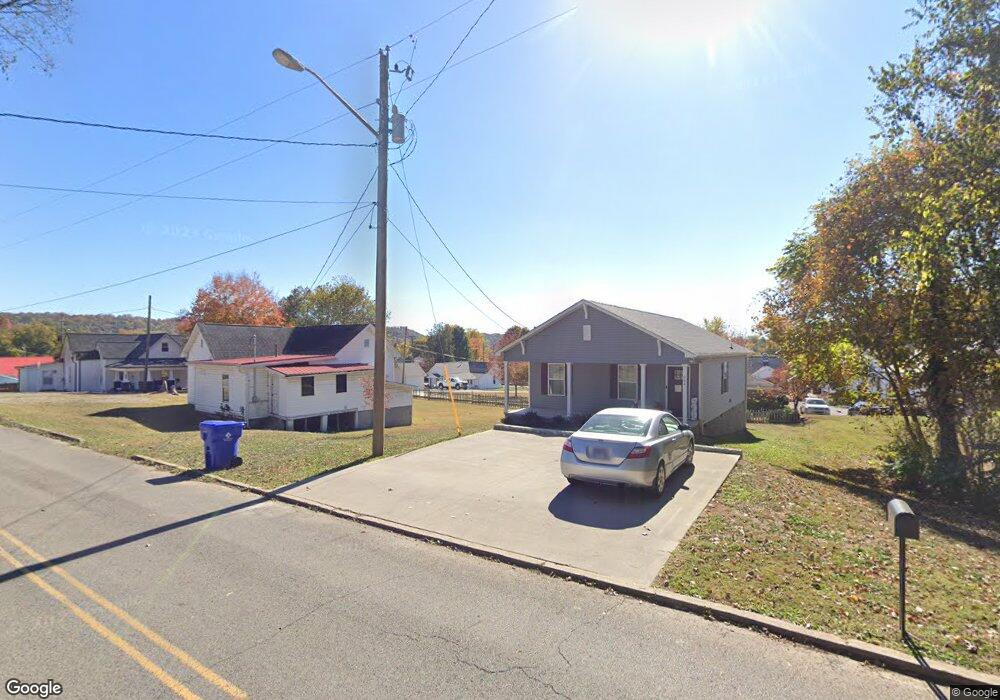
204 Baker Ave Clinton, TN 37716
Estimated Value: $249,000 - $287,000
--
Bed
1
Bath
1,066
Sq Ft
$250/Sq Ft
Est. Value
About This Home
This home is located at 204 Baker Ave, Clinton, TN 37716 and is currently estimated at $266,532, approximately $250 per square foot. 204 Baker Ave is a home located in Anderson County with nearby schools including North Clinton Elementary School.
Ownership History
Date
Name
Owned For
Owner Type
Purchase Details
Closed on
Jun 8, 2022
Sold by
Copeland Ambrose Carla
Bought by
S & N Construction Llc
Current Estimated Value
Purchase Details
Closed on
Mar 28, 2005
Sold by
Ambrose Donald R
Bought by
Bond William D
Purchase Details
Closed on
May 18, 2004
Sold by
Bond William B
Bought by
Ambrose Donald R
Purchase Details
Closed on
Dec 29, 2003
Bought by
Bond William David and Bond Wife Christine
Create a Home Valuation Report for This Property
The Home Valuation Report is an in-depth analysis detailing your home's value as well as a comparison with similar homes in the area
Home Values in the Area
Average Home Value in this Area
Purchase History
| Date | Buyer | Sale Price | Title Company |
|---|---|---|---|
| S & N Construction Llc | $16,500 | None Listed On Document | |
| Bond William D | -- | -- | |
| Ambrose Donald R | $69,900 | -- | |
| Bond William David | $160,500 | -- |
Source: Public Records
Tax History Compared to Growth
Tax History
| Year | Tax Paid | Tax Assessment Tax Assessment Total Assessment is a certain percentage of the fair market value that is determined by local assessors to be the total taxable value of land and additions on the property. | Land | Improvement |
|---|---|---|---|---|
| 2024 | $247 | $28,625 | $2,700 | $25,925 |
| 2023 | $634 | $28,625 | $0 | $0 |
| 2022 | $103 | $2,950 | $2,700 | $250 |
| 2021 | $103 | $2,950 | $2,700 | $250 |
| 2020 | $26 | $2,950 | $2,700 | $250 |
| 2019 | $95 | $2,500 | $2,125 | $375 |
| 2018 | $93 | $2,500 | $2,125 | $375 |
| 2017 | $93 | $2,500 | $2,125 | $375 |
| 2016 | $95 | $2,575 | $2,125 | $450 |
| 2015 | -- | $2,575 | $2,125 | $450 |
| 2014 | -- | $14,775 | $2,125 | $12,650 |
| 2013 | -- | $17,100 | $0 | $0 |
Source: Public Records
Map
Nearby Homes
- 717 Shaw St
- 709 Sharp St
- 711 Sharp St
- 717 N Charles G Seivers Blvd
- 711 Byrd St
- 403 Hickory St
- 400 N Main St
- 729 N Charles G Seivers Blvd
- 817 Medaris St
- 814 Hendrickson St
- 905 Mcadoo St
- 816 Rogers St
- 914 Mcadoo St
- 302 Hickory St
- 407 Eagle Bend Ln
- 925 Loy St
- 904 Eagle Bend Rd
- 502 Crestwood Dr
- 104 Westwood Dr
- 445 W Broad St
- 204 W Baker Ave
- 612 Medaris St
- 0 W Baker Ave
- 201 W Washington Ave
- 205 Baker Ave
- 205 W Washington Ave
- 615 Medaris St
- 109 W Washington Ave
- 215 Baker Ave
- 209 W Washington Ave
- 104 Baker Ave
- 105 W Washington Ave
- 621 Medaris St
- 608 Cagle St
- 626 Medaris St
- 623 Medaris St
- 110 W Washington Ave
- 200 W Washington Ave
- 612 Fowler St
- 204 W Washington Ave