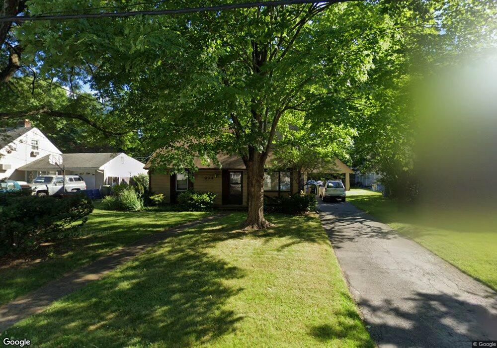
204 Brookfield Ave Paramus, NJ 07652
Paramus AreaEstimated Value: $2,337,000 - $2,468,000
About This Home
This home is located at 204 Brookfield Ave, Paramus, NJ 07652 and is currently estimated at $2,398,098, approximately $524 per square foot. 204 Brookfield Ave is a home located in Bergen County with nearby schools including Paramus High School, Ben Porat Yosef, and St. Peter Academy.
Ownership History
We collect this data history from publicly available records. To have your information removed, we recommend requesting removal directly through your county’s website.
Purchase Details
Home Financials for this Owner
Home Financials are based on the most recent Mortgage that was taken out on this home.Home Values in the Area
Average Home Value in this Area
Purchase History
We collect this data history from publicly available records. To have your information removed, we recommend requesting removal directly through your county’s website.
| Date | Buyer | Sale Price | Title Company |
|---|---|---|---|
| $599,000 | Clear Skies Title |
Mortgage History
We collect this data history from publicly available records. To have your information removed, we recommend requesting removal directly through your county’s website.
| Date | Status | Borrower | Loan Amount |
|---|---|---|---|
| Previous Owner | $936,000 |
Tax History
We collect this data history from publicly available records. To have your information removed, we recommend requesting removal directly through your county’s website.
| Year | Tax Paid | Tax Assessment Tax Assessment Total Assessment is a certain percentage of the fair market value that is determined by local assessors to be the total taxable value of land and additions on the property. | Land | Improvement |
|---|---|---|---|---|
| 2026 | $34,936 | $2,410,900 | $419,800 | $1,991,100 |
| 2025 | $9,190 | $2,330,600 | $385,400 | $1,945,200 |
| 2024 | $7,619 | $607,000 | $357,000 | $250,000 |
| 2023 | $7,204 | $496,700 | $340,400 | $156,300 |
| 2022 | $7,204 | $464,200 | $317,800 | $146,400 |
| 2021 | $6,848 | $414,000 | $279,900 | $134,100 |
| 2020 | $6,501 | $407,600 | $275,100 | $132,500 |
| 2019 | $6,062 | $326,600 | $240,000 | $86,600 |
| 2018 | $5,987 | $326,600 | $240,000 | $86,600 |
| 2017 | $5,882 | $326,600 | $240,000 | $86,600 |
| 2016 | $5,722 | $326,600 | $240,000 | $86,600 |
| 2015 | $5,663 | $326,600 | $240,000 | $86,600 |
| 2014 | $5,614 | $326,600 | $240,000 | $86,600 |
Map
- 66 Knollwood Dr
- 16 Coles Ct
- 19 Coles Ct
- 34 Eastbrook Dr
- 109 Prospect St
- 252 Valley Rd
- 881 Lincoln Ave
- 5 Pelican Ct
- 182 Roosevelt Place
- 849 Wyoming Ave
- 865 Spring Valley Rd
- 17 E Fairmount Ave
- 283 Taft Rd
- 203 Willow Ave
- 761 Palmer Ave
- 63 Washington Ave
- 743 Palmer Ave
- 741 Briarcliff Ave
- 777 Maywood Ave
- 266 Wayne Ave
- 200 Brookfield Ave
- 208 Brookfield Ave
- 212 Brookfield Ave
- 205 Brookfield Ave
- 203 Brookfield Ave
- 198 Brookfield Ave
- 209 Brookfield Ave
- 201 Brookfield Ave
- 214 Brookfield Ave
- 197 Brookfield Ave
- 194 Brookfield Ave
- 217 Brookfield Ave
- 195 Brookfield Ave
- 202 Crest Dr
- 216 Brookfield Ave
- 206 Crest Dr
- 200 Crest Dr
- 211 Crest Dr
- 198 Crest Dr
- 192 Brookfield Ave
Ask me questions while you tour the home.