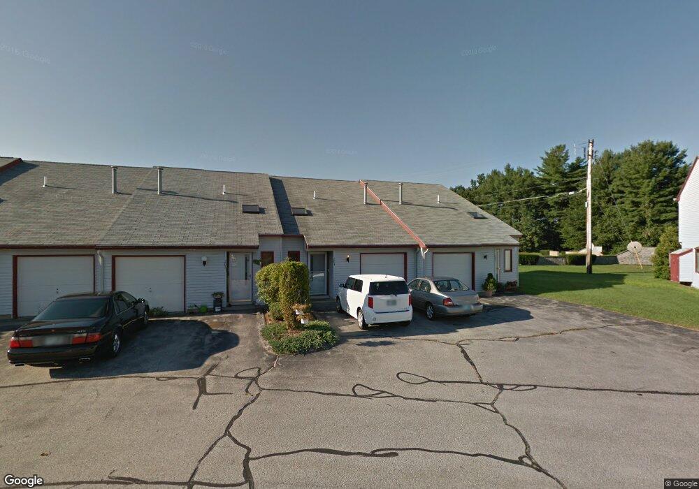
204 Millwright Dr Nashua, NH 03063
Northwest Nashua NeighborhoodEstimated Value: $226,000 - $310,000
2
Beds
1
Bath
1,072
Sq Ft
$267/Sq Ft
Est. Value
About This Home
This home is located at 204 Millwright Dr, Nashua, NH 03063 and is currently estimated at $286,297, approximately $267 per square foot. 204 Millwright Dr is a home located in Hillsborough County with nearby schools including Birch Hill Elementary School, Pennichuck Middle School, and Nashua High School North.
Ownership History
Date
Name
Owned For
Owner Type
Purchase Details
Closed on
Sep 16, 2015
Sold by
Whitestone Realty Asso
Bought by
Leavitt Amy J
Current Estimated Value
Home Financials for this Owner
Home Financials are based on the most recent Mortgage that was taken out on this home.
Original Mortgage
$88,000
Outstanding Balance
$71,237
Interest Rate
3.94%
Purchase Details
Closed on
Mar 24, 2011
Sold by
Lanman Jonathan T Est
Bought by
Leavitt Amy J
Home Financials for this Owner
Home Financials are based on the most recent Mortgage that was taken out on this home.
Original Mortgage
$46,500
Interest Rate
5.07%
Mortgage Type
Purchase Money Mortgage
Purchase Details
Closed on
Jul 6, 2005
Sold by
Ferraro Thomas D
Bought by
Lanman Jonathan T
Create a Home Valuation Report for This Property
The Home Valuation Report is an in-depth analysis detailing your home's value as well as a comparison with similar homes in the area
Home Values in the Area
Average Home Value in this Area
Purchase History
| Date | Buyer | Sale Price | Title Company |
|---|---|---|---|
| Leavitt Amy J | $43,933 | -- | |
| Leavitt Amy J | $62,000 | -- | |
| Lanman Jonathan T | $125,000 | -- |
Source: Public Records
Mortgage History
| Date | Status | Borrower | Loan Amount |
|---|---|---|---|
| Open | Leavitt Amy J | $88,000 | |
| Previous Owner | Lanman Jonathan T | $46,500 |
Source: Public Records
Tax History Compared to Growth
Tax History
| Year | Tax Paid | Tax Assessment Tax Assessment Total Assessment is a certain percentage of the fair market value that is determined by local assessors to be the total taxable value of land and additions on the property. | Land | Improvement |
|---|---|---|---|---|
| 2023 | $3,606 | $197,800 | $0 | $197,800 |
| 2022 | $3,574 | $197,800 | $0 | $197,800 |
| 2021 | $3,409 | $146,800 | $0 | $146,800 |
| 2020 | $3,405 | $150,600 | $0 | $150,600 |
| 2019 | $3,277 | $150,600 | $0 | $150,600 |
| 2018 | $3,194 | $150,600 | $0 | $150,600 |
| 2017 | $2,700 | $104,700 | $0 | $104,700 |
| 2016 | $2,625 | $104,700 | $0 | $104,700 |
| 2015 | $1,710 | $69,700 | $0 | $69,700 |
| 2014 | $1,676 | $69,700 | $0 | $69,700 |
Source: Public Records
Map
Nearby Homes
- 218 Millwright Dr Unit 218
- 2 Roedean Dr Unit UA304
- 15 Blackstone Dr Unit U1518
- 5 Dumaine Ave Unit N
- 5 Dumaine Ave Unit B
- 5 Dumaine Ave Unit C
- 613 Amherst St
- 7 Deerwood Dr Unit A
- 17 Deerwood Dr Unit E
- 75 Deerwood Dr Unit B
- 33 Thornton Rd
- 4 Candia St
- 9 Westerdale Dr
- 19 Bangor St
- 73 Lochmere Ln Unit U407
- 43 Albury Stone Cir Unit U197
- 22 Hawkstead Hollow Unit U23
- 1 Ingham Rd
- 1 Cambridge Dr
- 166 Cannongate III Unit 3
- 204 Millwright Dr
- 204 Millwright Dr Unit 204
- 205 Millwright Dr
- 205 Millwright Dr
- 203 Millwright Dr
- 203 Millwright Dr
- 206 Millwright Dr
- 206 Millwright Dr
- 206 Millwright Dr Unit 206
- 207 Millwright Dr
- 207 Millwright Dr
- 202 Millwright Dr
- 202 Millwright Dr
- 202 Millwright Dr Unit 202
- 208 Millwright Dr
- 208 Millwright Dr
- 208 Millwright Dr Unit 208
- 201 Millwright Dr
- 201 Millwright Dr
- 218 Millwright Dr