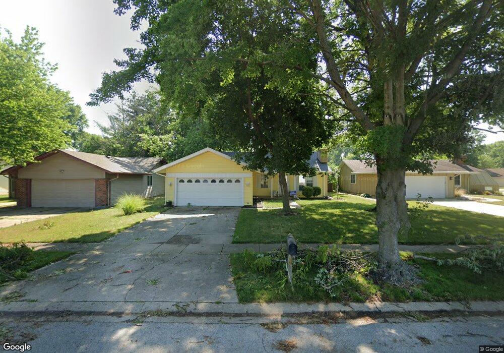
204 N Durkin Dr Springfield, IL 62702
Estimated Value: $184,264 - $222,000
--
Bed
--
Bath
--
Sq Ft
8,712
Sq Ft Lot
About This Home
This home is located at 204 N Durkin Dr, Springfield, IL 62702 and is currently estimated at $207,066. 204 N Durkin Dr is a home located in Sangamon County with nearby schools including Dubois Elementary School, U.S. Grant Middle School, and Springfield High School.
Ownership History
Date
Name
Owned For
Owner Type
Purchase Details
Closed on
Sep 20, 2011
Current Estimated Value
Purchase Details
Closed on
Mar 26, 2009
Purchase Details
Closed on
Apr 23, 2008
Purchase Details
Closed on
Feb 8, 2007
Purchase Details
Closed on
Apr 30, 2002
Purchase Details
Closed on
Jun 14, 2001
Purchase Details
Closed on
Aug 16, 1995
Purchase Details
Closed on
Jul 31, 1995
Create a Home Valuation Report for This Property
The Home Valuation Report is an in-depth analysis detailing your home's value as well as a comparison with similar homes in the area
Home Values in the Area
Average Home Value in this Area
Purchase History
| Date | Buyer | Sale Price | Title Company |
|---|---|---|---|
| -- | $120,000 | -- | |
| -- | -- | -- | |
| -- | -- | -- | |
| -- | -- | -- | |
| -- | $97,500 | -- | |
| -- | -- | -- | |
| -- | -- | -- | |
| -- | -- | -- |
Source: Public Records
Tax History Compared to Growth
Tax History
| Year | Tax Paid | Tax Assessment Tax Assessment Total Assessment is a certain percentage of the fair market value that is determined by local assessors to be the total taxable value of land and additions on the property. | Land | Improvement |
|---|---|---|---|---|
| 2024 | $3,075 | $55,335 | $9,496 | $45,839 |
| 2023 | $3,236 | $50,544 | $8,674 | $41,870 |
| 2022 | $3,280 | $47,607 | $8,229 | $39,378 |
| 2021 | $3,135 | $45,825 | $7,921 | $37,904 |
| 2020 | $3,074 | $45,894 | $7,933 | $37,961 |
| 2019 | $3,013 | $45,734 | $7,905 | $37,829 |
| 2018 | $2,684 | $42,763 | $7,865 | $34,898 |
| 2017 | $2,616 | $42,210 | $7,763 | $34,447 |
| 2016 | $2,552 | $41,595 | $7,650 | $33,945 |
| 2015 | $2,516 | $41,098 | $7,559 | $33,539 |
| 2014 | $2,341 | $40,832 | $7,510 | $33,322 |
| 2013 | $2,288 | $39,245 | $7,511 | $31,734 |
Source: Public Records
Map
Nearby Homes
- 409 N Durkin Dr
- 2650 Cooper Ave Unit 304
- 9 Whisperglen Ln Unit 66
- 2608 Cardifs Ave
- 21 Trailridge Ln
- 313 S Durkin Dr Unit 313
- 700 Country Meadows Dr
- 301 Astoria Rd
- 123 Dickinson Rd
- 2905 Cider Mill Ln
- 852 N Oxford Rd
- 2929 Cider Mill Ln
- 801 Coventry Point
- 75 Meadowlark Ln
- 108 Cartwright Dr
- 105 Timberridge Dr
- 2833 White Plains Ct
- 3008 W Lawrence Ave
- 1038 N Koke Mill Rd
- 2205 Whitefield Rd
- 200 N Durkin Dr
- 212 N Durkin Dr
- 205 Glasgow Dr
- 209 Glasgow Dr
- 205 N Durkin Dr
- 201 Glasgow Dr
- 216 N Durkin Dr
- 213 Glasgow Dr
- 201 N Durkin Dr
- 209 N Durkin Dr
- 151 N Durkin Dr
- 16 Leeds Dr
- 213 N Durkin Dr
- 217 Glasgow Dr
- 10 Leeds Dr
- 220 N Durkin Dr
- 6 Leeds Dr
- 217 N Durkin Dr
- 113 N Durkin Dr
- 221 Glasgow Dr