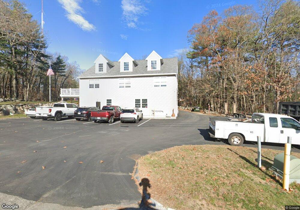
204 New Zealand Rd Seabrook, NH 03874
Estimated Value: $544,993 - $703,000
2
Beds
3
Baths
3,600
Sq Ft
$173/Sq Ft
Est. Value
About This Home
This home is located at 204 New Zealand Rd, Seabrook, NH 03874 and is currently estimated at $623,997, approximately $173 per square foot. 204 New Zealand Rd is a home located in Rockingham County with nearby schools including Seabrook Elementary School, Seabrook Middle School, and Winnacunnet High School.
Ownership History
Date
Name
Owned For
Owner Type
Purchase Details
Closed on
Feb 3, 2017
Sold by
Dekes Rt
Bought by
Bishop Children Ret
Current Estimated Value
Home Financials for this Owner
Home Financials are based on the most recent Mortgage that was taken out on this home.
Original Mortgage
$121,000
Outstanding Balance
$100,462
Interest Rate
4.3%
Mortgage Type
Commercial
Estimated Equity
$523,535
Purchase Details
Closed on
Oct 8, 1999
Sold by
Felch Charles H
Bought by
Dekes Rt
Create a Home Valuation Report for This Property
The Home Valuation Report is an in-depth analysis detailing your home's value as well as a comparison with similar homes in the area
Home Values in the Area
Average Home Value in this Area
Purchase History
| Date | Buyer | Sale Price | Title Company |
|---|---|---|---|
| Bishop Children Ret | $265,400 | -- | |
| Dekes Rt | $90,000 | -- |
Source: Public Records
Mortgage History
| Date | Status | Borrower | Loan Amount |
|---|---|---|---|
| Open | Bishop Children Ret | $121,000 |
Source: Public Records
Tax History Compared to Growth
Tax History
| Year | Tax Paid | Tax Assessment Tax Assessment Total Assessment is a certain percentage of the fair market value that is determined by local assessors to be the total taxable value of land and additions on the property. | Land | Improvement |
|---|---|---|---|---|
| 2024 | $7,715 | $658,300 | $323,900 | $334,400 |
| 2023 | $8,051 | $533,500 | $269,900 | $263,600 |
| 2022 | $7,069 | $533,500 | $269,900 | $263,600 |
| 2021 | $7,221 | $525,900 | $269,900 | $256,000 |
| 2020 | $7,864 | $492,400 | $252,400 | $240,000 |
| 2019 | $6,332 | $402,000 | $265,700 | $136,300 |
| 2018 | $5,714 | $351,600 | $265,700 | $85,900 |
| 2017 | $279 | $327,200 | $241,300 | $85,900 |
| 2016 | $4,839 | $327,200 | $241,300 | $85,900 |
| 2015 | $4,854 | $328,200 | $241,300 | $86,900 |
| 2014 | $4,947 | $324,000 | $237,100 | $86,900 |
| 2013 | $4,947 | $324,000 | $237,100 | $86,900 |
Source: Public Records
Map
Nearby Homes
- 95 Lillian Ave
- 27 Stacey Ave
- 38 Rocks Rd Unit 1
- 1 Marshall Way
- 20 Railroad Ave
- 96 Folly Mill Rd
- 46 Kensington Rd
- 17 Riley Rd
- 22 Maple Ridge Rd
- 147 Weare Rd
- 462 New Zealand Rd
- 22 Farm Ln
- 241 & 245 Lafayette Rd
- 51 Depot Rd
- 51 Locust St
- 2 Collins St
- 10 High St
- 124 Whip-Poor-will St
- 19 Fowlers Ct
- 253 Amesbury Rd
- 197 New Zealand Rd
- 199 New Zealand Rd
- 213 New Zealand Rd
- 1 Chase Park Rd
- 5 Batchelder Rd
- 8 Chase Park Rd
- 1 Batchelder Rd
- 9 Batchelder Rd
- 18 Stard Rd
- 107 New Zealand Rd
- 72 New Zealand Rd
- 57 New Zealand Rd
- 223 State Route 107 Unit 16A
- 15 Batchelder Rd
- 3 Whitaker Way
- 171 State Route 107 Unit 5
- 55 New Zealand Rd
- Lot 3 Foggs
- 1 Foggs Ln
- 5 Andys Path