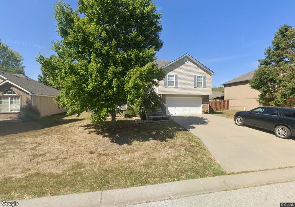
204 NW Michael Dr Grain Valley, MO 64029
Estimated Value: $275,008 - $369,000
3
Beds
3
Baths
1,341
Sq Ft
$234/Sq Ft
Est. Value
About This Home
This home is located at 204 NW Michael Dr, Grain Valley, MO 64029 and is currently estimated at $313,752, approximately $233 per square foot. 204 NW Michael Dr is a home located in Jackson County with nearby schools including Grain Valley High School.
Ownership History
Date
Name
Owned For
Owner Type
Purchase Details
Closed on
Feb 21, 2025
Sold by
Handy Jeff and Handy Sherri
Bought by
Handy Mckenzie and Heil Bret Kevan
Current Estimated Value
Home Financials for this Owner
Home Financials are based on the most recent Mortgage that was taken out on this home.
Original Mortgage
$112,000
Outstanding Balance
$109,295
Interest Rate
6.14%
Mortgage Type
New Conventional
Estimated Equity
$204,457
Purchase Details
Closed on
Oct 13, 2022
Sold by
Darby L T L and Darby Bonnie L
Bought by
Tom & Bonnie Darby Living Trust
Create a Home Valuation Report for This Property
The Home Valuation Report is an in-depth analysis detailing your home's value as well as a comparison with similar homes in the area
Home Values in the Area
Average Home Value in this Area
Purchase History
| Date | Buyer | Sale Price | Title Company |
|---|---|---|---|
| Handy Mckenzie | $140,000 | First American Title | |
| Tom & Bonnie Darby Living Trust | -- | -- |
Source: Public Records
Mortgage History
| Date | Status | Borrower | Loan Amount |
|---|---|---|---|
| Open | Handy Mckenzie | $112,000 |
Source: Public Records
Tax History Compared to Growth
Tax History
| Year | Tax Paid | Tax Assessment Tax Assessment Total Assessment is a certain percentage of the fair market value that is determined by local assessors to be the total taxable value of land and additions on the property. | Land | Improvement |
|---|---|---|---|---|
| 2025 | $2,958 | $26,601 | $5,482 | $21,119 |
| 2024 | $2,958 | $35,910 | $4,750 | $31,160 |
| 2023 | $4,436 | $55,951 | $7,032 | $48,919 |
| 2022 | $2,756 | $30,400 | $4,579 | $25,821 |
| 2021 | $2,691 | $30,400 | $4,579 | $25,821 |
| 2020 | $2,726 | $30,368 | $4,579 | $25,789 |
| 2019 | $2,670 | $30,368 | $4,579 | $25,789 |
| 2018 | $1,976 | $20,998 | $4,017 | $16,981 |
| 2017 | $1,976 | $20,998 | $4,017 | $16,981 |
| 2016 | $1,717 | $18,259 | $4,256 | $14,003 |
| 2014 | $1,440 | $15,200 | $7,144 | $8,056 |
Source: Public Records
Map
Nearby Homes
- 1402 NW Broadway Throughway
- 1418 SW Blue Branch Dr
- 401 S Minter Rd
- 6205 Chiles Rd
- 1701 SE Ridgewood Dr
- 2705 NE Wheatley Dr
- 2512 NE Wheatley Dr
- 2513 NE Wheatley Dr
- 2601 NE Wheatley Dr
- 432 SW Oak Wood Ln
- 2700 NE Crestview St
- 2701 NE Crestview St
- 2601 NE Crestview St
- 29800 E 65th St
- 1235 NW Ashley Ln
- 708 Pavillion Dr
- 2704 NE Amanda Ln
- 2613 NE Amanda Ln
- 2601 NE Amanda Ln
- 719 S Minter Rd
- 202 NW Michael Dr
- 208 NW Michael Dr
- 209 NW Willow Ct
- 205 NW Michael Dr
- 203 NW Michael Dr
- 207 NW Michael Dr
- 210 NW Michael Dr
- 114 NW Michael Dr
- 201 NW Michael Dr
- 209 NW Michael Dr
- 211 NW Willow Ct
- 211 NW Michael Dr
- 112 NW Michael Dr
- 212 NW Michael Dr
- 204 NW Jackie Ave
- 206 NW Willow Ct
- 202 NW Jackie Ave
- 206 NW Jackie Ave
- 213 NW Michael Dr
- 213 NW Willow Ct