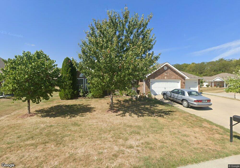
212 NW Michael Dr Grain Valley, MO 64029
Estimated Value: $333,000 - $347,000
About This Home
This home is located at 212 NW Michael Dr, Grain Valley, MO 64029 and is currently estimated at $337,835, approximately $215 per square foot. 212 NW Michael Dr is a home located in Jackson County with nearby schools including Grain Valley High School.
Ownership History
We collect this data history from publicly available records. To have your information removed, we recommend requesting removal directly through your county’s website.
Purchase Details
Home Financials for this Owner
Home Financials are based on the most recent Mortgage that was taken out on this home.Purchase Details
Home Financials for this Owner
Home Financials are based on the most recent Mortgage that was taken out on this home.Home Values in the Area
Average Home Value in this Area
Purchase History
We collect this data history from publicly available records. To have your information removed, we recommend requesting removal directly through your county’s website.
| Date | Buyer | Sale Price | Title Company |
|---|---|---|---|
| -- | First American Title | ||
| -- | First American Title Co |
Mortgage History
We collect this data history from publicly available records. To have your information removed, we recommend requesting removal directly through your county’s website.
| Date | Status | Borrower | Loan Amount |
|---|---|---|---|
| Open | $83,700 |
Tax History
We collect this data history from publicly available records. To have your information removed, we recommend requesting removal directly through your county’s website.
| Year | Tax Paid | Tax Assessment Tax Assessment Total Assessment is a certain percentage of the fair market value that is determined by local assessors to be the total taxable value of land and additions on the property. | Land | Improvement |
|---|---|---|---|---|
| 2025 | $4,179 | $42,715 | $6,148 | $36,567 |
| 2024 | $4,023 | $50,734 | $5,210 | $45,524 |
| 2023 | $4,023 | $50,734 | $7,078 | $43,656 |
| 2022 | $2,928 | $32,300 | $5,349 | $26,951 |
| 2021 | $2,859 | $32,300 | $5,349 | $26,951 |
| 2020 | $2,895 | $32,254 | $5,349 | $26,905 |
| 2019 | $2,836 | $32,254 | $5,349 | $26,905 |
| 2018 | $1,674,999 | $29,976 | $5,810 | $24,166 |
| 2017 | $2,821 | $29,976 | $5,810 | $24,166 |
| 2016 | $2,484 | $26,410 | $4,750 | $21,660 |
| 2014 | $1,440 | $15,200 | $7,144 | $8,056 |
Map
- 401 S Minter Rd
- 2700 NE Wheatley Dr
- 2705 NE Wheatley Dr
- 2512 NE Wheatley Dr
- 2701 NE Wheatley Dr
- 2601 NE Wheatley Dr
- 6205 Chiles Rd
- 2604 NE Crestview St
- 2605 NE Crestview St
- 2609 NE Crestview St
- 2700 NE Crestview St
- 2701 NE Crestview St
- 521 S Minter Rd
- 2600 NE Amanda Ln
- 2609 NE Amanda Ln
- 1127 SE Eastridge Dr
- 1215 NW Ashley Ln
- 431 SW Joseph Ln
- 1105 NW Long Dr
- 1310 NW Valley Woods Ct
- 210 NW Michael Dr
- 213 NW Michael Dr
- 213 NW Willow Ct
- 211 NW Willow Ct
- 208 NW Michael Dr
- 1900 NW Willow Dr
- 1902 NW Willow Dr
- 1816 NW Willow Dr
- 209 NW Willow Ct
- 211 NW Michael Dr
- 1904 NW Willow Dr
- 1814 NW Willow Dr
- 209 NW Michael Dr
- 1906 NW Willow Dr
- 207 NW Michael Dr
- 1812 NW Willow Dr
- 210 NW Willow Ct
- 207 NW Willow Ct
- 204 NW Michael Dr
- 212 NW Jackie Ave
Ask me questions while you tour the home.