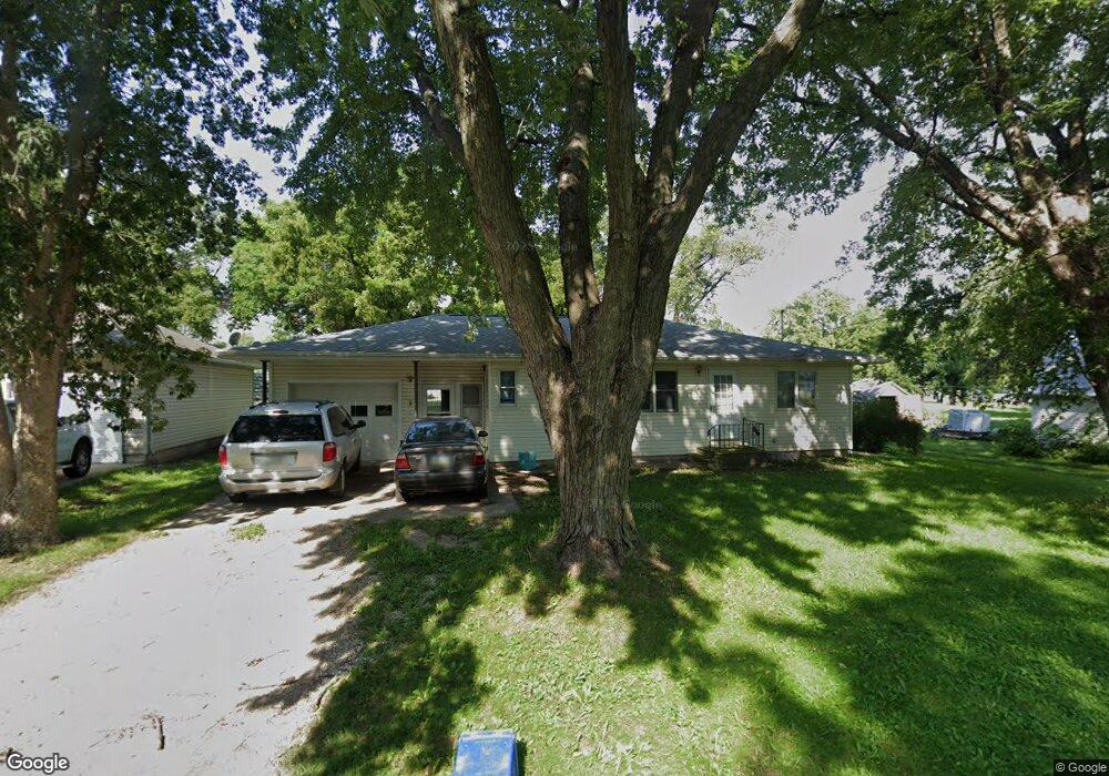
204 Odebolt St Odebolt, IA 51458
Estimated Value: $89,000 - $132,000
Studio
--
Bath
1,008
Sq Ft
$103/Sq Ft
Est. Value
About This Home
This home is located at 204 Odebolt St, Odebolt, IA 51458 and is currently estimated at $103,550, approximately $102 per square foot. 204 Odebolt St is a home located in Sac County with nearby schools including Odebolt Arthur Battle Creek Ida Grove Elementary - Odebolt, Odebolt Arthur Battle Creek Ida Grove Middle School, and Odebolt Arthur Battle Creek Ida Grove High School.
Ownership History
Date
Name
Owned For
Owner Type
Purchase Details
Closed on
Jun 19, 2018
Sold by
Sorensen Scott K and Sorensen Jacqueline J
Bought by
Sorensen Daniel
Current Estimated Value
Home Financials for this Owner
Home Financials are based on the most recent Mortgage that was taken out on this home.
Original Mortgage
$49,000
Outstanding Balance
$42,377
Interest Rate
4.5%
Mortgage Type
New Conventional
Estimated Equity
$61,173
Create a Home Valuation Report for This Property
The Home Valuation Report is an in-depth analysis detailing your home's value as well as a comparison with similar homes in the area
Purchase History
| Date | Buyer | Sale Price | Title Company |
|---|---|---|---|
| Sorensen Daniel | $46,500 | -- |
Source: Public Records
Mortgage History
| Date | Status | Borrower | Loan Amount |
|---|---|---|---|
| Open | Sorensen Daniel | $49,000 |
Source: Public Records
Tax History
| Year | Tax Paid | Tax Assessment Tax Assessment Total Assessment is a certain percentage of the fair market value that is determined by local assessors to be the total taxable value of land and additions on the property. | Land | Improvement |
|---|---|---|---|---|
| 2025 | $1,012 | $80,730 | $1,000 | $79,730 |
| 2024 | $1,012 | $71,240 | $1,000 | $70,240 |
| 2023 | $842 | $71,240 | $1,000 | $70,240 |
| 2022 | $812 | $52,450 | $1,000 | $51,450 |
| 2021 | $812 | $52,450 | $1,000 | $51,450 |
| 2020 | $700 | $45,230 | $1,000 | $44,230 |
| 2019 | $836 | $45,230 | $1,000 | $44,230 |
| 2018 | $776 | $45,010 | $0 | $0 |
| 2017 | $776 | $41,610 | $0 | $0 |
| 2016 | $552 | $41,610 | $0 | $0 |
| 2015 | $552 | $42,290 | $0 | $0 |
| 2014 | $546 | $42,290 | $0 | $0 |
Source: Public Records
Map
Nearby Homes
- 121 Sac Ave
- 109 Sac Ave
- 212 Odebolt St
- 205 Odebolt St
- 105 Sac Ave
- 201 Odebolt St
- 113 N Main St
- 221 N Main St
- 201 E Market St
- 305 Richland Ave
- 301 Richland Ave Unit 358
- 200 N Main St
- 208 E Market St
- 311 N Main St
- 304 N Main St Unit 616
- 308 N Main St
- 316 Richland Ave
- 315 Pine St
- 325 Pine St
- 333 Pine St
Your Personal Tour Guide
Ask me questions while you tour the home.