204 Rowley Bridge Rd Unit 1 Topsfield, MA 01983
Estimated Value: $1,061,000 - $1,500,000
4
Beds
4
Baths
2,706
Sq Ft
$445/Sq Ft
Est. Value
About This Home
This home is located at 204 Rowley Bridge Rd Unit 1, Topsfield, MA 01983 and is currently estimated at $1,203,393, approximately $444 per square foot. 204 Rowley Bridge Rd Unit 1 is a home located in Essex County with nearby schools including Steward Elementary School, Proctor Elementary School, and Masconomet Regional Middle School.
Ownership History
Date
Name
Owned For
Owner Type
Purchase Details
Closed on
Oct 29, 2012
Sold by
Kane Carol A and Kane Robert L
Bought by
Raymond Stephen L and Raymond Julie S
Current Estimated Value
Home Financials for this Owner
Home Financials are based on the most recent Mortgage that was taken out on this home.
Original Mortgage
$417,000
Outstanding Balance
$290,463
Interest Rate
3.56%
Mortgage Type
New Conventional
Estimated Equity
$912,930
Purchase Details
Closed on
Jul 3, 1996
Sold by
Sabatini Flornce L
Bought by
Kane Robert L and Kane Carol A
Create a Home Valuation Report for This Property
The Home Valuation Report is an in-depth analysis detailing your home's value as well as a comparison with similar homes in the area
Home Values in the Area
Average Home Value in this Area
Purchase History
| Date | Buyer | Sale Price | Title Company |
|---|---|---|---|
| Raymond Stephen L | $572,813 | -- | |
| Kane Robert L | $405,000 | -- |
Source: Public Records
Mortgage History
| Date | Status | Borrower | Loan Amount |
|---|---|---|---|
| Open | Kane Robert L | $417,000 | |
| Previous Owner | Kane Robert L | $335,000 | |
| Previous Owner | Kane Robert L | $175,000 |
Source: Public Records
Tax History Compared to Growth
Tax History
| Year | Tax Paid | Tax Assessment Tax Assessment Total Assessment is a certain percentage of the fair market value that is determined by local assessors to be the total taxable value of land and additions on the property. | Land | Improvement |
|---|---|---|---|---|
| 2025 | $15,437 | $1,029,800 | $414,000 | $615,800 |
| 2024 | $14,808 | $1,008,000 | $392,200 | $615,800 |
| 2023 | $13,283 | $873,900 | $370,400 | $503,500 |
| 2022 | $12,787 | $768,000 | $370,400 | $397,600 |
| 2021 | $12,824 | $715,600 | $331,200 | $384,400 |
| 2020 | $12,466 | $715,600 | $331,200 | $384,400 |
| 2019 | $11,931 | $701,800 | $331,200 | $370,600 |
| 2018 | $11,978 | $690,000 | $331,200 | $358,800 |
| 2017 | $11,018 | $650,800 | $292,000 | $358,800 |
| 2016 | $10,396 | $629,300 | $278,900 | $350,400 |
| 2015 | $10,082 | $612,900 | $276,100 | $336,800 |
Source: Public Records
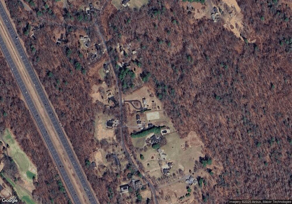
Map
Nearby Homes
- 2 New Meadow Ln
- 7 English Commons Unit 7
- 9 Country Club Ln Unit 9
- 281 Rowley Bridge Rd Unit 7
- 36 Village Rd Unit 712
- 36 Village Rd Unit 713
- 36 Village Rd Unit 601
- 38 Village Rd Unit 515
- 40 Village Rd Unit 608B
- 40 Village Rd Unit 1508
- 40 Village Rd Unit 1601
- 40 Village Rd Unit 1704 (PH-4)
- 22 Locust St
- 200 North St
- 14 Alderbrook Dr
- 19 Bridle Spur Ln
- 8 Lebeau Dr
- 95 Salem Rd
- 6 Masi Meadow Ln Unit B
- 33 Reservoir Dr
- 204 Rowley Bridge Rd
- 208 Rowley Bridge Rd
- 199 Rowley Bridge Rd
- 194 Rowley Bridge Rd
- 212 Rowley Bridge Rd
- 207 Rowley Bridge Rd
- 192 Rowley Bridge Rd
- 195 Rowley Bridge Rd
- 216 Rowley Bridge Rd
- 211 Rowley Bridge Rd
- 189 Rowley Bridge Rd
- 220 Rowley Bridge Rd
- 183 Rowley Bridge Rd
- 217 Rowley Bridge Rd
- 222 Rowley Bridge Rd
- 132 Hill St
- 179 Rowley Bridge Rd
- 139 Hill St
- 226 Rowley Bridge Rd
- 128 Hill St