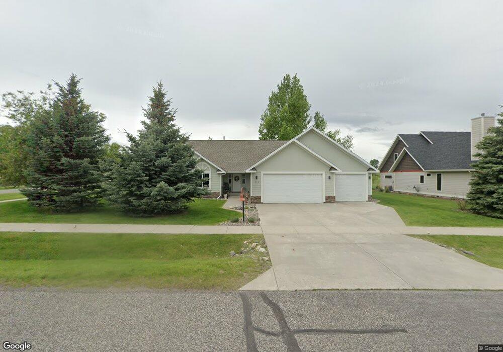
204 Silver Cloud Cir Bozeman, MT 59715
South Bozeman NeighborhoodEstimated Value: $865,435 - $1,208,000
4
Beds
2
Baths
2,272
Sq Ft
$452/Sq Ft
Est. Value
About This Home
This home is located at 204 Silver Cloud Cir, Bozeman, MT 59715 and is currently estimated at $1,025,859, approximately $451 per square foot. 204 Silver Cloud Cir is a home located in Gallatin County with nearby schools including Morning Star School, Sacajawea Middle School, and Bozeman High School.
Ownership History
Date
Name
Owned For
Owner Type
Purchase Details
Closed on
Apr 1, 2016
Sold by
Ekstrom Joseph E and Ekstrom Jody K
Bought by
Franklin Ross C and Woods Emma Eunbee
Current Estimated Value
Home Financials for this Owner
Home Financials are based on the most recent Mortgage that was taken out on this home.
Original Mortgage
$337,840
Outstanding Balance
$268,129
Interest Rate
3.65%
Mortgage Type
New Conventional
Estimated Equity
$757,730
Create a Home Valuation Report for This Property
The Home Valuation Report is an in-depth analysis detailing your home's value as well as a comparison with similar homes in the area
Home Values in the Area
Average Home Value in this Area
Purchase History
| Date | Buyer | Sale Price | Title Company |
|---|---|---|---|
| Franklin Ross C | -- | Security Title Company |
Source: Public Records
Mortgage History
| Date | Status | Borrower | Loan Amount |
|---|---|---|---|
| Open | Franklin Ross C | $337,840 |
Source: Public Records
Tax History
| Year | Tax Paid | Tax Assessment Tax Assessment Total Assessment is a certain percentage of the fair market value that is determined by local assessors to be the total taxable value of land and additions on the property. | Land | Improvement |
|---|---|---|---|---|
| 2025 | $3,619 | $774,500 | $0 | $0 |
| 2024 | $5,819 | $874,100 | $0 | $0 |
| 2023 | $5,628 | $874,100 | $0 | $0 |
| 2022 | $4,756 | $620,200 | $0 | $0 |
| 2021 | $5,248 | $620,200 | $0 | $0 |
| 2020 | $4,473 | $523,700 | $0 | $0 |
| 2019 | $4,575 | $523,700 | $0 | $0 |
| 2018 | $4,493 | $476,600 | $0 | $0 |
| 2017 | $4,200 | $476,600 | $0 | $0 |
| 2016 | $4,162 | $441,300 | $0 | $0 |
| 2015 | $4,059 | $429,800 | $0 | $0 |
| 2014 | $3,626 | $225,792 | $0 | $0 |
Source: Public Records
Map
Nearby Homes
- 3726 Bungalow Ln
- 4235 Graf St
- Lot 129 Graf St
- 17 W Fieldview Cir
- 1301 Cambridge Dr
- 1605 Cambridge Dr
- 1517 Cambridge Dr
- 1525 Cambridge Dr
- 1617 Cambridge Dr
- 1621 Cambridge Dr
- 1609 Cambridge Dr
- 1613 Cambridge Dr
- 3281 Gardenbrook Ln
- 407 Fieldstone Dr
- 3751 Sourdough Rd
- 3018 Secor Ave
- 8373 Goldenstein Ln
- 517 Staudaher St
- 2516 Spring Creek Dr
- 1306 Cambridge Dr
- 214 Silver Cloud Cir
- -- Silver Cloud Cir
- 4033 Rain Roper Dr
- 4022 Rain Roper Dr
- 226 Silver Cloud Cir
- 3939 Rain Roper Dr
- 4038 Rain Roper Dr
- 4045 Rain Roper Dr
- 217 Silver Cloud Cir
- 3934 Rain Roper Dr
- 240 Silver Cloud Cir
- 229 Silver Cloud Cir
- 4057 Rain Roper Dr
- 237 Silver Cloud Cir
- 3925 Rain Roper Dr
- 3924 Rain Roper Dr
- 4069 Rain Roper Dr
- 4104 Rain Roper Dr
- 3919 Rain Roper Dr
- 3912 Rain Roper Dr
Your Personal Tour Guide
Ask me questions while you tour the home.