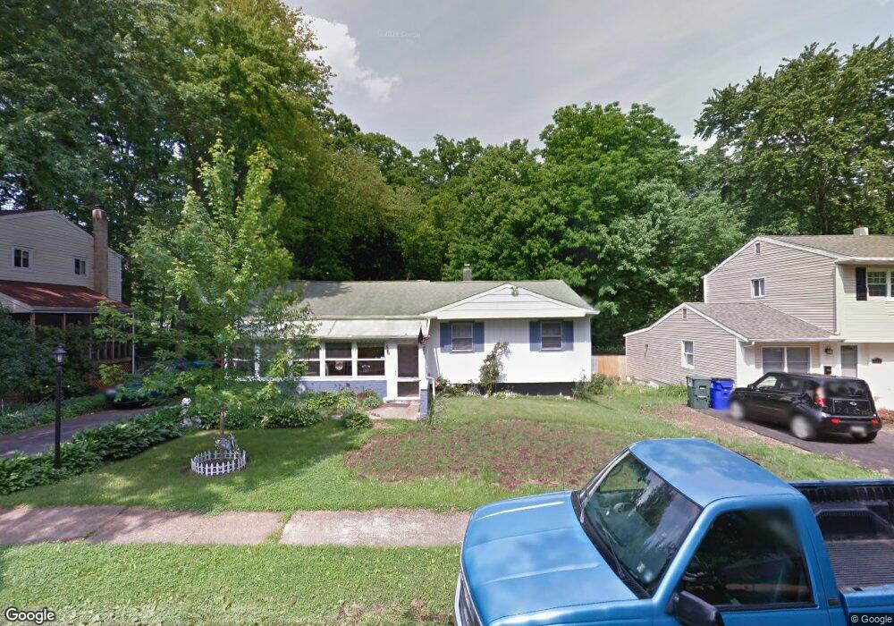
204 Townsend Ave Wilmington, DE 19809
Estimated Value: $254,000 - $317,796
3
Beds
3
Baths
760
Sq Ft
$376/Sq Ft
Est. Value
About This Home
This home is located at 204 Townsend Ave, Wilmington, DE 19809 and is currently estimated at $285,699, approximately $375 per square foot. 204 Townsend Ave is a home located in New Castle County with nearby schools including Maple Lane Elementary School, Pierre S. Dupont Middle School, and Mount Pleasant High School.
Ownership History
Date
Name
Owned For
Owner Type
Purchase Details
Closed on
Apr 15, 2009
Sold by
Rumpff Robert and Rumpff Wendy
Bought by
Rumpff Robert
Current Estimated Value
Purchase Details
Closed on
Jun 8, 2004
Sold by
Jowder John F and Jowder Susan M
Bought by
Rumpff Robert and Rumpff Wendy
Home Financials for this Owner
Home Financials are based on the most recent Mortgage that was taken out on this home.
Original Mortgage
$123,920
Outstanding Balance
$60,536
Interest Rate
5.99%
Mortgage Type
New Conventional
Estimated Equity
$225,163
Create a Home Valuation Report for This Property
The Home Valuation Report is an in-depth analysis detailing your home's value as well as a comparison with similar homes in the area
Home Values in the Area
Average Home Value in this Area
Purchase History
| Date | Buyer | Sale Price | Title Company |
|---|---|---|---|
| Rumpff Robert | -- | None Available | |
| Rumpff Robert | $154,900 | -- |
Source: Public Records
Mortgage History
| Date | Status | Borrower | Loan Amount |
|---|---|---|---|
| Open | Rumpff Robert | $123,920 | |
| Closed | Rumpff Robert | $15,490 |
Source: Public Records
Tax History Compared to Growth
Tax History
| Year | Tax Paid | Tax Assessment Tax Assessment Total Assessment is a certain percentage of the fair market value that is determined by local assessors to be the total taxable value of land and additions on the property. | Land | Improvement |
|---|---|---|---|---|
| 2024 | $1,869 | $49,100 | $10,400 | $38,700 |
| 2023 | $1,708 | $49,100 | $10,400 | $38,700 |
| 2022 | $1,737 | $49,100 | $10,400 | $38,700 |
| 2021 | $1,737 | $49,100 | $10,400 | $38,700 |
| 2020 | $1,737 | $49,100 | $10,400 | $38,700 |
| 2019 | $1,915 | $49,100 | $10,400 | $38,700 |
| 2018 | $1,660 | $49,100 | $10,400 | $38,700 |
| 2017 | $1,634 | $49,100 | $10,400 | $38,700 |
| 2016 | $1,633 | $49,100 | $10,400 | $38,700 |
| 2015 | $1,503 | $49,100 | $10,400 | $38,700 |
| 2014 | $1,502 | $49,100 | $10,400 | $38,700 |
Source: Public Records
Map
Nearby Homes
- 707 Parkside Blvd
- 814 Naudain Ave
- 2603 Lincoln Ave
- 1904 Garfield Ave
- 1810 Garfield Ave
- 2810 Green St
- 307 New York Ave
- 45 Osage Rd
- 48 4th Ave
- 8 Commonwealth Ave
- 1400 Carson Rd
- 1425 Bucknell Rd
- 1607 Silverside Rd
- 3 Forrest Ave
- 1900 Beechwood Dr
- 1602 Harvey Rd
- 120 Hilldale Ct
- 69 Indian Field Rd
- 1249 Parish Ave
- 12 Wistar St
- 202 Townsend Ave
- 206 Townsend Ave
- 208 Townsend Ave
- 200 Townsend Ave
- 205 Townsend Ave
- 2312 Grant Ave
- 203 Townsend Ave
- 112 Townsend Ave
- 301 Townsend Ave
- 2313 Harrison Ave
- 206 Milford Ave
- 702 Parkside Blvd
- 204 Milford Ave
- 210 Milford Ave
- 113 Townsend Ave
- 704 Parkside Blvd
- 202 Milford Ave
- 706 Parkside Blvd
- 708 Parkside Blvd
- 2311 Harrison Ave