Estimated Value: $636,000 - $832,000
4
Beds
2
Baths
3,610
Sq Ft
$211/Sq Ft
Est. Value
About This Home
This home is located at 204 W Main St, Floyd, VA 24091 and is currently estimated at $760,965, approximately $210 per square foot. 204 W Main St is a home located in Floyd County with nearby schools including Floyd County High School, Rising Sun Community School, and Floyd Montessori.
Ownership History
Date
Name
Owned For
Owner Type
Purchase Details
Closed on
Jun 12, 2024
Sold by
Moore Dolly S and Moore Samuel Houston
Bought by
Petrosky George C and Petrosky Mayurica N
Current Estimated Value
Purchase Details
Closed on
Jan 10, 2019
Sold by
Moore Samuel Houston
Bought by
Moore Samuel Houston and Moore Dolly S
Create a Home Valuation Report for This Property
The Home Valuation Report is an in-depth analysis detailing your home's value as well as a comparison with similar homes in the area
Purchase History
| Date | Buyer | Sale Price | Title Company |
|---|---|---|---|
| Petrosky George C | $765,000 | Virginia Title Center | |
| Moore Samuel Houston | -- | None Available |
Source: Public Records
Tax History
| Year | Tax Paid | Tax Assessment Tax Assessment Total Assessment is a certain percentage of the fair market value that is determined by local assessors to be the total taxable value of land and additions on the property. | Land | Improvement |
|---|---|---|---|---|
| 2025 | $3,409 | $774,800 | $150,000 | $624,800 |
| 2024 | $3,180 | $474,600 | $100,000 | $374,600 |
| 2023 | $3,085 | $474,600 | $100,000 | $374,600 |
| 2022 | $3,085 | $474,600 | $100,000 | $374,600 |
| 2021 | $2,990 | $474,600 | $100,000 | $374,600 |
| 2020 | $2,848 | $474,600 | $100,000 | $374,600 |
| 2019 | $2,211 | $368,500 | $65,000 | $303,500 |
| 2018 | $2,211 | $368,500 | $65,000 | $303,500 |
| 2017 | $2,027 | $368,500 | $65,000 | $303,500 |
| 2016 | $2,027 | $368,500 | $65,000 | $303,500 |
| 2015 | -- | $368,500 | $65,000 | $303,500 |
| 2014 | -- | $368,500 | $65,000 | $303,500 |
Source: Public Records
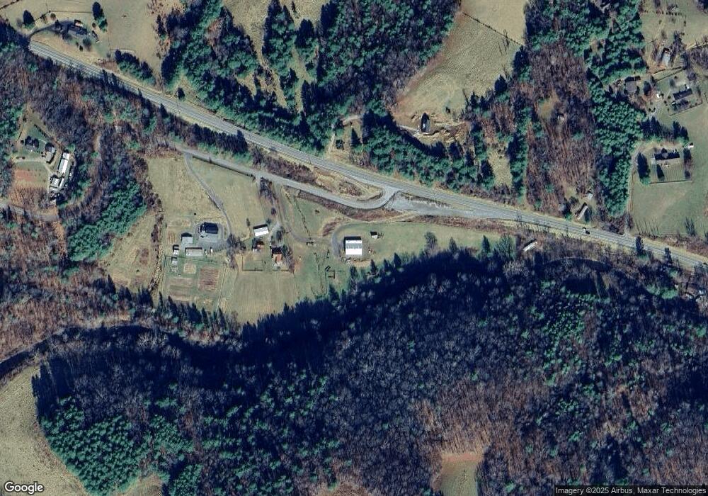
Map
Nearby Homes
- 329 Parkway Ln S
- 132 Christiansburg Pike NE
- 187 Christiansburg Pike NE
- tbd Epperly Mill Rd
- TBD Franklin Pike SE
- TBD Christiansburg Pike NE
- 470 Epperly Mill Rd SW
- 220 Annie Ln SW
- 103 & 109 Alderman Dr SE
- 0 Epperly Mill Rd SW Unit 925458
- 183 Abrahams Place NE
- 1047 Barberry Rd SE
- 241 Sams Rd SE
- 0 0 Unit VAHA2001058
- 1705 Barberry Rd SE
- 174 Water Haven Ln SE
- 00 Shooting Creek Rd SE
- 543 Cox Store Rd SW
- 1141 Dobbins Farm Rd NE
- 0 Christiansburg Pike NE Unit 924808
- 204 W Main St
- 0 Harris St
- 210 W Main St
- 125 Page St NW
- 127 Page St NW
- 214 W Main St
- 129 Page St NW
- 209 W Main St
- 211 W Main St
- 126 N Locust St
- 110 N Locust St
- 202 N Locust St
- TBD 194 ac Dusty Rock Rd
- 301 W Main St
- 0 Route 8 Unit 305127
- 0 Willis Rd Unit 419811
- 206 N Locust St
- 0 Us-221 Unit 313787
- 305 W Main St
- 326 W Oxford St
Your Personal Tour Guide
Ask me questions while you tour the home.