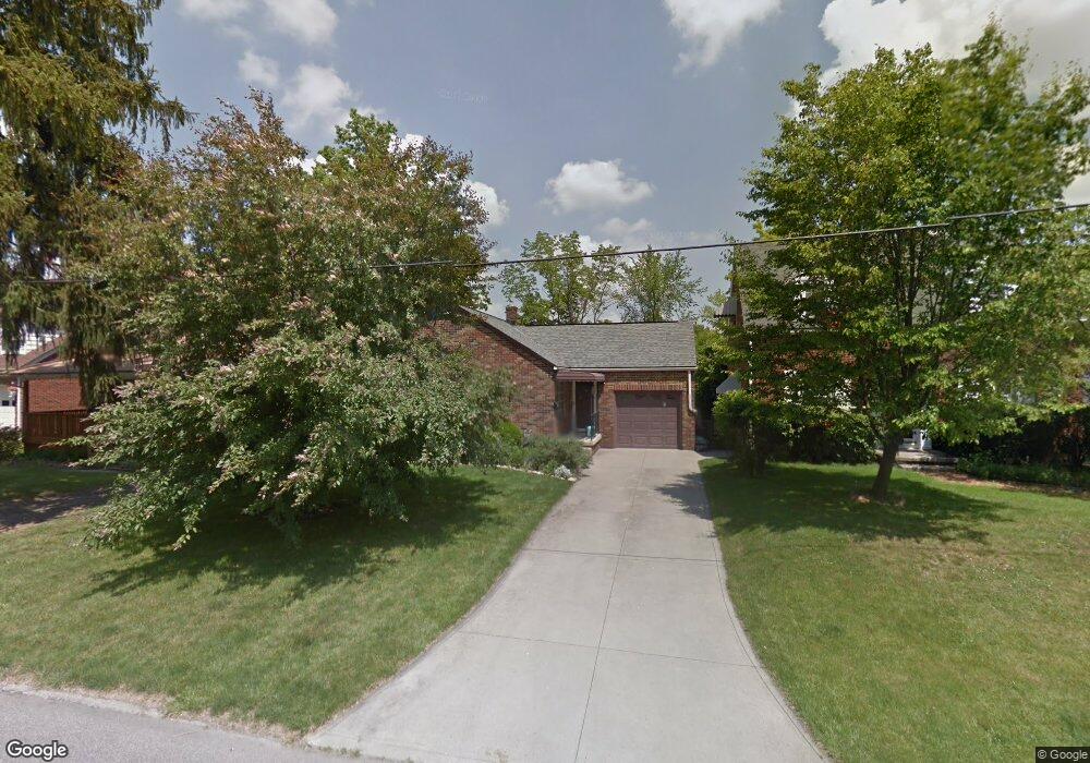
204 Walter Ave Mansfield, OH 44903
Estimated Value: $66,000 - $97,000
2
Beds
1
Bath
747
Sq Ft
$110/Sq Ft
Est. Value
About This Home
This home is located at 204 Walter Ave, Mansfield, OH 44903 and is currently estimated at $81,834, approximately $109 per square foot. 204 Walter Ave is a home located in Richland County with nearby schools including St. Peter's Elementary/Montessori School, Discovery School, and St. Peter's Junior High / High School.
Ownership History
Date
Name
Owned For
Owner Type
Purchase Details
Closed on
Jun 18, 2001
Sold by
Foltz Anton M
Bought by
Koch Jacquelyn A
Current Estimated Value
Home Financials for this Owner
Home Financials are based on the most recent Mortgage that was taken out on this home.
Original Mortgage
$64,075
Outstanding Balance
$24,443
Interest Rate
7.16%
Mortgage Type
New Conventional
Estimated Equity
$57,391
Create a Home Valuation Report for This Property
The Home Valuation Report is an in-depth analysis detailing your home's value as well as a comparison with similar homes in the area
Home Values in the Area
Average Home Value in this Area
Purchase History
| Date | Buyer | Sale Price | Title Company |
|---|---|---|---|
| Koch Jacquelyn A | $68,500 | -- |
Source: Public Records
Mortgage History
| Date | Status | Borrower | Loan Amount |
|---|---|---|---|
| Open | Koch Jacquelyn A | $64,075 |
Source: Public Records
Tax History
| Year | Tax Paid | Tax Assessment Tax Assessment Total Assessment is a certain percentage of the fair market value that is determined by local assessors to be the total taxable value of land and additions on the property. | Land | Improvement |
|---|---|---|---|---|
| 2024 | $717 | $15,660 | $2,780 | $12,880 |
| 2023 | $733 | $15,660 | $2,780 | $12,880 |
| 2022 | $603 | $10,790 | $2,260 | $8,530 |
| 2021 | $607 | $10,790 | $2,260 | $8,530 |
| 2020 | $621 | $10,790 | $2,260 | $8,530 |
| 2019 | $688 | $10,790 | $2,260 | $8,530 |
| 2018 | $679 | $10,790 | $2,260 | $8,530 |
| 2017 | $660 | $10,790 | $2,260 | $8,530 |
| 2016 | $1,058 | $16,760 | $3,000 | $13,760 |
| 2015 | $1,010 | $16,760 | $3,000 | $13,760 |
| 2014 | $997 | $16,760 | $3,000 | $13,760 |
| 2012 | $400 | $17,650 | $3,160 | $14,490 |
Source: Public Records
Map
Nearby Homes
- 0 Cline Ave Hedeen Abbeyfeale Unit 9066362
- 219 Lexington Ave
- 27 Dunbilt Ct
- 183 Carpenter Rd
- 74 & 78 Lexington Ave
- 135 Wood St
- 310 Townview Cir N
- 507 Townview Cir E
- 172 Crouse St
- 530 Wood St
- 286 S Main St
- 120 Distl Ave
- 394 S Main St
- 212 S Main St
- 22 Small Ave
- 29 Ford Ave
- 273 Hammond Ave
- 466 Lexington Ave
- 470 Lexington Ave
- 51 Lind Ave
- 210 Walter Ave
- 200 Walter Ave
- 214 Walter Ave
- 196 Walter Ave
- 218 Walter Ave
- 320 Sturges Ave
- 209 Richland Ave
- 324 Sturges Ave
- 213 Richland Ave
- 222 Walter Ave
- 318 Sturges Ave
- 211 Walter Ave
- 201 Walter Ave
- 213 Walter Ave
- 312 Sturges Ave
- 306 Sturges Ave
- 215 Walter Ave
- 226 Walter Ave
- 225 Richland Ave
- 340 Sturges Ave
Your Personal Tour Guide
Ask me questions while you tour the home.