2041 Mockingbird Ave Shakopee, MN 55379
Estimated Value: $242,000 - $264,000
2
Beds
2
Baths
1,478
Sq Ft
$171/Sq Ft
Est. Value
About This Home
This home is located at 2041 Mockingbird Ave, Shakopee, MN 55379 and is currently estimated at $252,936, approximately $171 per square foot. 2041 Mockingbird Ave is a home located in Scott County with nearby schools including Sun Path Elementary School, Shakopee West Middle School, and Shakopee Senior High School.
Ownership History
Date
Name
Owned For
Owner Type
Purchase Details
Closed on
Jun 29, 2007
Sold by
Nelson Michael T
Bought by
Asmus Amy
Current Estimated Value
Purchase Details
Closed on
Aug 25, 2000
Sold by
Kanis Craig R and Kanis Kara Ann
Bought by
Nelson Michael T
Purchase Details
Closed on
Sep 27, 1999
Sold by
Centex Homes Minnesota Division
Bought by
Kanis Craig R
Create a Home Valuation Report for This Property
The Home Valuation Report is an in-depth analysis detailing your home's value as well as a comparison with similar homes in the area
Home Values in the Area
Average Home Value in this Area
Purchase History
| Date | Buyer | Sale Price | Title Company |
|---|---|---|---|
| Asmus Amy | $164,000 | -- | |
| Nelson Michael T | $136,000 | -- | |
| Kanis Craig R | $124,330 | -- |
Source: Public Records
Tax History
| Year | Tax Paid | Tax Assessment Tax Assessment Total Assessment is a certain percentage of the fair market value that is determined by local assessors to be the total taxable value of land and additions on the property. | Land | Improvement |
|---|---|---|---|---|
| 2025 | $2,206 | $240,200 | $68,500 | $171,700 |
| 2024 | $2,286 | $229,200 | $65,200 | $164,000 |
| 2023 | $2,352 | $225,800 | $63,900 | $161,900 |
| 2022 | $2,258 | $228,400 | $65,500 | $162,900 |
| 2021 | $1,936 | $192,200 | $51,300 | $140,900 |
| 2020 | $2,080 | $183,700 | $42,000 | $141,700 |
| 2019 | $1,950 | $175,100 | $40,000 | $135,100 |
| 2018 | $1,782 | $0 | $0 | $0 |
| 2016 | $1,752 | $0 | $0 | $0 |
| 2014 | -- | $0 | $0 | $0 |
Source: Public Records
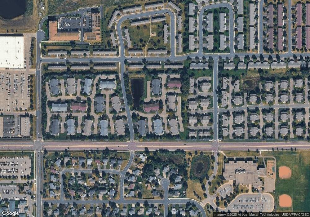
Map
Nearby Homes
- 2066 Mockingbird Ave
- 2350 Downing Ave
- 1596 Chartreux Ave
- 2423 Tyrone Dr
- 2399 Tyrone Dr
- 2351 Tyrone Dr
- 1928 Vierling Dr E
- 2655 King Ave
- 2006 Tyrone Dr
- 2542 Mathias Rd
- 2574 Vierling Dr E
- 2795 Downing Ave
- 1624 Philipp Way
- 2817 Downing Ave
- 1542 Philipp Way
- 1227 Elmwood Ave Unit 85
- 2868 Trinity Dr
- 2871 Trinity Dr
- 1545 Philipp Way
- 1705 Tyrone Dr
- 1576 Hummingbird St
- 2045 Mockingbird Ave Unit 405
- 2031 Mockingbird Ave
- 1580 Hummingbird St
- 1572 Hummingbird St
- 1572 Hummingbird St Unit 402
- 2027 Mockingbird Ave
- 1568 Hummingbird St Unit 401
- 2034 Mockingbird Ave Unit 204
- 2050 Mockingbird Ave Unit 205
- 1583 Hummingbird St
- 1579 Hummingbird St Unit 502
- 1544 Hummingbird St Unit 601
- 1528 Hummingbird St
- 2018 Mockingbird Ave
- 2018 Mockingbird Ave Unit 105
- 2038 Mockingbird Ave
- 2054 Mockingbird Ave Unit 205
- 1575 Hummingbird St
- 1571 Hummingbird St Unit 504
Your Personal Tour Guide
Ask me questions while you tour the home.