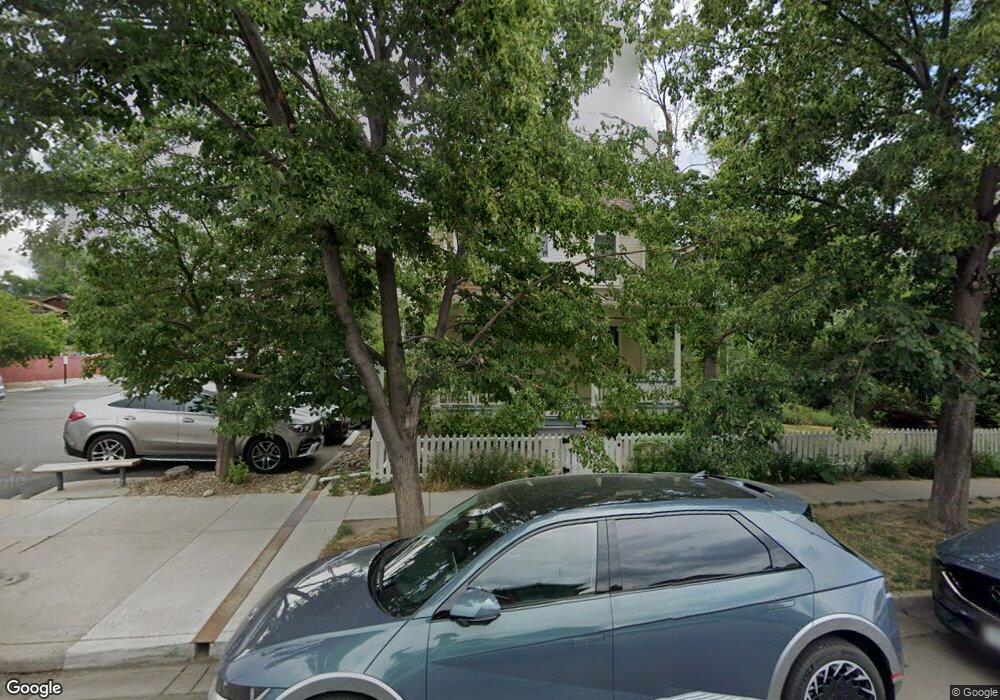
2041 Pearl St Unit 1 Boulder, CO 80302
Whittier NeighborhoodEstimated Value: $1,137,888
5
Beds
4
Baths
2,854
Sq Ft
$399/Sq Ft
Est. Value
About This Home
This home is located at 2041 Pearl St Unit 1, Boulder, CO 80302 and is currently priced at $1,137,888, approximately $398 per square foot. 2041 Pearl St Unit 1 is a home located in Boulder County with nearby schools including Whittier Elementary School, Casey Middle School, and Boulder High School.
Ownership History
Date
Name
Owned For
Owner Type
Purchase Details
Closed on
Aug 21, 2023
Sold by
Mother House Inc
Bought by
City Of Boulder
Current Estimated Value
Purchase Details
Closed on
Oct 4, 1996
Sold by
Brynn Grey Iv Llc
Bought by
Mother House Inc
Purchase Details
Closed on
May 13, 1996
Sold by
Mintz Jo Sharon Miller and Miller Mary G
Bought by
Brynn Grey Iv Llc
Create a Home Valuation Report for This Property
The Home Valuation Report is an in-depth analysis detailing your home's value as well as a comparison with similar homes in the area
Home Values in the Area
Average Home Value in this Area
Purchase History
| Date | Buyer | Sale Price | Title Company |
|---|---|---|---|
| City Of Boulder | $1,800,000 | First American Title | |
| Mother House Inc | $304,654 | -- | |
| Brynn Grey Iv Llc | $125,000 | -- |
Source: Public Records
Tax History Compared to Growth
Tax History
| Year | Tax Paid | Tax Assessment Tax Assessment Total Assessment is a certain percentage of the fair market value that is determined by local assessors to be the total taxable value of land and additions on the property. | Land | Improvement |
|---|---|---|---|---|
| 2025 | -- | $36,969 | $19,375 | $17,594 |
| 2024 | -- | $36,969 | $19,375 | $17,594 |
| 2023 | $0 | $39,631 | $20,770 | $18,861 |
| 2022 | $0 | $41,109 | $21,545 | $19,564 |
| 2021 | $0 | $42,292 | $22,165 | $20,127 |
| 2020 | $0 | $42,292 | $22,165 | $20,127 |
| 2019 | $0 | $42,292 | $22,165 | $20,127 |
| 2018 | $0 | $42,588 | $22,320 | $20,268 |
| 2017 | $0 | $47,083 | $24,676 | $22,407 |
| 2016 | $0 | $47,083 | $24,676 | $22,407 |
| 2014 | -- | $47,083 | $24,676 | $22,407 |
Source: Public Records
Map
Nearby Homes
- 1934 18th St Unit 14
- 2025 18th St
- 2201 Pearl St Unit 224
- 2201 Pearl St Unit 2
- 1945 Canyon Blvd
- 1707 Walnut St Unit 203
- 1707 Walnut St Unit 307
- 1707 Walnut St Unit 208
- 1707 Walnut St Unit 308
- 1707 Walnut St Unit 101
- 1707 Walnut St Unit 207
- 1707 Walnut St Unit 206
- 1707 Walnut St Unit 102
- 1707 Walnut St Unit 210
- 2304 Pearl St Unit 2
- 1916 23rd St
- 2336 Spruce St Unit 5
- 1842 Canyon Blvd Unit 105
- 1842 Canyon Blvd Unit 202
- 2227 Canyon Blvd Unit 253B
- 2043 Pearl St
- 2015 21st St
- 2015 21st St Unit D
- 2015 21st St Unit B
- 2015 21st St Unit E
- 2015 21st St Unit A
- 2015 21st St Unit C
- 2032 Spruce St Unit 2034
- 2040 Spruce St
- 2052 Spruce St
- 2052 Spruce St Unit D
- 2015 Pearl St
- 2005 Pearl St
- 2030 Spruce St
- 2034 Pearl St Unit West
- 2034 Pearl St Unit East
- 2034 Pearl St Unit 200
- 2034 Pearl St Unit 100
- 2034 Pearl St
- 2034 Pearl St Unit 202