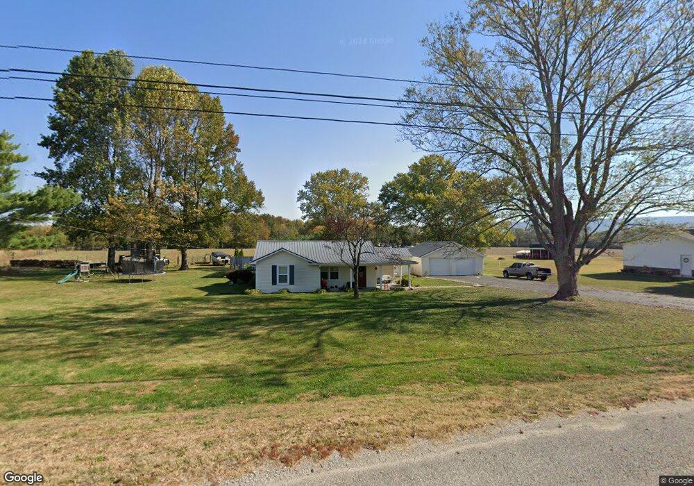
2041 Us 41 Pelham, TN 37366
Estimated Value: $235,000 - $298,000
--
Bed
2
Baths
1,475
Sq Ft
$186/Sq Ft
Est. Value
About This Home
This home is located at 2041 Us 41, Pelham, TN 37366 and is currently estimated at $274,244, approximately $185 per square foot. 2041 Us 41 is a home located in Grundy County.
Ownership History
Date
Name
Owned For
Owner Type
Purchase Details
Closed on
Mar 31, 2009
Sold by
Brumley Eric D
Bought by
Selvog Brandon W
Current Estimated Value
Home Financials for this Owner
Home Financials are based on the most recent Mortgage that was taken out on this home.
Original Mortgage
$118,750
Outstanding Balance
$76,031
Interest Rate
5.18%
Estimated Equity
$198,213
Purchase Details
Closed on
Dec 9, 2003
Sold by
Winton Judy H and Randall Ke
Bought by
Brumley Eric D
Home Financials for this Owner
Home Financials are based on the most recent Mortgage that was taken out on this home.
Original Mortgage
$94,350
Interest Rate
5.98%
Mortgage Type
VA
Purchase Details
Closed on
Oct 9, 1984
Bought by
Winton Randall Kel and Winton Judy H
Create a Home Valuation Report for This Property
The Home Valuation Report is an in-depth analysis detailing your home's value as well as a comparison with similar homes in the area
Home Values in the Area
Average Home Value in this Area
Purchase History
| Date | Buyer | Sale Price | Title Company |
|---|---|---|---|
| Selvog Brandon W | $125,000 | -- | |
| Brumley Eric D | $92,500 | -- | |
| Winton Randall Kel | -- | -- |
Source: Public Records
Mortgage History
| Date | Status | Borrower | Loan Amount |
|---|---|---|---|
| Open | Winton Randall Kel | $118,750 | |
| Previous Owner | Winton Randall Kel | $94,350 |
Source: Public Records
Tax History Compared to Growth
Tax History
| Year | Tax Paid | Tax Assessment Tax Assessment Total Assessment is a certain percentage of the fair market value that is determined by local assessors to be the total taxable value of land and additions on the property. | Land | Improvement |
|---|---|---|---|---|
| 2024 | $732 | $51,300 | $8,725 | $42,575 |
| 2023 | $732 | $51,300 | $8,725 | $42,575 |
| 2022 | $698 | $31,525 | $5,700 | $25,825 |
| 2021 | $698 | $31,525 | $5,700 | $25,825 |
| 2020 | $698 | $31,525 | $5,700 | $25,825 |
| 2019 | $736 | $29,900 | $5,700 | $24,200 |
| 2018 | $736 | $29,000 | $5,700 | $23,300 |
| 2017 | $736 | $29,000 | $5,700 | $23,300 |
| 2016 | $736 | $29,000 | $5,700 | $23,300 |
| 2015 | $736 | $29,000 | $5,700 | $23,300 |
| 2014 | $736 | $28,996 | $0 | $0 |
Source: Public Records
Map
Nearby Homes
- 0 White Ridge Rd
- 0 Laxton Rd Unit RTC2957818
- 0 Providence Rd
- 0 U S Highway 64
- 0 Clouse Hill Rd
- 774 Sherrell Rd
- 388 Charlie Roberts Rd
- 72 Lady Slipper Ln
- 11 Jess Long Ln
- 4012 Payne Cove Rd
- 0 Claiborne View Rd Unit RTC2797207
- 1106 N Bluff Cir
- 849 N Bluff Cir
- 0 Deep Woods Rd
- 375 Nickajack Trail
- 80 Mountain Laurel Ln
- 1863 Lake Louisa Loop
- 0 Longview Ln Unit 1510528
- 2271 Timberwood Trace
- 0 Long View Ln Unit RTC2865981