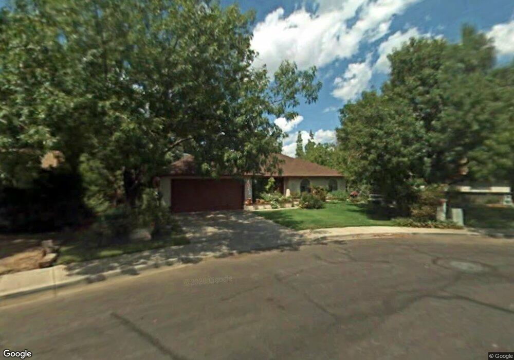
2042 S Cherry Mesa, AZ 85210
Dobson NeighborhoodEstimated Value: $418,344 - $539,000
4
Beds
3
Baths
1,758
Sq Ft
$286/Sq Ft
Est. Value
About This Home
This home is located at 2042 S Cherry, Mesa, AZ 85210 and is currently estimated at $502,836, approximately $286 per square foot. 2042 S Cherry is a home located in Maricopa County with nearby schools including Crismon Elementary School, Franklin at Brimhall Elementary School, and Franklin West Elementary School.
Ownership History
Date
Name
Owned For
Owner Type
Purchase Details
Closed on
Jun 16, 2009
Sold by
Smith David A and Smith Amy A
Bought by
Guzzon John D and Guzzon Morganna Deva Leone
Current Estimated Value
Home Financials for this Owner
Home Financials are based on the most recent Mortgage that was taken out on this home.
Original Mortgage
$179,930
Outstanding Balance
$114,050
Interest Rate
4.83%
Mortgage Type
FHA
Estimated Equity
$388,786
Purchase Details
Closed on
Apr 16, 1996
Sold by
Greer Leonard D and Greer Julie
Bought by
Smith David A and Smith Amy A
Home Financials for this Owner
Home Financials are based on the most recent Mortgage that was taken out on this home.
Original Mortgage
$77,000
Interest Rate
8.07%
Mortgage Type
New Conventional
Create a Home Valuation Report for This Property
The Home Valuation Report is an in-depth analysis detailing your home's value as well as a comparison with similar homes in the area
Home Values in the Area
Average Home Value in this Area
Purchase History
| Date | Buyer | Sale Price | Title Company |
|---|---|---|---|
| Guzzon John D | $183,250 | Equity Title Agency Inc | |
| Smith David A | $115,000 | Fidelity Title |
Source: Public Records
Mortgage History
| Date | Status | Borrower | Loan Amount |
|---|---|---|---|
| Open | Guzzon John D | $179,930 | |
| Previous Owner | Smith David A | $77,000 |
Source: Public Records
Tax History Compared to Growth
Tax History
| Year | Tax Paid | Tax Assessment Tax Assessment Total Assessment is a certain percentage of the fair market value that is determined by local assessors to be the total taxable value of land and additions on the property. | Land | Improvement |
|---|---|---|---|---|
| 2025 | $1,609 | $19,378 | -- | -- |
| 2024 | $1,627 | $18,455 | -- | -- |
| 2023 | $1,627 | $36,500 | $7,300 | $29,200 |
| 2022 | $1,591 | $27,220 | $5,440 | $21,780 |
| 2021 | $1,635 | $25,330 | $5,060 | $20,270 |
| 2020 | $1,613 | $23,210 | $4,640 | $18,570 |
| 2019 | $1,494 | $21,180 | $4,230 | $16,950 |
| 2018 | $1,427 | $19,660 | $3,930 | $15,730 |
| 2017 | $1,382 | $18,500 | $3,700 | $14,800 |
| 2016 | $1,357 | $18,250 | $3,650 | $14,600 |
| 2015 | $1,281 | $16,460 | $3,290 | $13,170 |
Source: Public Records
Map
Nearby Homes
- 563 W Kilarea Ave
- 906 W Kiowa Ave
- 1850 S Westwood Unit 39
- 909 W Isabella Ave
- 643 W Medina Ave
- 1930 S Beverly
- 1942 S Emerson Unit 130
- 1942 S Emerson Unit 238
- 1942 S Emerson Unit 107
- 2156 S Emerson
- 1841 S Spruce
- 461 W Holmes Ave Unit 350
- 461 W Holmes Ave Unit 180
- 945 W Mendoza Ave
- 1005 W Madero Ave
- 1231 W Baseline Rd
- 1255 W Baseline Rd Unit B139
- 1331 W Baseline Rd Unit 167
- 1331 W Baseline Rd Unit 251
- 1331 W Baseline Rd Unit 148
- 632 W Keats Ave
- 2050 S Cherry
- 2039 S Extension Rd
- 2047 S Extension Rd
- 2031 S Extension Rd
- 624 W Keats Ave
- 2058 S Cherry
- 625 W Keats Ave
- 2055 S Extension Rd
- 745 W Baseline Rd
- 630 W Kiva Ave
- 618 W Keats Ave
- 619 W Keats Ave
- 620 W Kiva Ave
- 2040 S Extension Rd
- 2032 S Extension Rd
- 608 W Keats Ave
- 715 W Kiva Ave
- 609 W Keats Ave
- 2048 S Extension Rd